


Pick a pass that clears your horizon
Read the start time in the time zone of the location you selected. This is when to start looking in the predicted appears direction, not when the station will be overhead. A pass that starts at 8:10 and lasts four minutes is mostly over if you check at 8:14. Find the direction and put the phone away before the pass begins.
Look at maximum height, also called maximum elevation, to decide whether your spot will work. Zero degrees is the horizon; 90 degrees is directly overhead. This number is an angle in your sky, not the altitude of the spacecraft. If buildings or trees block the bottom 25 degrees of the sky in your viewing direction, a pass topping out at 15 degrees there will stay out of sight. A higher pass is usually easier to pick up, particularly in a city.
Here is an illustrative listing, not tonight’s forecast: 8:10 p.m. start, visible for four minutes, appears 10° above WSW, maximum height 55°, disappears 25° above NE. Start looking low in the west-southwest. If a roof hides the first few seconds, look higher along the projected path; the station may emerge above it. After reaching its highest point, it heads toward the northeast. The final direction and height tell you where to look for the end of the pass. Notice that the example ends at 25°, well above a flat horizon: the station doesn’t need to set to disappear.

Check the view before you leave
Stand in the place you actually intend to use. Try the direction marked appears first, then check the middle and end of the route. A compass can help you find west-southwest, the direction between west and southwest; the elevation is how far to tilt your gaze above the horizon at that bearing. Compare the predicted path with the roofs. A narrow street opening might reveal the final minute even if it blocks the start, but an open space lets you follow the whole pass.
If you have a choice, compare two listings instead of automatically taking the earlier one. A brief pass low to the horizon might be a good view from a clear seafront but poor from a walled courtyard. A later, higher pass over that same courtyard gives you longer to identify what you’re seeing, provided the forecast actually shows a long enough visible segment. Maximum elevation and duration answer different questions. NASA’s guide to the listing explains which is which.
What will it look like?
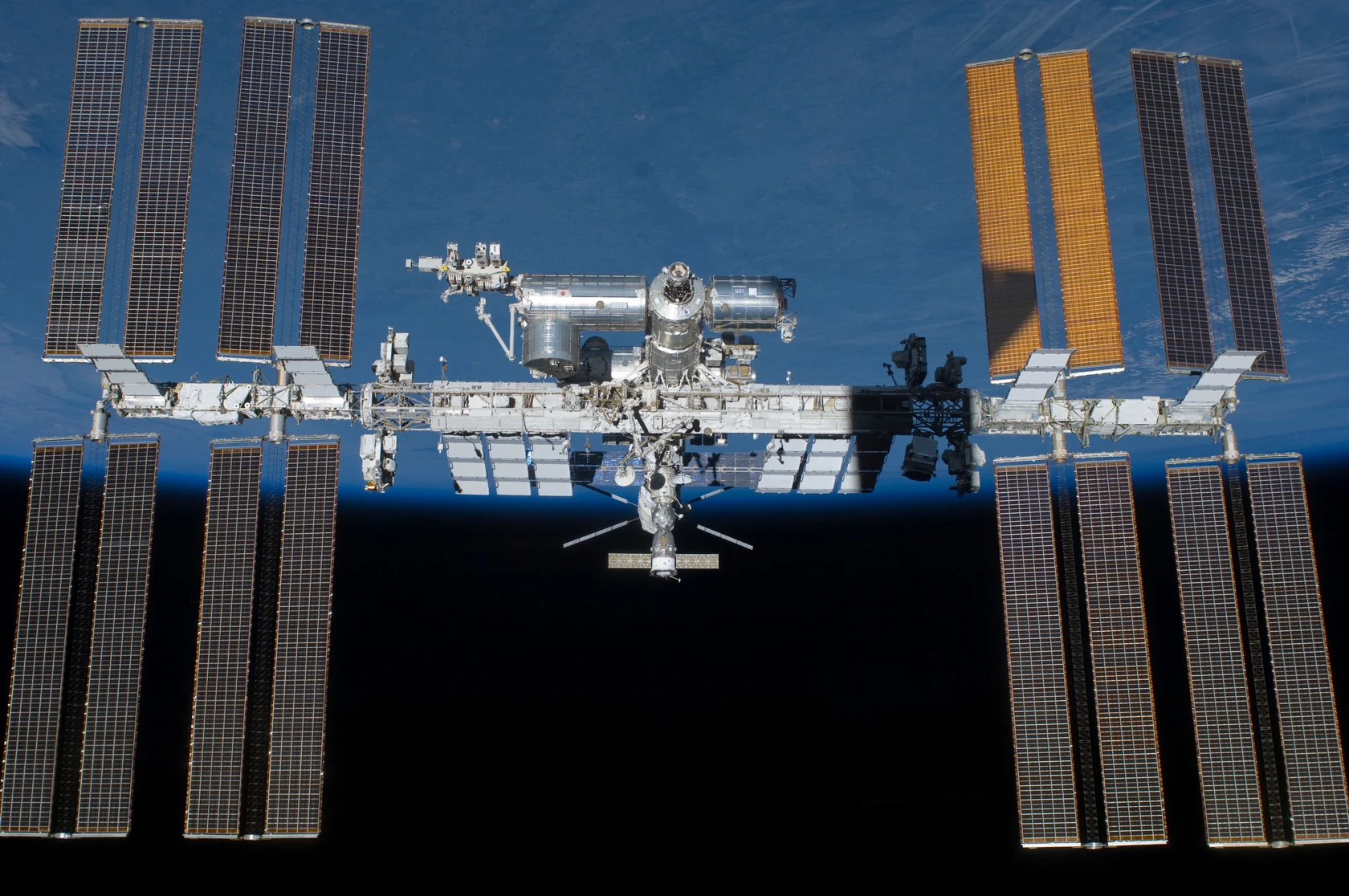
Look for a white, star-like point moving steadily against the background. It will not hang in one place like Venus, and it generally will not blink red and green like a plane. From the ground with the unaided eye, you will not see the outline of the station or distinguish its solar arrays. The best identification is the right object moving in the predicted direction at the predicted time, not simply the brightest thing in the sky.
A streak that lasts a fraction of a second is more likely a meteor. A string of several points following the same path may be a group of satellites. A single point moving steadily can also be another satellite. That is why the time and direction in the prediction matter more than brightness alone.
Why does it disappear before reaching the horizon?
The station does not shine like a star. What you see is sunlight reflected off its structure and solar arrays. Near dusk or dawn, the Sun can be below your horizon while the station, orbiting about 400 kilometres above Earth, is still in sunlight. The sky behind it is dark enough to show it clearly. When the ISS moves into Earth’s shadow, it loses that direct sunlight and can fade while still high overhead. It has not stopped moving or fallen below the horizon.
An orbit map can show the ISS over your region without any visible pass. Imagine drawing a line from the station back to the Sun: if Earth interrupts that line, the station is in shadow even if you have a clear line of sight to it. Conversely, a perfectly sunlit station can go unnoticed against a bright daytime sky. The useful overlap is a dark background for you and direct sunlight on the station.
The reverse can also happen. A pass may begin with the station already above the horizon, as it moves out of shadow and into sunlight. That is why directions such as “appears 25° above the southeast” can be more useful than simply facing a compass point at the horizon.
Why is there no pass for my city?
The ISS makes a circuit of Earth about every 90 minutes, but that does not mean it comes back over your city every 90 minutes. Earth rotates beneath its orbit, so successive passes follow different tracks over the ground. Some pass too far away, some happen in daylight and some put the station in shadow when they do cross your sky. The NASA orbital guide explains why the ground track moves between orbits.
Spacian’s local planner lists potentially visible passes above 10° when your Sun is more than 6° below the horizon, using NASA’s published orbital forecast and a simplified sunlight calculation. A blank result can mean no pass meets those conditions in the available window, or that the forecast is incomplete or unavailable. The separate orbit map can show where the station is without telling you whether you can see it from your location. For another check use NASA’s Next Sighting(s) list, and refresh the forecast on the day: maneuvers can change predictions. Cloud, haze and nearby obstructions can still hide a listed pass. If no listing survives those checks, set a notification for your city or come back to the next clear, high pass rather than searching the sky on an empty forecast.
Can I see the ISS from a city?
Yes, if the pass is high enough and the sky is clear. You do not need a dark-sky trip for a bright pass. An open park or another safe spot away from nearby glare can be enough. Look at the sky in the starting direction before committing to a spot: an unobstructed view of the wrong horizon will not help much. If clouds hide the beginning, keep watching farther along the expected path until the predicted end. The station can cross a clear gap even if the first part of its track is covered.