Low Earth orbit
Our closest orbital neighborhood.
Drag to rotate
Example altitude400 kmInclination51.6°
Close to Earth, below about 2,000 km. Many Earth-imaging satellites and the International Space Station operate here.


Five orbits, five perspectives on Earth. Explore each model to see how altitude, tilt and shape change a mission’s view of our planet.
Our closest orbital neighborhood.
Close to Earth, below about 2,000 km. Many Earth-imaging satellites and the International Space Station operate here.
A wider view for global navigation.
Between low Earth and geostationary orbit. Navigation constellations are a familiar use of this region.
One place on Earth. Always in view.
A circular orbit over the equator. Matching Earth’s rotation keeps a satellite above the same location.
A consistent light on a changing world.
A near-polar orbit that passes a location at a similar local solar time, useful for comparing Earth observations under consistent lighting. Long-term precession is not simulated.
A stepping stone to a higher orbit.
An elongated transfer path toward geostationary altitude. A later engine burn changes the orbit; reaching its farthest point does not itself make the orbit circular.
Inclination describes the tilt of an orbital plane relative to the equator. Perigee and apogee are the nearest and farthest points from Earth. These models show representative shapes, not a satellite’s live position or a predicted launch trajectory. Each view fits its orbit to the available space; Earth keeps its correct size relative to that orbit.
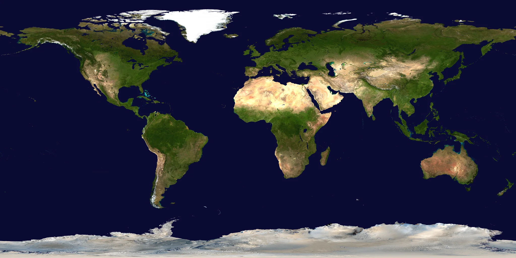
Orbit definitions: ESA’s guide to types of orbit. Earth texture: NASA/Goddard Blue Marble, a historical surface composite. Example values describe this illustration, not a live mission.
Reviewed · By Spacian