
Launch success confirmed. Exact T-0 unclear.
Update ↗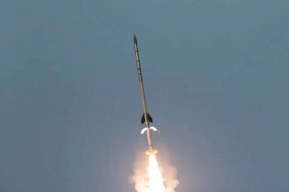
Historical mission record
This page records Black Brant IX | SISTINE and its reported outcome: Launch Successful. The date above is a historical record.
Source record updated . This is a source update, not a confirmed launch time.
Check the source: NASA Wallops Flight Facility - Sounding Rockets Program Office Code 810 ↗ · Launch Library ↗
The latest on this mission
What changed?
Mission status
Launch Successful
Status reported by the mission data provider.
LAUNCH SITEArnhem Space Centre
Mission
The Suborbital Imaging Spectrograph for Transition region Irradiance from Nearby Exoplanet host stars (SISTINE) is a payload from the University of Colorado. Its objective is to study how light from stars affects the atmospheres of the planets around them, including the gases thought to be signs of life. For this flight, it will measure the ultraviolet light output from α Centauri A and B, two stars of the three-star α Centauri system that are the closest stars to our Sun.
- Launch vehicle
- Black Brant IX
- Mission type
- Astrophysics
- Destination orbit
- Suborbital
- Launch pad
- Suborbital Launch Ramp
- Provider
- Equatorial Launch Australia
The vehicle
Published configuration and flight history.
Launch vehicle
Black Brant IX
The Black Brant IX is a Canadian-designed sounding rocket used by the CSA and NASA.
- Height
- 12.2 m
- Diameter
- 0.46 m
- Stages
- 2
- Recorded launches
- 3
- First flight
- 1982-03-16
Recorded timing
This is a mission record, not an upcoming calendar appointment.
Instantaneous windowPublished target
SCHEDULED MOMENT
A single scheduled moment. The schedule may change before launch.
Launch site & orbit
Arnhem Space Centre
The mission in perspective
Launch site
DestinationSuborbital
Explore the launch pad on Earth using its published coordinates.
Explore Earth’s orbits
Drag to rotate
Coverage & sources
Links supplied by the mission data provider.
Coverage and times may change.
Mission coverage
No viewing link has been published yet.
Explore on iPhone
Browse mission details and discover upcoming launches in Spacian.
Open mission in Spacian ↗