
Saved Download on the App Store
← Back to launches
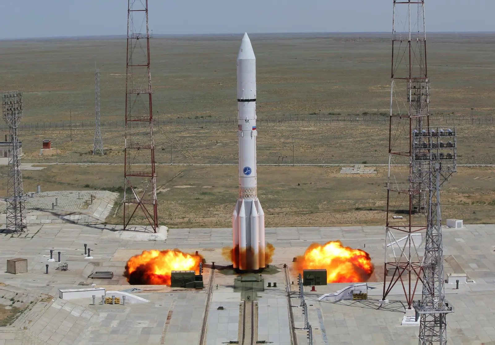
Proton-M/Blok DM-03 | Elektro-L No.3
Khrunichev State Research and Production Space CenterLaunch Successful

Elektro-L No.3

Proton-M Blok DM-03

Watch recorded coverage ↗

Historical mission record

This page records Proton-M/Blok DM-03 | Elektro-L No.3 and its reported outcome: Launch Successful. The date above is a historical record.

Source record updated . This is a source update, not a confirmed launch time.

Check the source: Launch Library ↗

How to read launch targets and status

Mission status
Launch Successful

Status reported by the mission data provider.

LAUNCH SITEBaikonur Cosmodrome, Republic of Kazakhstan

Mission

Elektro-L is a series of meteorological satellites developed for the Russian Federal Space Agency by NPO Lavochkin. They are designed to capture real-time images of clouds and the Earth’s underlying surface, heliogeophysical measurements, collection and translating hydrometeorological and service data.

Launch vehicle
Proton-M Blok DM-03
Mission type
Earth Science
Destination orbit
Geostationary Transfer Orbit
Launch pad
81/24 (81P)
Provider
Khrunichev State Research and Production Space Center

The vehicle

Published configuration and flight history.

Proton-M Blok DM-03
Launch vehicle

Proton-M Blok DM-03

Proton-M Blok DM-03 is a four stage Russian heavy lift launch vehicle derived from the Soviet Proton launch vehicle. It is a Proton-M with an added DM-03 Fourth stage.

Height
58.2 m
Diameter
7.4 m
Stages
4
Recorded launches
7
First flight
2010-12-05

Recorded timing

This is a mission record, not an upcoming calendar appointment.

40 minute windowPublished target
WINDOW OPENS
WINDOW CLOSES

Target ·

The target marker shows its position within the published window. The schedule may change before launch.

Launch site & orbit

Baikonur Cosmodrome, Republic of Kazakhstan

The mission in perspective

Launch site & orbit

Explore the launch pad, then pull back to see the shape of the destination orbit.

Understand this orbit
NASA Blue Marble map of Earth's continents and oceans
Representative orbit · accelerated illustrationNo live tracking or simulated ascent. NASA Blue Marble.

Coverage & sources

Links supplied by the mission data provider.
Coverage and times may change.

Explore on iPhone

Browse mission details and discover upcoming launches in Spacian.

Open mission in Spacian ↗
Download on the App Store
