
Launch success
Update ↗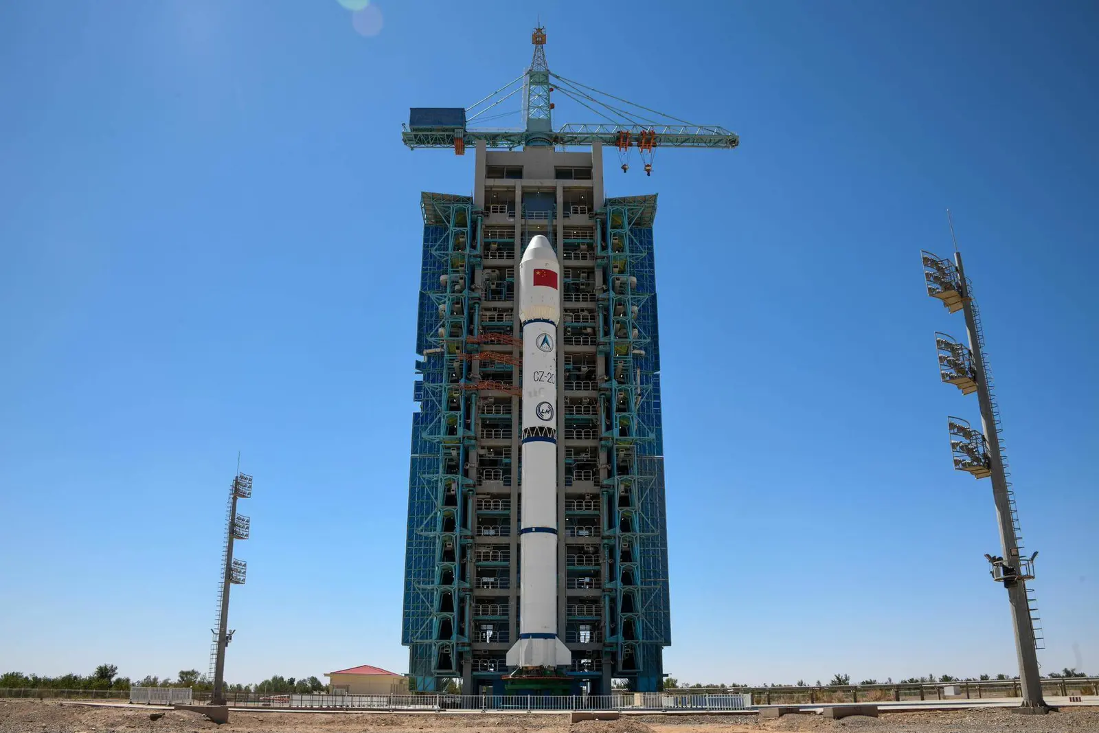
China Aerospace Science and Technology CorporationLaunch Successful
Yaogan-30-10
Long March 2C
Historical mission record
This page records Long March 2C | Yaogan-30-10 and its reported outcome: Launch Successful. The date above is a historical record.
Source record updated . This is a source update, not a confirmed launch time.
Check the source: Launch Library ↗
The latest on this mission
What changed?
Added launch per NOTAMs.
Update ↗Mission status
Launch Successful
Status reported by the mission data provider.
LAUNCH SITEXichang Satellite Launch Center, People's Republic of China
Mission
NOTE: Payload identity not confirmed. The Yaogan-30 is a series of military remote sensing satellites which are launched in triplets. The satellites are spaced by 120° in their orbit.
- Launch vehicle
- Long March 2C
- Mission type
- Government/Top Secret
- Destination orbit
- Low Earth Orbit
- Launch pad
- Launch Complex 3 (LC-3/LA-1)
- Provider
- China Aerospace Science and Technology Corporation
The vehicle
Published configuration and flight history.
Launch vehicle
Long March 2C
The Long March 2C is a family of expendable launch vehicles made and operated by China. It is a two stage launch vehicle with storable propellants, consisting of Nitrogen Tetroxide and Unsymmetrical Dimethylhydrazine.
- Height
- 42 m
- Diameter
- 3.35 m
- Stages
- 2
- Recorded launches
- 64
- First flight
- 1982-09-09
Recorded timing
This is a mission record, not an upcoming calendar appointment.
18 minute windowPublished target
WINDOW OPENS
WINDOW CLOSES
Target ·
The target marker shows its position within the published window. The schedule may change before launch.
Launch site & orbit
Xichang Satellite Launch Center, People's Republic of China
The mission in perspective
Launch site & orbit
Explore the launch pad, then pull back to see the shape of the destination orbit.
Understand this orbit
Coverage & sources
Links supplied by the mission data provider.
Coverage and times may change.
Mission coverage
Long March-2C launches Yaogan-30-10 and Tianqi-15 ↗Further reading
Launch Library ↗Explore on iPhone
Browse mission details and discover upcoming launches in Spacian.
Open mission in Spacian ↗