
← Back to launches
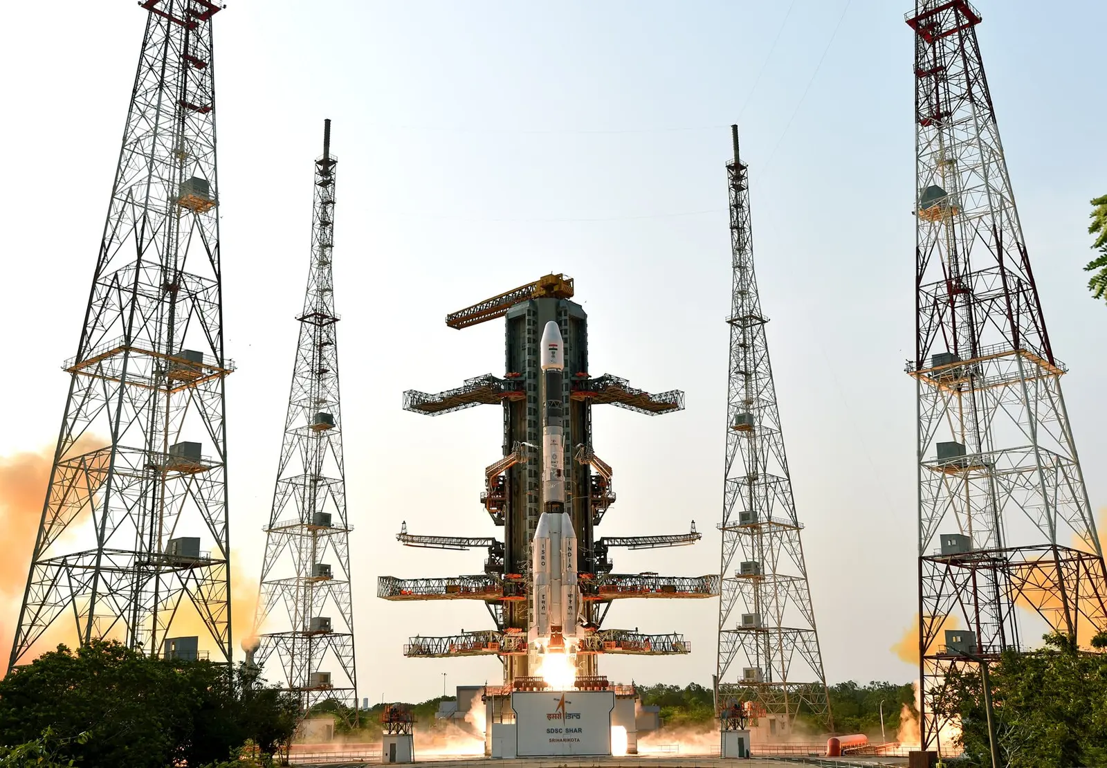
GSLV Mk II | INSAT-3DR
Indian Space Research OrganizationLaunch Successful

INSAT-3DR

GSLV Mk. II

Historical mission record

This page records GSLV Mk II | INSAT-3DR and its reported outcome: Launch Successful. The date above is a historical record.

Source record updated . This is a source update, not a confirmed launch time.

Check the source: Source ↗ · Launch Library ↗

How to read launch targets and status

Mission status
Launch Successful

Status reported by the mission data provider.

LAUNCH SITESatish Dhawan Space Centre, India

Mission

INSAT-3DR is an advanced weather satellite designed for enhanced meteorological observations and will replace INSAT-3D. This involves monitoring land and ocean surfaces, as well as the atmosphere, to provide weather forecasting and disaster warnings. The satellite weighs 2061kg and will operate in a geo-synchronous orbit for its 7 year lifespan.

Launch vehicle
GSLV Mk. II
Mission type
Earth Science
Destination orbit
Geostationary Transfer Orbit
Launch pad
Satish Dhawan Space Centre Second Launch Pad
Provider
Indian Space Research Organization

The vehicle

Published configuration and flight history.

GSLV Mk. II
Launch vehicle

GSLV Mk. II

Geosynchronous Satellite Launch Vehicle Mark II (GSLV Mk II) is the largest launch vehicle developed by India, which is currently in operation. This fourth generation launch vehicle is a three stage vehicle with four liquid strap-ons. The indigenously developed cryogenic Upper Stage (CUS), which is flight proven, forms the third stage of GSLV Mk II. From January 2014, the vehicle has achieved four consecutive successes.

Height
49 m
Diameter
2.8 m
Stages
3
Recorded launches
12
First flight
2010-04-15

Recorded timing

This is a mission record, not an upcoming calendar appointment.

Instantaneous windowPublished target
SCHEDULED MOMENT

A single scheduled moment. The schedule may change before launch.

Launch site & orbit

Satish Dhawan Space Centre, India

The mission in perspective

Launch site & orbit

Explore the launch pad, then pull back to see the shape of the destination orbit.

Understand this orbit
NASA Blue Marble map of Earth's continents and oceans
Representative orbit · accelerated illustrationNo live tracking or simulated ascent. NASA Blue Marble.

Coverage & sources

Links supplied by the mission data provider.
Coverage and times may change.

Explore on iPhone

Browse mission details and discover upcoming launches in Spacian.

Open mission in Spacian ↗
Download on the App Store
