
Saved Download on the App Store
← Back to launches
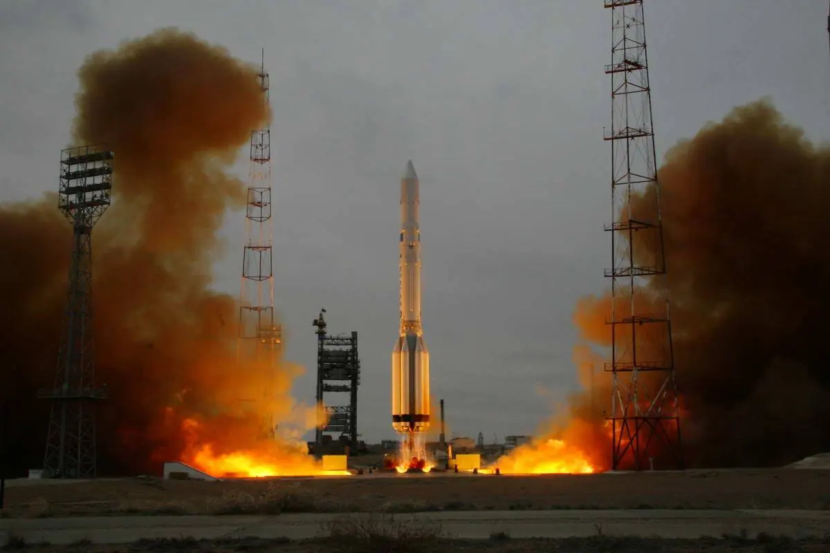
Proton-K/17S40 | Iridium 09 to 14 & Iridium 16
Khrunichev State Research and Production Space CenterLaunch Successful

Iridium 09 to 14 & Iridium 16

Proton-K/17S40

Open watch mode ↗

Historical mission record

This page records Proton-K/17S40 | Iridium 09 to 14 & Iridium 16 and its reported outcome: Launch Successful. The date above is a historical record.

Source record updated . This is a source update, not a confirmed launch time.

Check the source: Launch Library ↗

How to read launch targets and status

Mission status
Launch Successful

Status reported by the mission data provider.

LAUNCH SITEBaikonur Cosmodrome, Republic of Kazakhstan

Mission

Iridium provides global mobile telecommunications services using a constellation of 66 low earth orbit satellites in a 86.4° inclined orbit. Although 77 satellites were originally envisioned for the system and spawned the name based on the 77th element in the periodic table, the system has been scaled back. Motorola's Satellite Communications Group designed and manufactured the Iridium satellites with Lockheed Martin providing the LM-700A spacecraft buses.

Launch vehicle
Proton-K/17S40
Mission type
Communications
Destination orbit
Low Earth Orbit
Launch pad
81/23 (81L)
Provider
Khrunichev State Research and Production Space Center
Programs
Iridium Constellation

The vehicle

Published configuration and flight history.

Proton-K/17S40
Launch vehicle

Proton-K/17S40

The Proton-K was a Russian, previously Soviet, carrier rocket derived from the earlier Proton. It was built by Khrunichev, and launched from sites 81 and 200 at the Baikonur Cosmodrome in Kazakhstan.

Height
59 m
Diameter
4.15 m
Stages
4
Recorded launches
6
First flight
1997-06-06

Recorded timing

This is a mission record, not an upcoming calendar appointment.

Instantaneous windowPublished target
SCHEDULED MOMENT

A single scheduled moment. The schedule may change before launch.

Launch site & orbit

Baikonur Cosmodrome, Republic of Kazakhstan

The mission in perspective

Launch site & orbit

Explore the launch pad, then pull back to see the shape of the destination orbit.

Understand this orbit
NASA Blue Marble map of Earth's continents and oceans
Representative orbit · accelerated illustrationNo live tracking or simulated ascent. NASA Blue Marble.

Coverage & sources

Links supplied by the mission data provider.
Coverage and times may change.

Mission coverage

No viewing link has been published yet.

Further reading

Launch Library ↗

Explore on iPhone

Browse mission details and discover upcoming launches in Spacian.

Open mission in Spacian ↗
Download on the App Store
