
Saved Download on the App Store
← Back to launches
Delta II | Landsat 7
United States Air ForceLaunch Successful

Landsat 7

Delta II 7920-10

Open watch mode ↗

Historical mission record

This page records Delta II | Landsat 7 and its reported outcome: Launch Successful. The date above is a historical record.

Source record updated . This is a source update, not a confirmed launch time.

Check the source: Launch Library ↗

How to read launch targets and status

Mission status
Launch Successful

Status reported by the mission data provider.

LAUNCH SITEVandenberg SFB, CA, USA

Mission

Landsat 7 continued the long-term Earth observation Landsat program begun in 1972. Landsat 7 was a joint project between NASA, NOAA, and the US Geological Survey to obtain continuous high-resolution imagary of the earth's surface for environmental monitoring, disaster assessment, land use and regional planning, cartography, range management, oil and mineral exploration.

Launch vehicle
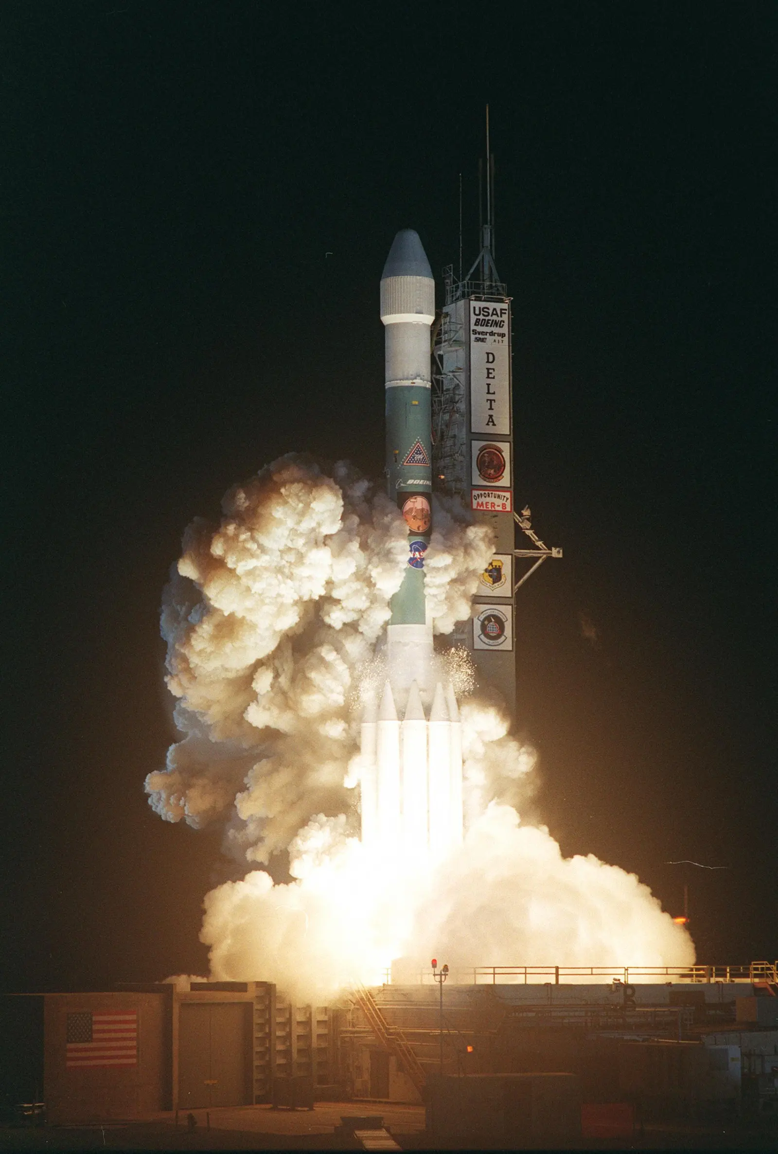
Delta II 7920-10
Mission type
Earth Science
Destination orbit
Low Earth Orbit
Launch pad
Space Launch Complex 2W
Provider
United States Air Force
Programs
Landsat

The vehicle

Published configuration and flight history.

Delta II 7920-10
Launch vehicle

Delta II 7920-10

Delta II is an American space launch system developed by McDonnell Douglas, now part of the Delta rocket family operated by United Launch Alliance. With more than 150 missions and a nearly perfect track record, Delta II has established itself as one of the most successful orbital launch systems.

Height
38.7 m
Diameter
2.4 m
Stages
2
Recorded launches
9
First flight
1995-11-04

Recorded timing

This is a mission record, not an upcoming calendar appointment.

Instantaneous windowPublished target
SCHEDULED MOMENT

A single scheduled moment. The schedule may change before launch.

Launch site & orbit

Vandenberg SFB, CA, USA

The mission in perspective

Launch site & orbit

Explore the launch pad, then pull back to see the shape of the destination orbit.

Understand this orbit
NASA Blue Marble map of Earth's continents and oceans
Representative orbit · accelerated illustrationNo live tracking or simulated ascent. NASA Blue Marble.

Coverage & sources

Links supplied by the mission data provider.
Coverage and times may change.

Mission coverage

No viewing link has been published yet.

Further reading

Launch Library ↗

Explore on iPhone

Browse mission details and discover upcoming launches in Spacian.

Open mission in Spacian ↗
Download on the App Store
