
Saved Download on the App Store
← Back to launches
Ariane 5 ECA | DSN 1 & HYLAS 4
ArianespaceLaunch Successful

DSN 1 & HYLAS 4

Ariane 5 ECA

Historical mission record

This page records Ariane 5 ECA | DSN 1 & HYLAS 4 and its reported outcome: Launch Successful. The date above is a historical record.

Source record updated . This is a source update, not a confirmed launch time.

Check the source: Launch Library ↗

How to read launch targets and status

Mission status
Launch Successful

Status reported by the mission data provider.

LAUNCH SITEGuiana Space Centre, French Guiana

Mission

DSN-1 (also known as Kirameki 1, Superbird 8 or Superbird B3) is Japanese X-band military communications satellite. It was planned to be launched in 2016, however the satellite was damaged during transport to the launch site and repairs delayed the launch. The satellite is to replace aging Superbird-B2 satellite at 162° East in geostationary orbit. HYLAS 4 is a communications satellite build by Orbital ATK for Avanti Communication. It features hybrid propulsion system, with traditional chemical thrusters for orbit raising and ion engines for stationkeeping. The satellite carries 66 high-throughput Ka-band beams and will provide services to regions of Africa and Europe.

Launch vehicle
Ariane 5 ECA
Mission type
Communications
Destination orbit
Geostationary Transfer Orbit
Launch pad
Ariane Launch Area 3
Provider
Arianespace

The vehicle

Published configuration and flight history.

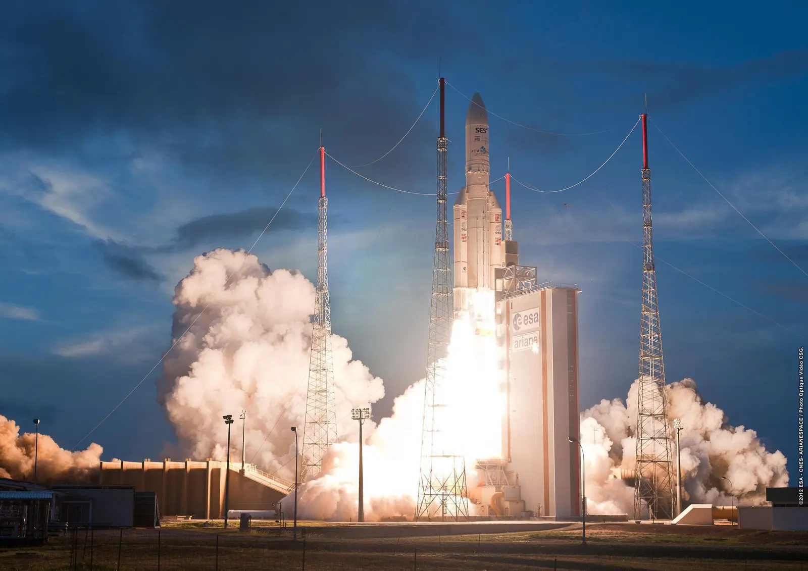
Ariane 5 ECA
ESA/CNES/Arianespace/Optique vidéo du CSG
Launch vehicle

Ariane 5 ECA

Ariane 5 is a heavy-lift launch vehicle, part of the Ariane rocket family.

Height
57.7 m
Diameter
5.4 m
Stages
2
Recorded launches
73
First flight
2002-12-11

Recorded timing

This is a mission record, not an upcoming calendar appointment.

Instantaneous windowPublished target
SCHEDULED MOMENT

A single scheduled moment. The schedule may change before launch.

Launch site & orbit

Guiana Space Centre, French Guiana

The mission in perspective

Launch site & orbit

Explore the launch pad, then pull back to see the shape of the destination orbit.

Understand this orbit
NASA Blue Marble map of Earth's continents and oceans
Representative orbit · accelerated illustrationNo live tracking or simulated ascent. NASA Blue Marble.

Coverage & sources

Links supplied by the mission data provider.
Coverage and times may change.

Explore on iPhone

Browse mission details and discover upcoming launches in Spacian.

Open mission in Spacian ↗
Download on the App Store
