← Back to launches
Atlas V 421 | WGS-2
United Launch AllianceLaunch Successful

WGS-2

Atlas V 421

Open watch mode ↗

Historical mission record

This page records Atlas V 421 | WGS-2 and its reported outcome: Launch Successful. The date above is a historical record.

Source record updated . This is a source update, not a confirmed launch time.

Check the source: Wideband Global SATCOM - Wikipedia ↗ · Launch Library ↗

How to read launch targets and status

Mission status
Launch Successful

Status reported by the mission data provider.

LAUNCH SITECape Canaveral SFS, FL, USA

Mission

The Wideband Global SATCOM system (WGS) is a high capacity satellite communications system for use by US DoD and Australian Department of Defence. Providing communications for warfighters.

Launch vehicle
Atlas V 421
Mission type
Communications
Destination orbit
Geostationary Transfer Orbit
Launch pad
Space Launch Complex 41
Provider
United Launch Alliance

The vehicle

Published configuration and flight history.

Atlas V 421
Launch vehicle

Atlas V 421

Atlas V is an expendable launch system in the Atlas rocket family. It was formerly operated by Lockheed Martin and is now operated by United Launch Alliance (ULA), a joint venture with Boeing. Each Atlas V rocket uses a Russian-built RD-180 engine burning kerosene and liquid oxygen to power its first stage and an American-built RL10 engine burning liquid hydrogen and liquid oxygen to power its Centaur upper stage. The RD-180 engines are provided by RD Amross, while Aerojet Rocketdyne provides both the RL10 engines and the strap-on boosters used in some configurations. The 421 version uses a 4m wide fairing, 2 solid rocket boosters and one engine on the Centaur stage.

Height
58.3 m
Diameter
3.8 m
Stages
2
Recorded launches
9
First flight
2007-10-11

Recorded timing

This is a mission record, not an upcoming calendar appointment.

Instantaneous windowPublished target
SCHEDULED MOMENT

A single scheduled moment. The schedule may change before launch.

Launch site & orbit

Cape Canaveral SFS, FL, USA

The mission in perspective

Launch site & orbit

Explore the launch pad, then pull back to see the shape of the destination orbit.

Understand this orbit
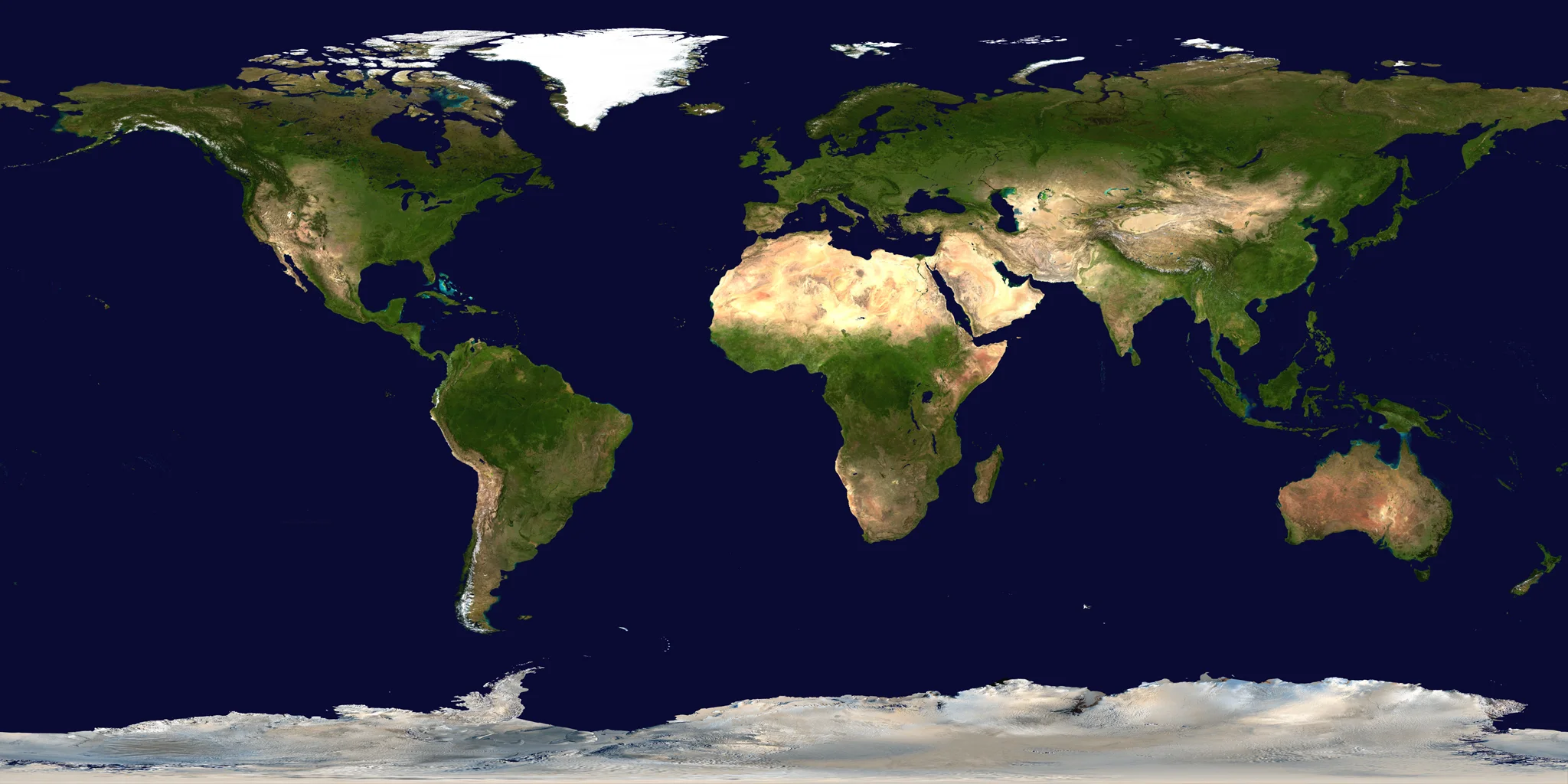
NASA Blue Marble map of Earth's continents and oceans
Representative orbit · accelerated illustrationNo live tracking or simulated ascent. NASA Blue Marble.

Coverage & sources

Links supplied by the mission data provider.
Coverage and times may change.

Mission coverage

No viewing link has been published yet.

Explore on iPhone

Browse mission details and discover upcoming launches in Spacian.

Open mission in Spacian ↗
Download on the App Store