Launch vehicle
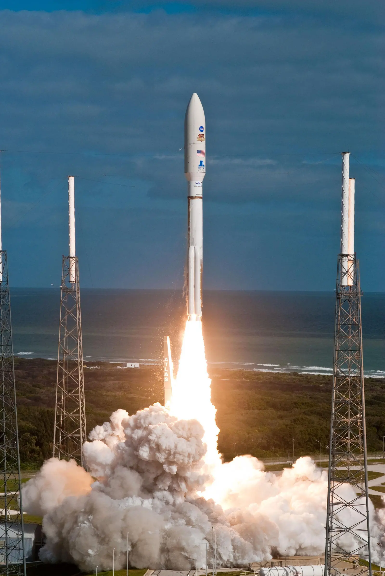
Atlas V 541
Atlas V with 5m Fairing, 4 SRB, 1 Centaur upper stage engine.
- Height
- 60 m
- Diameter
- 3.8 m
- Stages
- 2
- Recorded launches
- 9
- First flight
- 2011-11-26
 Saved 0

This page records Atlas V 541 | GOES-S and its reported outcome: Launch Successful. The date above is a historical record.
Source record updated . This is a source update, not a confirmed launch time.
Check the source: Launch Library ↗
Status reported by the mission data provider.
The Geostationary Operational Environmental Satellite-S Series (GOES-S) is the second of the next generation of geostationary weather satellites. The four satellites of the series will provide advanced imaging with increased spatial resolution and faster coverage for more accurate forecasts, real-time mapping of lightning activity, and improved monitoring of solar activity. GOES-S will provide continuous imagery and atmospheric measurements of the Western Hemisphere. GOES-S will be the primary tool for the detection and tracking of hurricanes and severe weather. Once operational as GOES-17, the satellite wil replace GOES-15 satellite.
Published configuration and flight history.
Atlas V with 5m Fairing, 4 SRB, 1 Centaur upper stage engine.
This is a mission record, not an upcoming calendar appointment.
Target ·
The target marker shows its position within the published window. The schedule may change before launch.
Cape Canaveral SFS, FL, USA
Explore the launch pad, then pull back to see the shape of the destination orbit.
Understand this orbit
Links supplied by the mission data provider.
Coverage and times may change.
Browse mission details and discover upcoming launches in Spacian.
Open mission in Spacian ↗