
← Back to launches
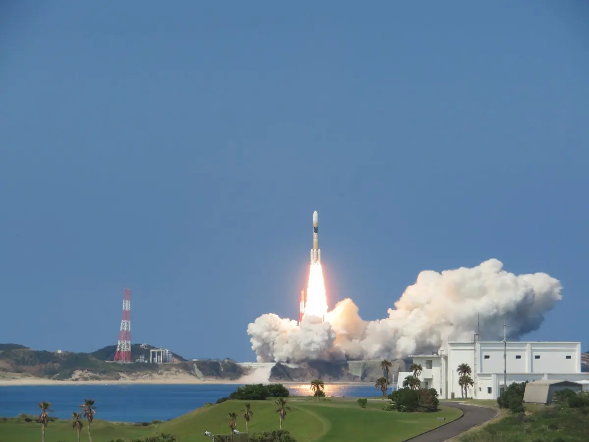
H-IIA 204 | Michibiki 3 (QZS-3)
Mitsubishi Heavy IndustriesLaunch Successful

Michibiki 3 (QZS-3)

H-IIA 204

Historical mission record

This page records H-IIA 204 | Michibiki 3 (QZS-3) and its reported outcome: Launch Successful. The date above is a historical record.

Source record updated . This is a source update, not a confirmed launch time.

Check the source: Launch Library ↗

How to read launch targets and status

Mission status
Launch Successful

Status reported by the mission data provider.

LAUNCH SITETanegashima Space Center, Japan

Mission

The Quasi-Zenith Satellite System (QZSS) is a three-satellite regional time transfer system and the satellite-based augmentation system for the GPS that would be receivable within Japan. The primary purpose of QZSS is to increase the availability of GPS in Japan's numerous urban canyons, where only satellites at very high elevation can be seen. A secondary function is performance enhancement, increasing the accuracy and reliability of GPS derived navigation solutions. A single satellite weighs about 4000 kg, has an expected lifetime of 15 years and is put in a elliptical, highly inclined geosynchronous orbit.

Launch vehicle
H-IIA 204
Mission type
Navigation
Destination orbit
Geostationary Transfer Orbit
Launch pad
Yoshinobu Launch Complex LP-1
Provider
Mitsubishi Heavy Industries

The vehicle

Published configuration and flight history.

H-IIA 204
JAXA
Launch vehicle

H-IIA 204

H-IIA (H2A) was an expendable launch system operated by Mitsubishi Heavy Industries (MHI) for the Japan Aerospace Exploration Agency. The liquid-fueled H-IIA rockets have been used to launch satellites into geostationary orbit, to launch a lunar orbiting spacecraft, and to launch Akatsuki, which studied the planet Venus. Launches occur at the Tanegashima Space Center.

Height
53 m
Diameter
4 m
Stages
2
Recorded launches
5
First flight
2006-12-18

Recorded timing

This is a mission record, not an upcoming calendar appointment.

7h 47m windowPublished target
WINDOW OPENS
WINDOW CLOSES

Target ·

The target marker shows its position within the published window. The schedule may change before launch.

Launch site & orbit

Tanegashima Space Center, Japan

The mission in perspective

Launch site & orbit

Explore the launch pad, then pull back to see the shape of the destination orbit.

Understand this orbit
NASA Blue Marble map of Earth's continents and oceans
Representative orbit · accelerated illustrationNo live tracking or simulated ascent. NASA Blue Marble.

Coverage & sources

Links supplied by the mission data provider.
Coverage and times may change.

Explore on iPhone

Browse mission details and discover upcoming launches in Spacian.

Open mission in Spacian ↗
Download on the App Store
