
Successful launch of Landsat 9.
Update ↗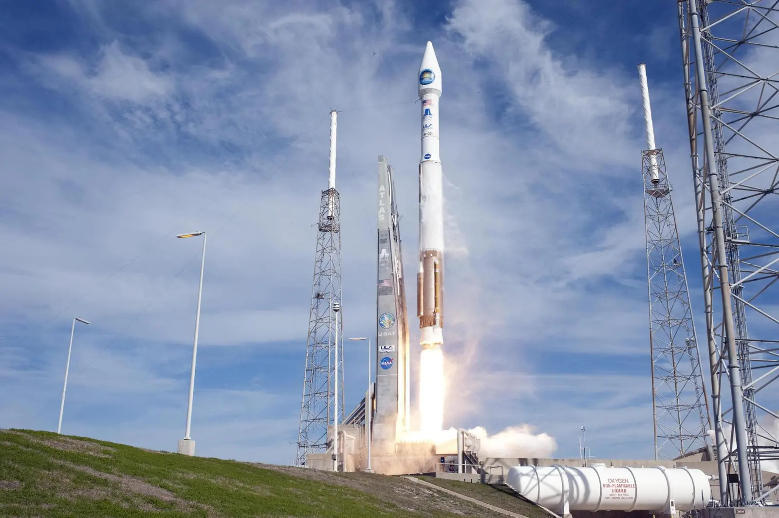
United Launch AllianceLaunch Successful
Landsat 9
Atlas V 401
Historical mission record
This page records Atlas V 401 | Landsat 9 and its reported outcome: Launch Successful. The date above is a historical record.
Source record updated . This is a source update, not a confirmed launch time.
Check the source: Launch Library ↗
The latest on this mission
What changed?
Mission status
Launch Successful
Status reported by the mission data provider.
LAUNCH SITEVandenberg SFB, CA, USA
Mission
Landsat 9 is a partnership between NASA and the U.S. Geological Survey to continue the Landsat program's critical role in monitoring, understanding and managing the land resources needed to sustain human life. Landsat 9, like Landsat 8, has a higher imaging capacity than past Landsats, allowing more valuable data to be added to the Landsat global land archive. Its operational orbit is a sun-synchronous orbit at an altitude of 705 km for a mission lifetime of at least 5 years.
- Launch vehicle
- Atlas V 401
- Mission type
- Earth Science
- Destination orbit
- Sun-Synchronous Orbit
- Launch pad
- Space Launch Complex 3E
- Provider
- United Launch Alliance
- Programs
- Landsat
The vehicle
Published configuration and flight history.
Launch vehicle
Atlas V 401
An Atlas V with a 4 meter diameter fairing, no boosters and a single centaur upper stage engine.
- Height
- 58.3 m
- Diameter
- 3.8 m
- Stages
- 2
- Recorded launches
- 41
- First flight
- 2002-08-21
Recorded timing
This is a mission record, not an upcoming calendar appointment.
30 minute windowPublished target
WINDOW OPENS
WINDOW CLOSES
Target ·
The target marker shows its position within the published window. The schedule may change before launch.
Launch site & orbit
Vandenberg SFB, CA, USA
The mission in perspective
Launch site & orbit
Explore the launch pad, then pull back to see the shape of the destination orbit.
Understand this orbit
Coverage & sources
Links supplied by the mission data provider.
Coverage and times may change.
Explore on iPhone
Browse mission details and discover upcoming launches in Spacian.
Open mission in Spacian ↗