

Recorded mission
Watch
Japan Aerospace Exploration Agency
H-IIA 2022 | Daichi
Coverage link pending
Recorded mission coverage
A coverage link has not been published yet. Mission status and timing remain available here.
Playing a video connects to YouTube. Coverage may be scheduled, live or recorded. If a player is unavailable, use “Open source”.
Mission brief
The flight at a glance.
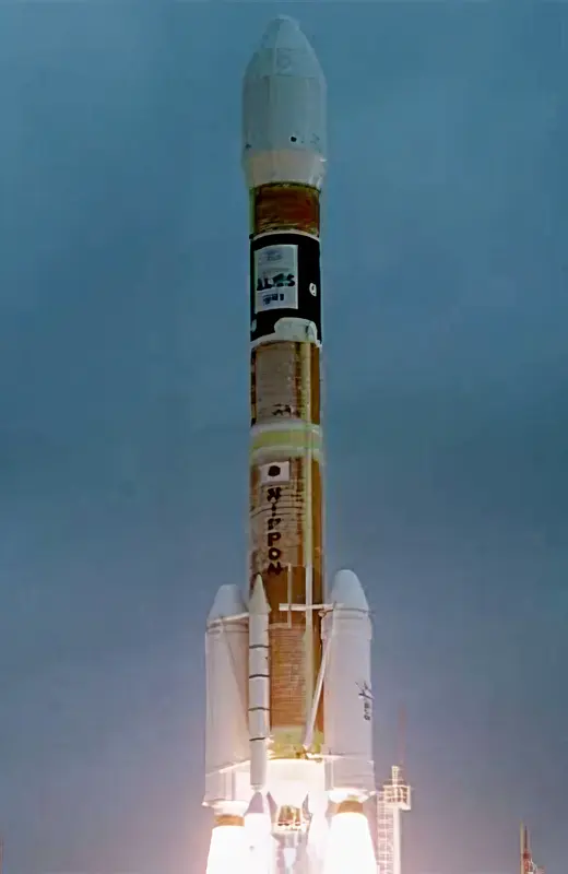
ALOS (Advanced Land Observation Satellite) is used for cartography, regional observation, disaster monitoring, and resource surveying. ALOS has three remote-sensing instruments: - the Panchromatic Remote-sensing Instrument for Stereo Mapping (PRISM) for digital elevation mapping with 2.5 meter resolution, - the Advanced Visible and Near Infrared Radiometer type 2 (AVNIR-2) for precise land coverage observation with 10 meter resolution, and - the Phased Array type L-band Synthetic Aperture Radar (PALSAR) for day-and-night and all-weather land observation. ALOS transmitts its data via the DRTS (Kodama) satellite. The ALOS was launched by an H-2A-2022 launch vehicle from the Tanegashima Space Center. ALOS as been given the nickname Daichi. Five minutes after spacecraft separation, ALOS began to unfurl its 72-foot solar array that will provide electrical power to the craft throughout its mission. Six cameras are on-board to visually verify the correct deployment of the solar panel and various instrument antennas. ALOS lost all power on 22. April 2011, thus ending the mission.
Open the full mission →Published flight sequence
Know what comes next.
Planned timings relative to the target. These steps do not indicate live progress.
A flight sequence has not been published for this mission.