

Recorded mission
Watch
China Aerospace Science and Technology Corporation
Long March 4B | Terrestrial Ecosystem Carbon Inventory Satellite (TECIS)
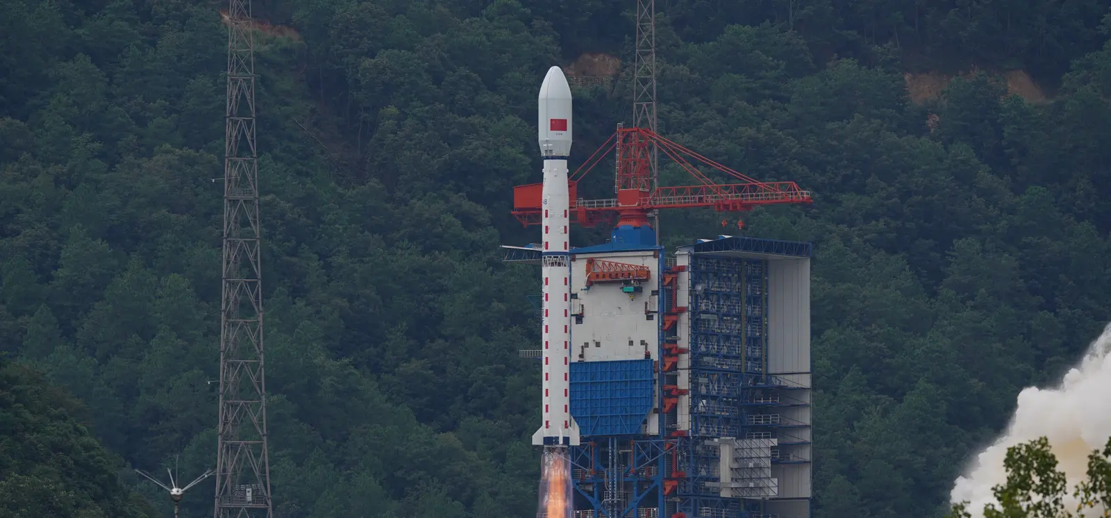
Coverage link pending
Recorded mission coverage
A coverage link has not been published yet. Mission status and timing remain available here.
Playing a video connects to YouTube. Coverage may be scheduled, live or recorded. If a player is unavailable, use “Open source”.
Mission brief
The mission at a glance.
Note: Launch vehicle and payload uncertain. The Terrestrial Ecosystem Carbon Monitoring Satellite (TECIS) is intended to evaluate forest biomass, measure atmospheric aerosol content, and detect photosynthetic fluorescence. These measurements will contribute to efforts to combat global warming. The satellite carries 4 instruments: Multi-Beam LIDAR, Directional Multi-Spectral Camera, Directional Polarization Camera, and Chlorophyll Fluorescence Hyper-Spectral Monitor (SIFIS) The satellite will operate in a sun-synchronous orbit at a height of 506 km, at 10:30 AM local time in the descending mode, with a designed lifetime of 8 years.
Open the full mission →Published flight sequence
Know what comes next.
Planned timings relative to the target. These steps do not indicate live progress.
A flight sequence has not been published for this mission.