
Saved Download on the App Store
← Back to launches
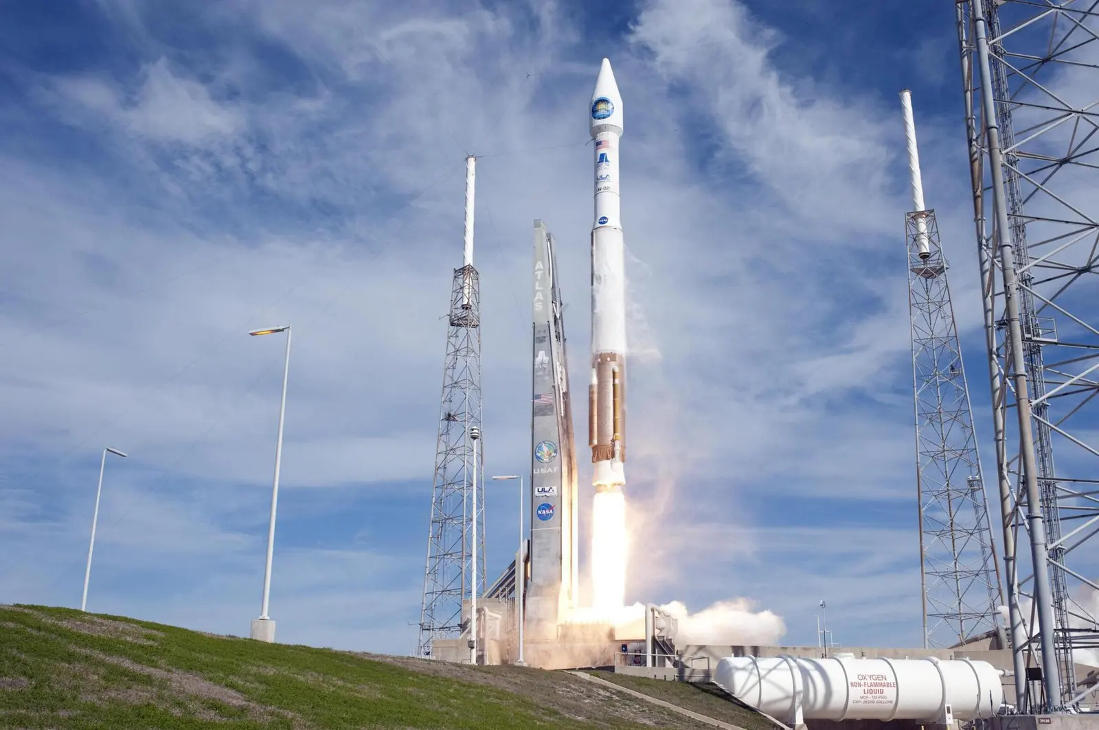
Atlas V 401 | Landsat 8 (DCM)
United Launch AllianceLaunch Successful

Landsat 8 (DCM)

Atlas V 401

Historical mission record

This page records Atlas V 401 | Landsat 8 (DCM) and its reported outcome: Launch Successful. The date above is a historical record.

Source record updated . This is a source update, not a confirmed launch time.

Check the source: Launch Library ↗

How to read launch targets and status

Mission status
Launch Successful

Status reported by the mission data provider.

LAUNCH SITEVandenberg SFB, CA, USA

Mission

Landsat 8 is an American Earth observation satellite launched on 11 February 2013. It is the eighth satellite in the Landsat program; the seventh to reach orbit successfully. Originally called the Landsat Data Continuity Mission (LDCM), it is a collaboration between NASA and the United States Geological Survey (USGS). NASA Goddard Space Flight Center in Greenbelt, Maryland, provided development, mission systems engineering, and acquisition of the launch vehicle while the USGS provided for development of the ground systems and will conduct on-going mission operations. It comprises the camera of the Operational Land Imager (OLI) and the Thermal Infrared Sensor (TIRS), which can be used to study Earth surface temperature and is used to study global warming.

Launch vehicle
Atlas V 401
Mission type
Earth Science
Destination orbit
Sun-Synchronous Orbit
Launch pad
Space Launch Complex 3E
Provider
United Launch Alliance
Programs
Landsat

The vehicle

Published configuration and flight history.

Atlas V 401
Launch vehicle

Atlas V 401

An Atlas V with a 4 meter diameter fairing, no boosters and a single centaur upper stage engine.

Height
58.3 m
Diameter
3.8 m
Stages
2
Recorded launches
41
First flight
2002-08-21

Recorded timing

This is a mission record, not an upcoming calendar appointment.

Instantaneous windowPublished target
SCHEDULED MOMENT

A single scheduled moment. The schedule may change before launch.

Launch site & orbit

Vandenberg SFB, CA, USA

The mission in perspective

Launch site & orbit

Explore the launch pad, then pull back to see the shape of the destination orbit.

Understand this orbit
NASA Blue Marble map of Earth's continents and oceans
Representative orbit · accelerated illustrationNo live tracking or simulated ascent. NASA Blue Marble.

Coverage & sources

Links supplied by the mission data provider.
Coverage and times may change.

Explore on iPhone

Browse mission details and discover upcoming launches in Spacian.

Open mission in Spacian ↗
Download on the App Store
