

Recorded mission
Watch
United Launch Alliance
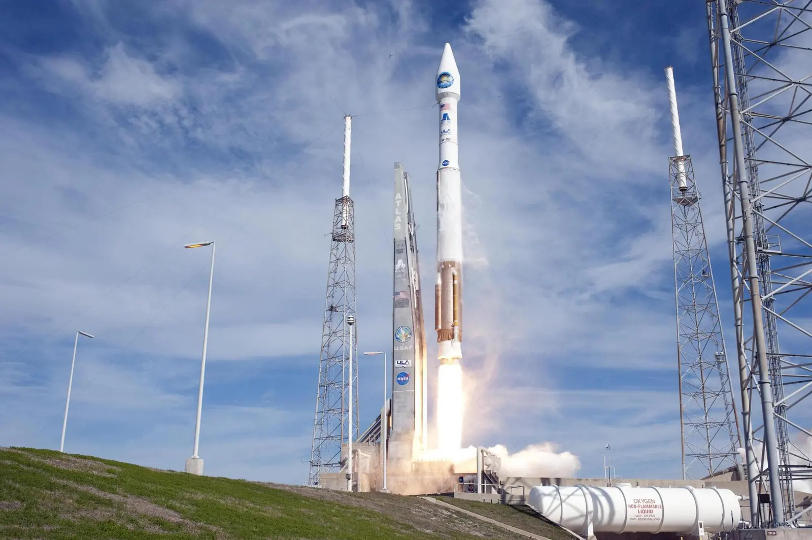
Atlas V 401 | Landsat 8 (DCM)
Recorded mission coverage
Playing a video connects to YouTube. Coverage may be scheduled, live or recorded. If a player is unavailable, use “Open source”.
Mission brief
The flight at a glance.
Landsat 8 is an American Earth observation satellite launched on 11 February 2013. It is the eighth satellite in the Landsat program; the seventh to reach orbit successfully. Originally called the Landsat Data Continuity Mission (LDCM), it is a collaboration between NASA and the United States Geological Survey (USGS). NASA Goddard Space Flight Center in Greenbelt, Maryland, provided development, mission systems engineering, and acquisition of the launch vehicle while the USGS provided for development of the ground systems and will conduct on-going mission operations. It comprises the camera of the Operational Land Imager (OLI) and the Thermal Infrared Sensor (TIRS), which can be used to study Earth surface temperature and is used to study global warming.
Open the full mission →Published flight sequence
Know what comes next.
Planned timings relative to the target. These steps do not indicate live progress.
A flight sequence has not been published for this mission.