

Recorded mission
Watch
Indian Space Research Organization
GSLV Mk II | NISAR (NASA-ISRO Synthetic Aperture Radar)
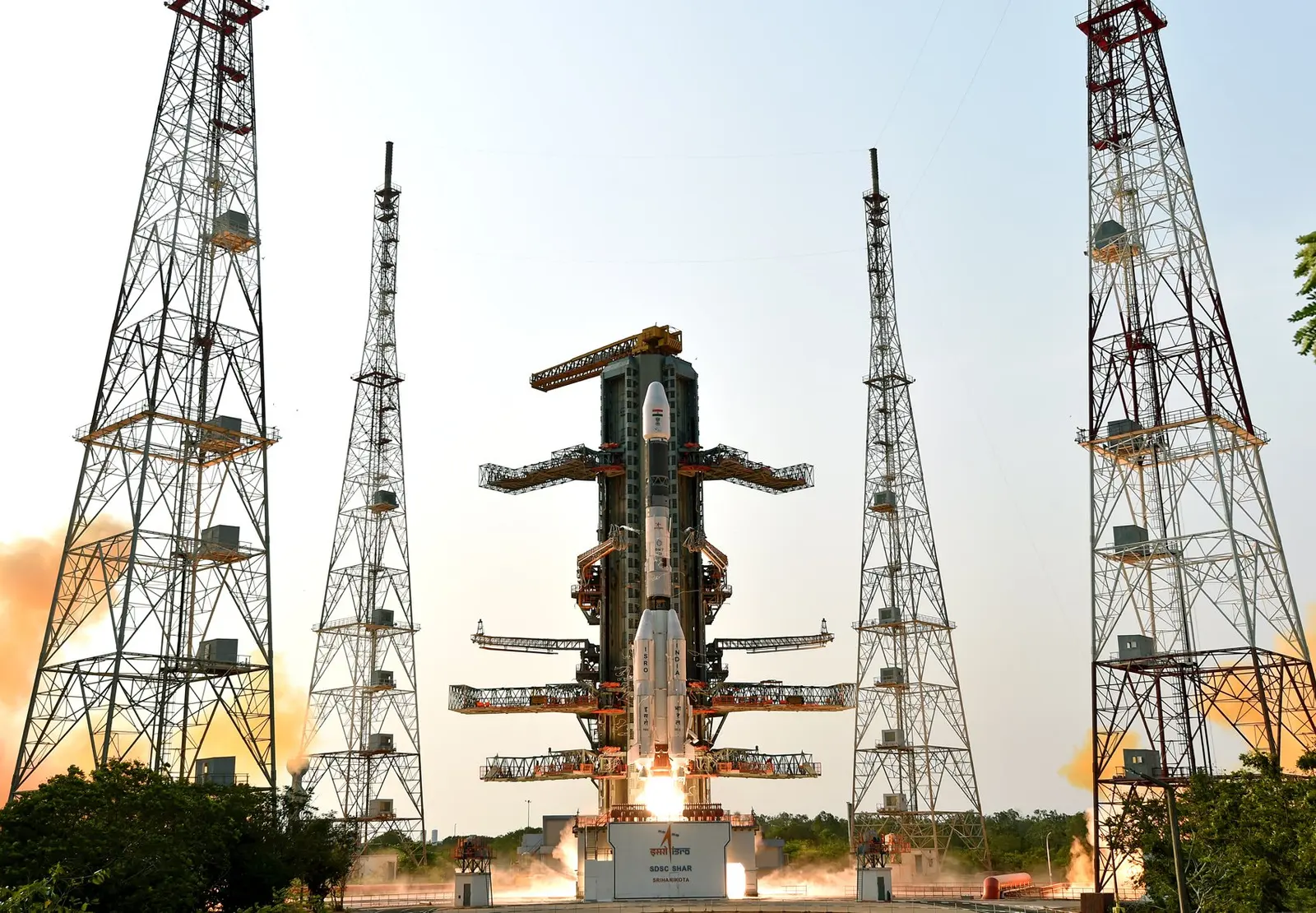
Recorded mission coverage
Playing a video connects to YouTube. Coverage may be scheduled, live or recorded. If a player is unavailable, use “Open source”.
Mission brief
The flight at a glance.
The NASA-ISRO Synthetic Aperture Radar, or NISAR satellite, will use advanced radar imaging to map the elevation of Earth's land and ice masses 4 to 6 times a month at resolutions of 5 to 10 meters. It is designed to observe and measure some of the planet's most complex natural processes, including ecosystem disturbances, ice-sheet collapse, and natural hazards such as earthquakes, tsunamis, volcanoes and landslides. Under the terms of the agreement, NASA will provide the mission's L band synthetic aperture radar (SAR), a high-rate telecommunication subsystem for scientific data, GPS receivers, a solid-state recorder, and a payload data subsystem. ISRO will provide the satellite bus, an S band synthetic aperture radar, the launch vehicle, and associated launch services.
Open the full mission →Published flight sequence
Know what comes next.
Planned timings relative to the target. These steps do not indicate live progress.
- T−00:00:05
Ignition
- T+00:00:00
Liftoff
- T+00:02:29
MECO
- T+00:02:30
SES
- T+00:02:31
Stage 2 Separation
- T+00:02:51
Fairing Separation
See all 11 published steps ↓
- T+00:04:50
SECO
- T+00:04:53
Stage 3 Separation
- T+00:04:54
Stage 3 Ignition
- T+00:18:21
Stage 3 Cutoff
- T+00:18:36
Payload Separation