

How a satellite measures the height of the ocean
Sentinel-6 Michael Freilich carries a radar altimeter that times echoes from the ocean. The mission’s launch record leads to a deceptively simple question: how can a spacecraft moving hundreds of kilometres above Earth measure changes in sea level?
Time the return journey
The altimeter sends radio pulses toward the ocean. A pulse travels to the water and back, so its round-trip time can be converted into distance using the speed of light and a factor of one half. If the sea surface rises beneath a spacecraft at the same altitude, the echo returns sooner. [1] [2]
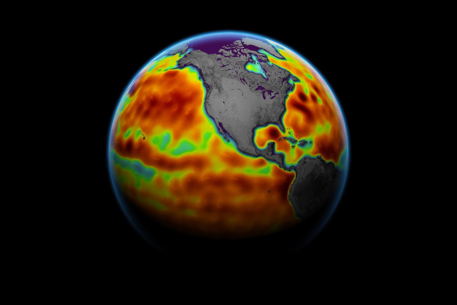
Real echoes come from a rough surface, not one flat mirror. The shape of the returning waveform contains information about wave height as well as range. Many measurements are combined to estimate the surface beneath the spacecraft. The instrument does not photograph a coloured contour map of the ocean; that map is built from the measurements. [1] [2]
Know where the spacecraft is
Range alone measures the gap between the satellite and the water. To turn it into a sea-surface height, scientists must also know the satellite’s position relative to an Earth reference surface. Sentinel-6 uses a precise-orbit determination package, including navigation signals, ground-based radio tracking and laser ranging. [2]
An orbit error can masquerade as an ocean change. The measurement therefore depends on the instrument and its reference frame together. Combining independent tracking methods helps identify biases and maintain the stability required for a long record. A high-resolution radar is useful only if the spacecraft’s position is comparably well understood. [2]
Correct the atmosphere in the path
Radio signals do not cross the atmosphere exactly as they cross vacuum. Water vapour changes their propagation time. An onboard microwave radiometer estimates that contribution, while the radar’s multiple frequencies help correct the ionosphere’s influence. Tides and other known effects must also be treated consistently when comparing measurements. [2] [3]
These corrections explain why a sea-level product is more than a simple distance conversion. Each processing step accounts for a physical effect that could otherwise look like a change in the ocean. Its uncertainty comes from the combined measurement system, including the orbit, the atmosphere and the surface echo. [2] [3]
A climate record needs continuity
Sentinel-6 continues a series of ocean-altimetry missions rather than starting an isolated measurement. Overlap between satellites allows their readings to be compared and calibrated. Repeated orbital tracks then supply a consistent basis for measuring changes through time, with tide gauges adding valuable coastal observations. [3] [1]
Global mean sea level and local sea level answer different questions. Ocean circulation, winds, gravity and land motion all affect what happens at a particular coast. The map here shows regional sea-surface height anomalies measured in June 2021. Comparing it with observations from other periods reveals changes in ocean circulation as well as the longer trend. [3] [1]
Sources & image credits
Related reading and objects
Reading Earth’s magnetic field from orbit
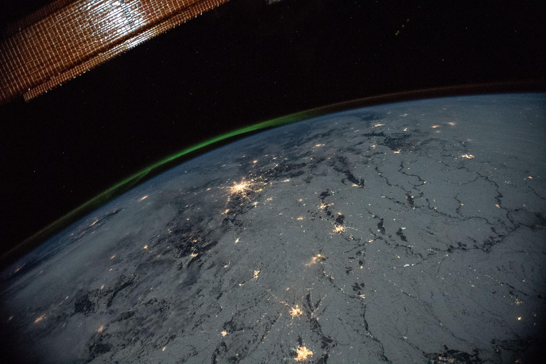
ESA launched three Swarm satellites to measure a field made mostly thousands of kilometres beneath our feet. Their instruments also detect magnetised rocks, currents in space and even moving seawater. To understand Earth’s magnetic field, they must separate those signals.
How a Blue Marble is built
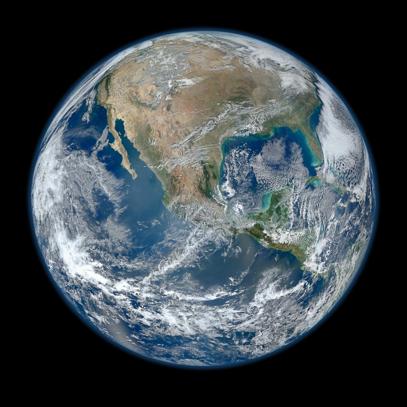
Suomi NPP’s VIIRS instrument supplied the observations used for the 2012 Blue Marble shown here. The globe is a composite assembled from orbital swaths. Understanding that construction makes it more useful as evidence—and explains why it is different from one distant snapshot.