

How did Miranda acquire such broken terrain?
Voyager 2’s January 1986 flyby revealed sharp boundaries between Miranda’s cratered ground, ridged regions and enormous scarps. A small moon had somehow undergone major deformation. Researchers are still using those few close images to test what could have supplied the heat.
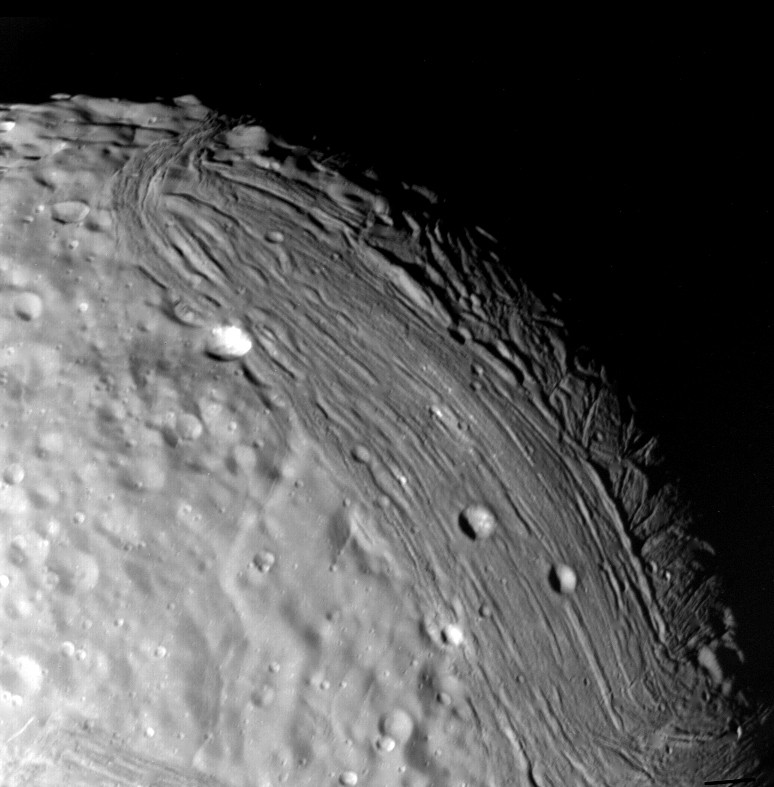
Map what actually crosses the surface
Miranda is only about 470 kilometres across. It is too small for its complicated geology to be explained simply by comparing its size with a large, still-warm planet. Its old formation heat should have been lost relatively efficiently. [1] [2]
Voyager’s best views cover the southern hemisphere. They show large regions called coronae, where ridges and valleys meet surrounding cratered terrain at striking boundaries. Faults and scarps cut the icy ground, preserving evidence that parts of the shell were deformed after older terrain had formed. [1] [2]
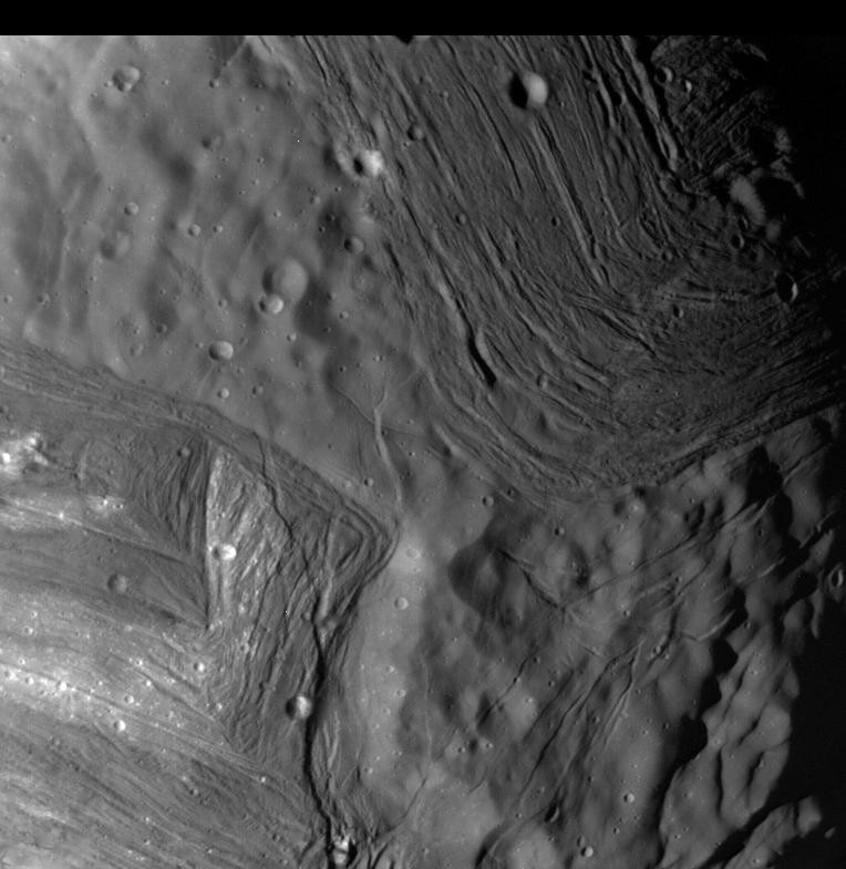
The patchwork appearance once inspired suggestions of catastrophic breakup and reassembly. Appearance alone cannot establish such an event. Any proposed history must reproduce the actual landforms, their relationships and the stresses needed to make them. [1] [2]
Orbital interactions can supply fresh energy
A moon’s tidal forcing changes when its orbit is not perfectly circular. Gravity repeatedly deforms the body, and some of the mechanical energy dissipates as heat. Orbital resonances with neighbouring moons can amplify or sustain that forcing. [2]
The source of warmth is then orbital energy rather than an inexhaustible store left from formation. A small icy moon can become geologically active during a particular episode and cool again when the orbital arrangement changes. [2]
Models of the Uranian system suggest Miranda experienced stronger past tidal interactions. That provides a plausible way to connect its small size with extensive deformation, but it still leaves the question of what internal structure would produce the observed pattern. [2]
Work backwards from cracks to stresses
In a study reported in October 2024, researchers mapped features in the Voyager images and compared them with stresses predicted for different interior structures. The aim was to find configurations capable of producing the visible deformation. [2]
Their best-matching reconstruction contained a substantial ocean beneath a comparatively thin ice shell during an episode hundreds of millions of years ago. Liquid below the shell changes how the exterior responds to tidal forces, influencing where and how it fractures. [2]
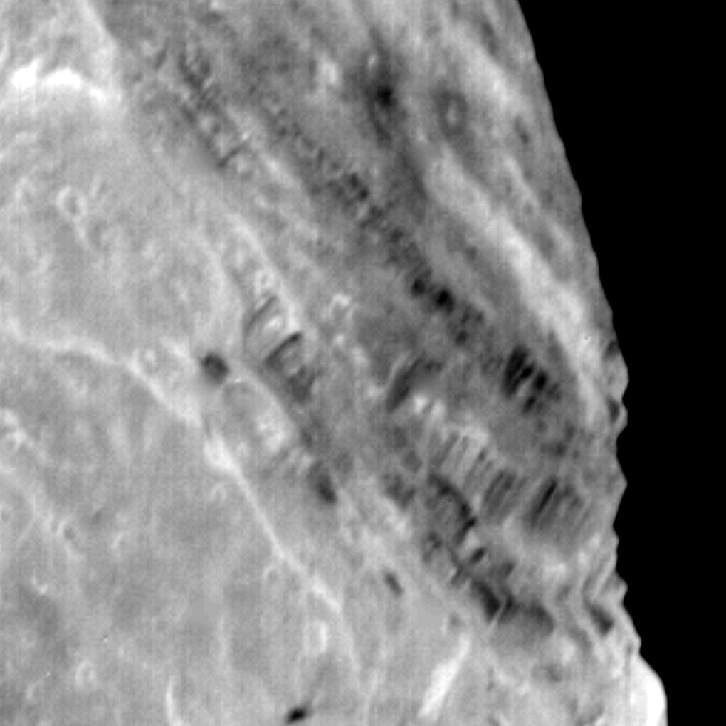
The inferred ancient ocean was a result of the model comparison, rather than a direct detection. Its dimensions and timing depend on the assumed evolution. The method is valuable because it requires an explanation to fit several features together instead of choosing a story for one dramatic cliff. [2]
Could any liquid remain?
The team also considered what should happen as the ocean freezes. Water expands when it turns into ordinary ice, potentially producing a further pattern of surface extension. They did not find the expected evidence for complete freezing in the available terrain. [2]
They therefore suggested that some liquid might survive today, probably in a smaller ocean than the one inferred for the past. That possibility remains unconfirmed. Sparse images cannot substitute for new measurements of the moon’s present interior. [2]
A past ocean and a present ocean are different claims. The terrain can preserve a former thermal episode even if much of the liquid has since frozen, so the two questions need to be tested separately. [2]
The missing hemisphere matters
Voyager 2 remains the only spacecraft to have visited Uranus. Its brief encounter fixed the viewing geometry and left much of Miranda poorly observed. The unseen terrain could add landforms that strengthen, complicate or contradict a reconstruction based on the southern hemisphere. [1] [2] [3]
A return mission could map the whole moon and combine images with measurements sensitive to its interior. Until then, Miranda’s broken terrain is evidence of an active history and a useful test for tidal models. The most interesting possibility—a surviving ocean—still requires a new observation rather than a more confident reading of the same photograph. [1] [2] [3]
Sources & image credits
Related reading and objects

The sideways seasons of Uranus
Voyager 2 saw Uranus with its south polar region facing the Sun in 1986. Decades later, telescopes watch the northern hemisphere approach summer. The difference follows from an almost sideways spin axis and a year longer than a human lifetime.
Why can ancient-looking Mimas hide a young ocean?
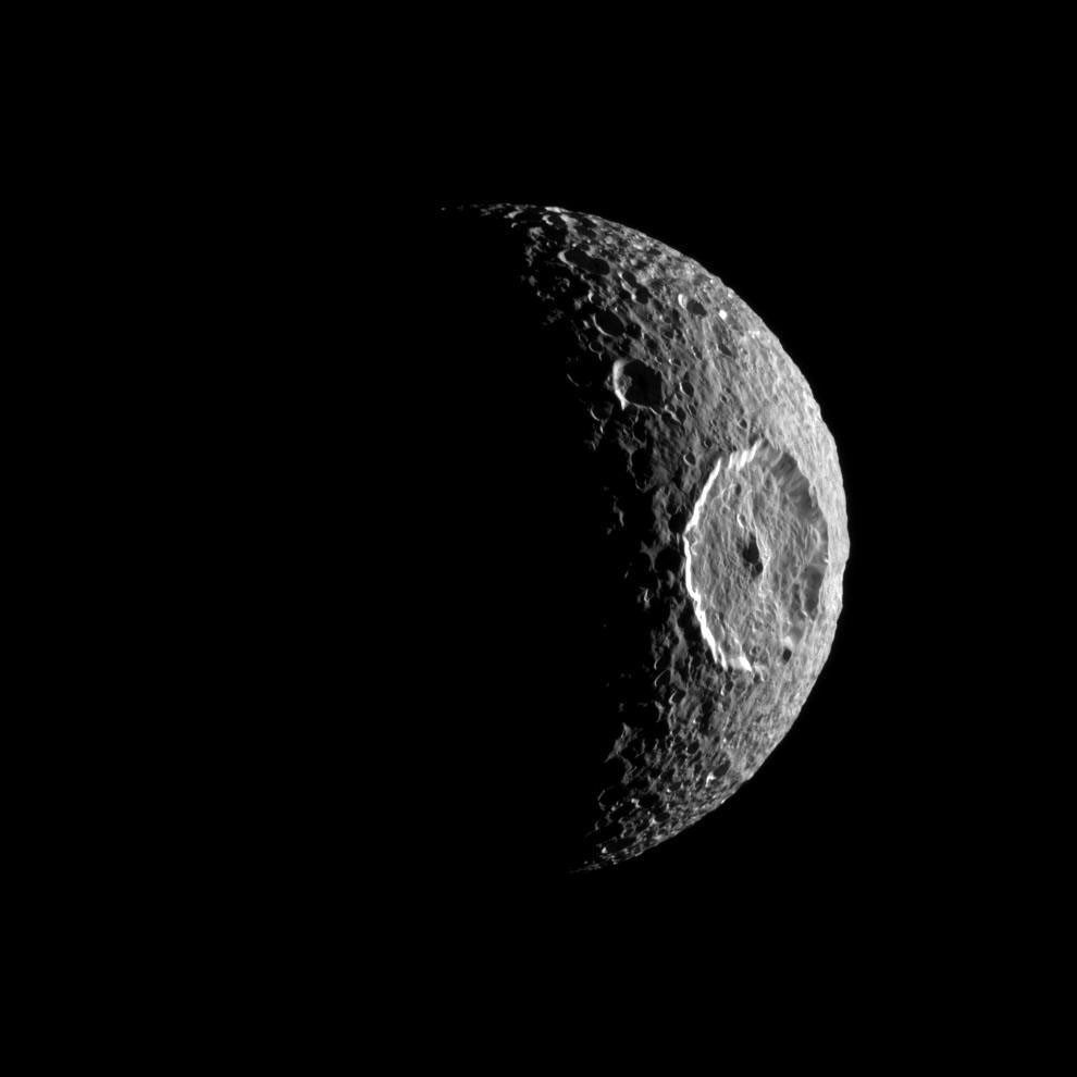
Mimas looks like a frozen, heavily battered moon in Cassini’s photographs. Yet an analysis published in 2024 found that subtle details of its motion were best explained by a global ocean. The apparent contradiction is a question of timing.