

Moon atlas / 02Moon
The far side is sunlit—and out of direct contact
Blue Ghost Mission 2 is planned to carry a lander to the lunar far side alongside communications infrastructure. ESA’s Lunar Pathfinder is planned to travel with the mission in 2027. The destination combines a different geological landscape with a practical difficulty: the Moon itself blocks a direct radio path to Earth.
Turn the globe before comparing the terrain
The near side contains the familiar dark patches seen from Earth. Called maria, or “seas,” these are basaltic plains formed by ancient volcanic eruptions. They are not bodies of water. The far side has much less mare coverage and a larger expanse of bright, cratered highlands. The atlas uses the same source mosaic and colour treatment for both hemispheres, so the comparison does not depend on two differently edited photographs. [1] [2]
The contrast is a geological question, not just a change in brightness. A crust of different thickness, large impact basins and the history of volcanism affect where magma could reach the surface. A whole hemisphere cannot be reduced to a single terrain type: the far side also contains volcanic deposits, including within the enormous South Pole–Aitken basin. [1] [3]
A ridge is enough to block a link; the whole Moon certainly is
Radio communication needs a usable propagation path. A lander on the far side cannot point an ordinary direct-to-Earth antenna through the Moon. A relay spacecraft must have a suitable view of the lander and of Earth, with the geometry and service availability needed to pass data between them. The few seconds of light-travel time are only part of the communications problem. [4]
Lunar Pathfinder is being developed as a shared lunar communications relay. ESA describes it as the first element of its Moonlight service, supporting spacecraft around the Moon and locations with limited or no direct visibility of Earth. That infrastructure lets a small mission use a relay service instead of carrying an entire independent communications system to lunar orbit. Its launch target remains a plan. [4]
Von Kármán and Apollo basin answer different questions
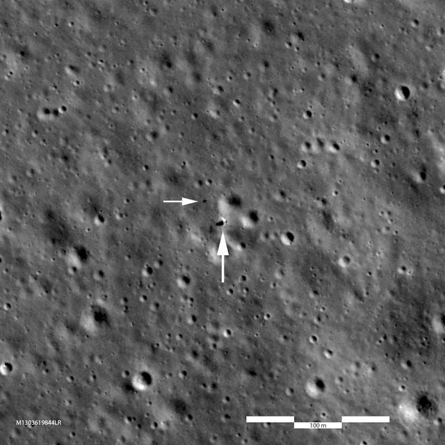
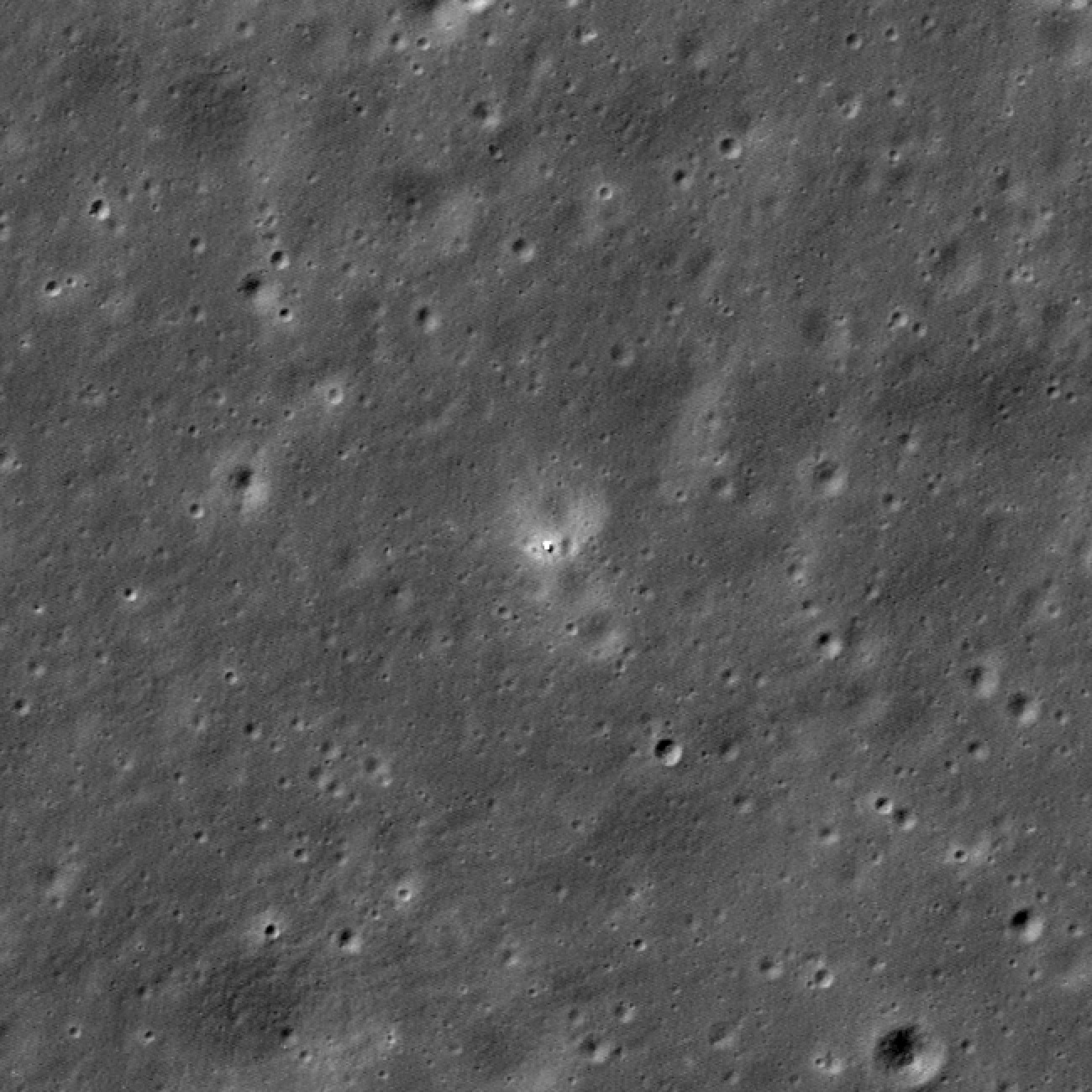
Chang’e 4 achieved the first soft landing on the lunar far side in January 2019, deploying Yutu-2 in Von Kármán crater. Its surface work depended on the Queqiao relay. In the atlas, the pin marks the lander’s published position, not the rover’s present location. The mission record links the launch to its own subsequent events. [5] [6]
Chang’e 6 landed in the Apollo basin in June 2024 and returned the first samples collected from the lunar far side. The Apollo basin is a named lunar impact basin; it is not one of the six crewed Apollo landing sites. Samples from this location allow laboratory measurements of a far-side geological setting that the Apollo astronauts never visited. [3] [5]
A radio-quiet opportunity still needs engineering
The bulk of the Moon can shield a far-side instrument from much of Earth’s radio emission. That makes the location attractive for radio astronomy. But darkness, temperature, power and communication still impose constraints. Shielding from Earth does not remove every local source of interference, particularly when spacecraft electronics and relay transmissions are nearby. [4]
Blue Ghost Mission 2’s published payload plan includes LuSEE-Night, a radio experiment intended to work through the lunar night, and a communications user terminal. The scientific purpose and the supporting link belong together: measurements need to be acquired, stored and eventually delivered. Browse the canonical mission record for the published payload and target rather than treating this explanation as a fixed launch schedule. [4]
Three things the atlas cannot tell you
A bright patch is not a mineral assay. A dark patch is not necessarily a shadow. A visible lander in an archival image is not proof that its instruments are operating today. The surface layer is a colour mosaic; the relief layer encodes elevation. Each helps form questions, but neither replaces spectroscopy, a local image sequence or a current operations report. [2]
Use the region’s photograph, article and mission links together. The first shows an observation, the second explains its significance, and the third preserves the source identity and timeline. This is particularly useful on the far side, where unfamiliar place names can otherwise make very different missions look interchangeable. [5]
Read the evidence
Sources & image credits
- NASA · Formation and interior ↗
- NASA SVS · LROC colour and LOLA elevation maps ↗
- NASA · Chang’e 6 in the Apollo basin ↗
- ESA · Lunar Pathfinder and far-side communications ↗
- NASA · Lunar exploration mission archive ↗
- NASA NSSDC · Spacecraft and impacts on the Moon ↗
Technical explanation by Spacian, reviewed against the linked sources. Photographs retain their original dates, creators and reuse terms in their captions. Original diagrams explain mechanisms and do not reproduce engineering drawings or flight telemetry. Editorial policy and corrections.
Articles
More about the Moon
 Moon
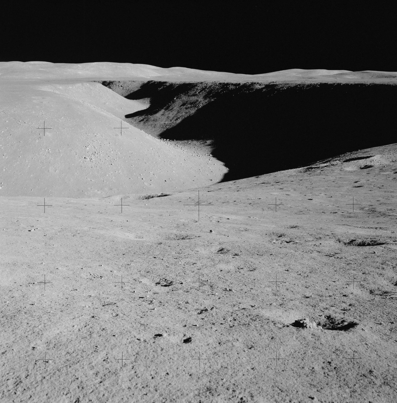
Basalt, highlands and impact rocks
Read the Moon through three rock histories, then connect a sample to its field context and laboratory measurements.
Read the explanation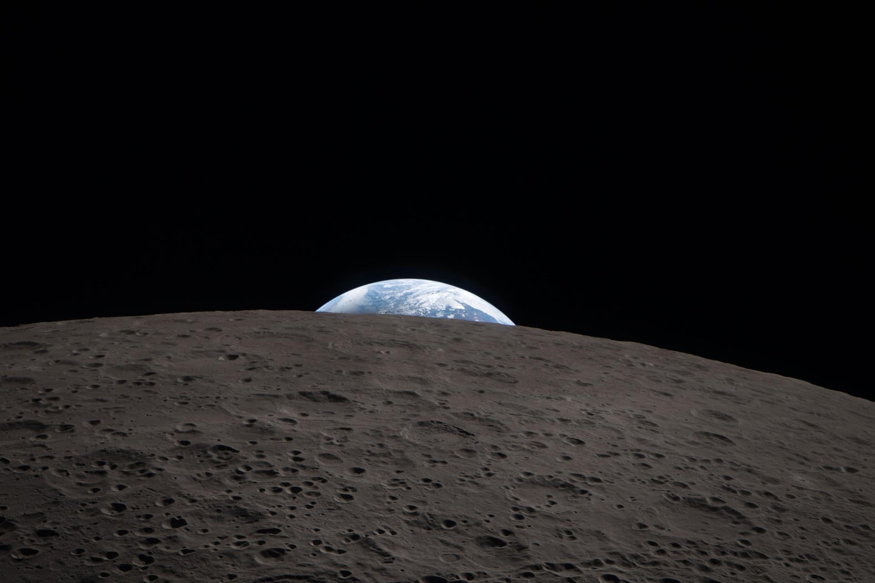 Moon
The distance a radio signal crosses
Compare Earth and the Moon on one physical scale, calculate radio travel time, and see why geometry matters more than a simple distance number.
Read the explanation