

Moon atlas / 03Moon
Why the lunar South Pole is difficult to explore
Artemis IV is planned to send two astronauts to the lunar South Pole region in early 2028. The region is attractive because it preserves scientific records and evidence of volatiles. Its low Sun, deep shadows and uneven terrain also make landing and working there unusually demanding.
A small axial tilt produces an extreme landscape of light
The Moon’s spin axis is tilted only about 1.5 degrees from perpendicular to the plane of Earth’s orbit around the Sun. Near a lunar pole, the Sun stays close to the horizon. Terrain then matters enormously: a rim may catch sunlight while the floor below remains behind an obstacle. Some crater interiors never receive direct sunlight. [1] [2]
These permanently shadowed regions are cold traps. Volatile molecules reaching sufficiently cold places can remain there for long periods instead of quickly escaping. Long-lived shadow is therefore scientifically interesting, but shadow alone is not a measurement of the amount, purity or depth of ice. A useful map must keep those different quantities separate. [2]
“Water on the Moon” includes different observations
Hydrogen measured from orbit, absorption features associated with hydroxyl or water, exposed ice signatures and water detected in impact debris do not all describe the same material. Instruments respond to different properties and sample different depths and areas. Combining them is more informative than treating every blue pixel on a map as a patch of exposed ice. [2] [3]
LCROSS deliberately sent a spent rocket stage into the shadowed Cabeus crater in 2009, then observed the ejected material before its own impact. The experiment revealed water in the debris. Later analysis of Chandrayaan-1’s Moon Mineralogy Mapper data identified surface ice at multiple polar locations. Water has also been detected on sunlit terrain. The Moon’s water is therefore not confined to one simple polar reservoir. [2]
A photograph of shadow needs a source of light
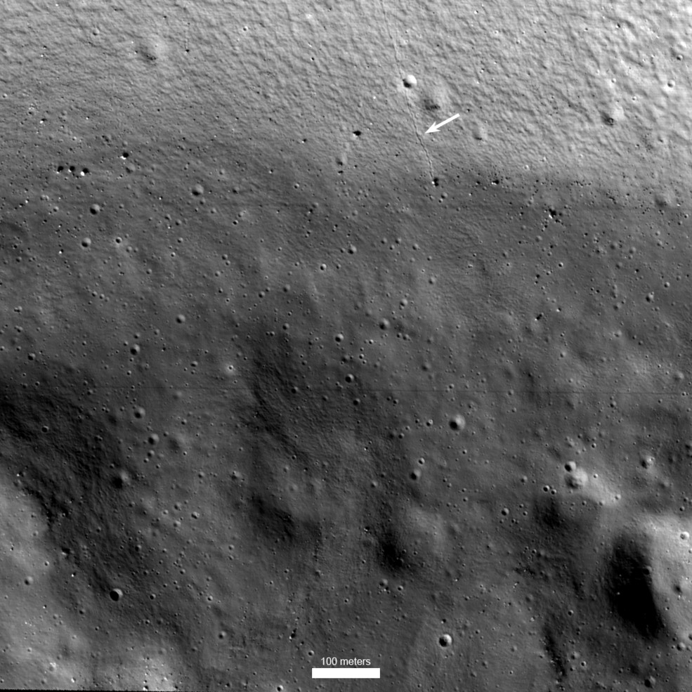
NASA’s ShadowCam flies on South Korea’s Danuri orbiter. It uses extremely faint reflected illumination to image terrain that does not receive direct sunlight. In the Shackleton image, the arrow points to a boulder track down a crater wall. The image reveals texture and hazards that an ordinary directly illuminated mosaic can miss. [4]
It does not show the crater filled with sunlight, nor does the brightness measure ice abundance. A highly sensitive camera and its image processing make faint terrain visible. Credit and caption matter here because the same picture could easily be misread as an ordinary daytime view of an icy crater. [4]
The route to a sample is part of the scientific experiment
A mission must reach useful material while preserving power, thermal control, navigation and a communications link. A highly illuminated ridge may be useful for solar power while a nearby scientific target lies in deep cold. Moving between them can mean steep terrain and sudden lighting changes. A straight line on a global map is not a verified traversable route. [5] [6]
VIPER’s planned investigation is designed to measure the distribution and physical setting of polar water and other volatiles. Those measurements address what remote detections cannot fully determine from orbit. They should not be described as proof that extracting water at industrial scale is already feasible. Finding a substance and operating a reliable resource system are different achievements. [6]
Keep future landing sites provisional
NASA’s Artemis IV overview identifies candidate regions rather than a final landing point. A region can contain several possible sites. Lighting windows, terrain analysis, vehicle capability and the science plan all affect the eventual choice. The South Pole marker in this atlas is therefore a regional view centred on the geographic pole; it does not claim to show where Artemis will land. [5]
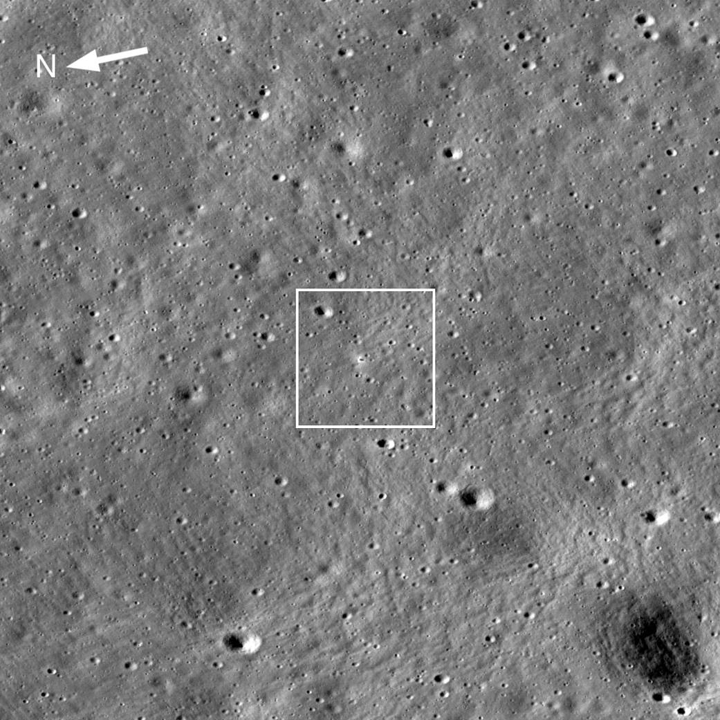
Chandrayaan-3’s 2023 landing is shown separately at about 69.37 degrees south. It was a high southern latitude landing, hundreds of kilometres from the pole itself. Distinguishing the two locations helps explain why a successful landing described as “near the South Pole” does not mean that a spacecraft entered a permanently shadowed crater. [7] [8]
Read the evidence
Sources & image credits
- NASA NSSDC · Moon fact sheet ↗
- NASA · Water and ices on the Moon ↗
- NASA · Chandrayaan-1 and Moon Mineralogy Mapper ↗
- NASA · ShadowCam images of permanently shadowed terrain ↗
- NASA · Artemis IV surface expedition ↗
- NASA · VIPER polar investigation ↗
- NASA NSSDC · Spacecraft and impacts on the Moon ↗
- NASA · Lunar exploration mission archive ↗
Technical explanation by Spacian, reviewed against the linked sources. Photographs retain their original dates, creators and reuse terms in their captions. Original diagrams explain mechanisms and do not reproduce engineering drawings or flight telemetry. Editorial policy and corrections.
Articles
More about the Moon
 Moon
The final descent: engines and dust
Understand why a lunar lander needs powered braking, what terrain navigation solves, and why dust becomes a problem in the last moments.
Read the explanation Moon
Basalt, highlands and impact rocks
Read the Moon through three rock histories, then connect a sample to its field context and laboratory measurements.
Read the explanation Moon
Why the Moon has phases
Follow the sunlight to distinguish phases, synchronous rotation and eclipses. A lunar orbit and a cycle of phases measure different things.
Read the explanation