

Moon atlas / 04Moon
What a Moon rock can tell you—and what its location adds
Sample collection is part of Artemis IV’s planned surface work. The value of a returned rock depends on more than its mass: scientists need its location, its surroundings and the measurements that connect a fragment to the Moon’s history. Apollo’s fieldwork shows why those records matter.
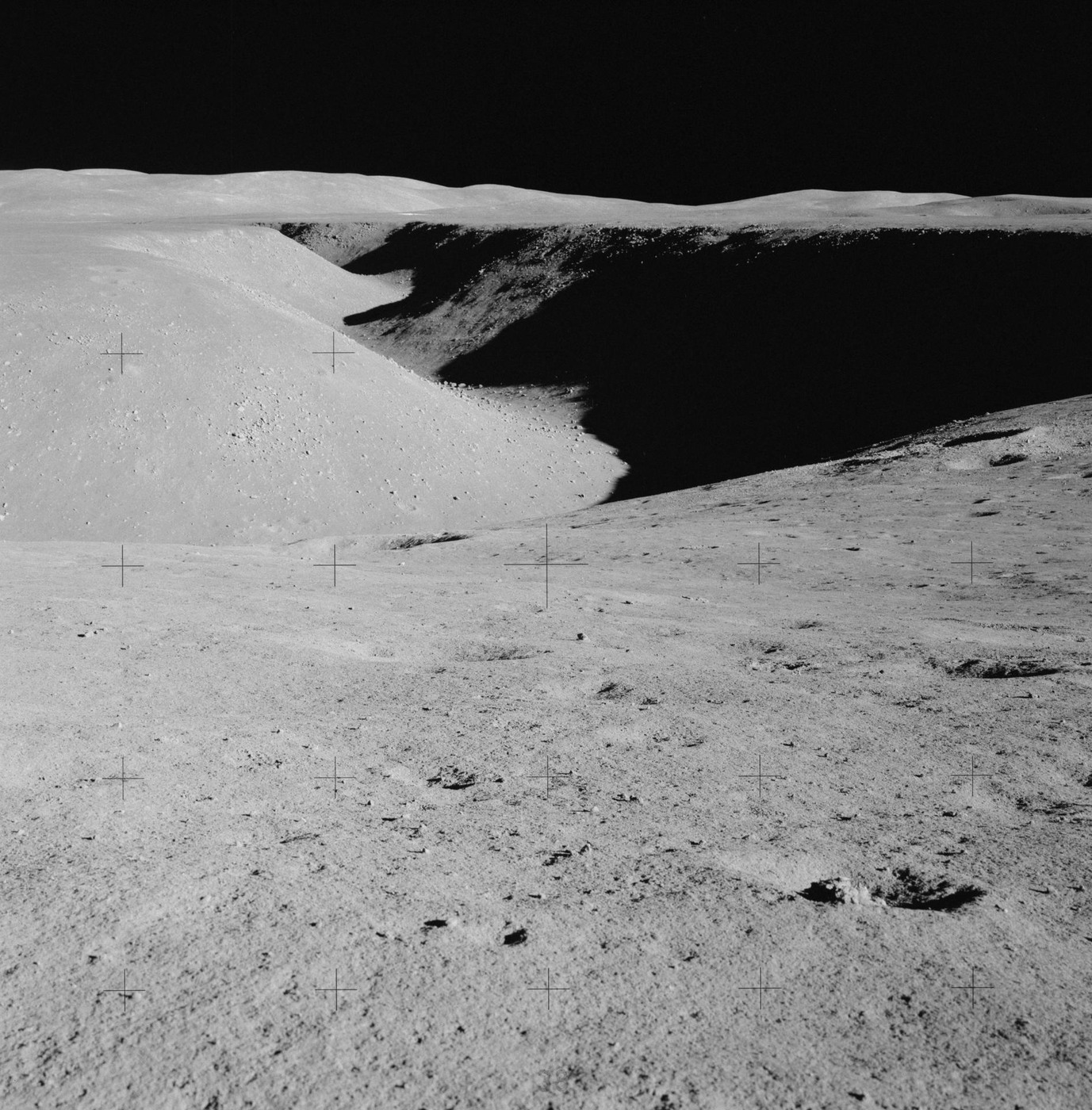
The dark plains are ancient volcanic surfaces
The dark maria visible from Earth are broad expanses of basalt. Lava spread across low areas and solidified, often within older impact basins. The basin-forming impact and the later volcanic flooding are separate events. The outline of a dark plain is therefore not simply the outline of one enormous volcanic crater. [1]
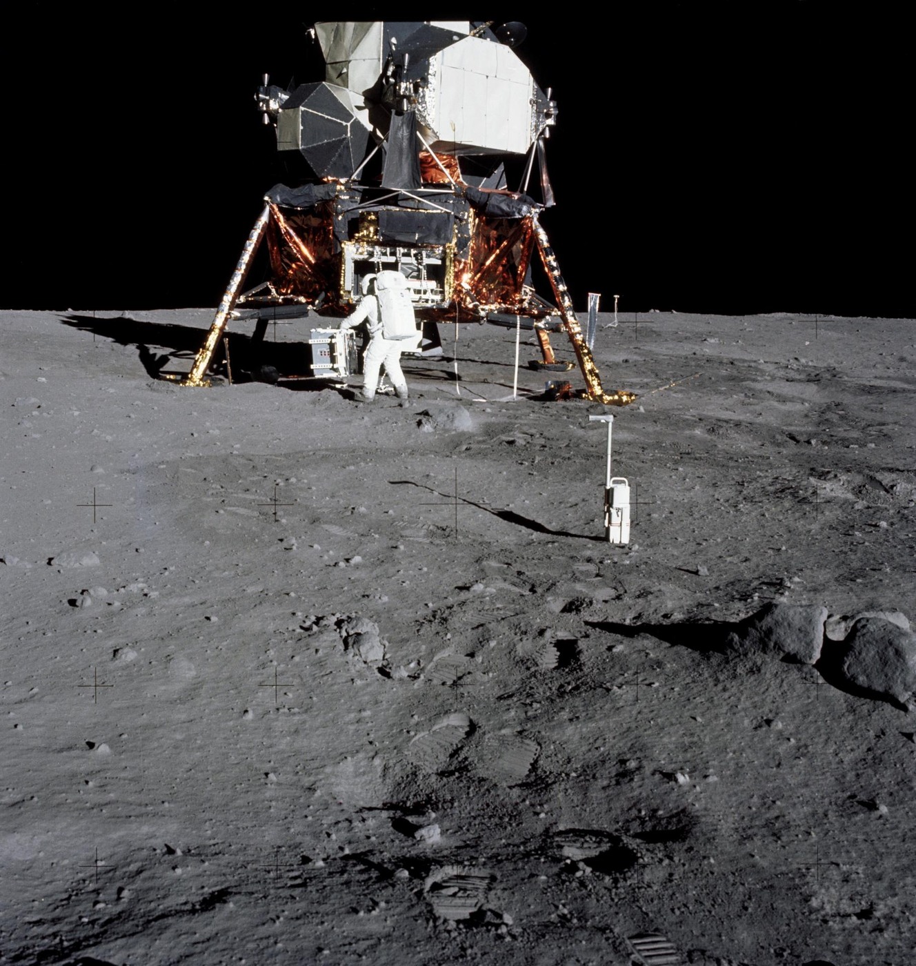
Apollo 11 landed on one of these basaltic plains in Mare Tranquillitatis. Its samples provided laboratory evidence about volcanic material that had previously been observed only from a distance. A rock’s chemistry, mineral structure and radiometric age add information that cannot be read from the darkness of a patch in a telescope. [2] [3]
Bright highlands preserve a different crustal story
Much of the bright lunar highlands is rich in plagioclase feldspar. Anorthositic rocks are important evidence for the early differentiation of the Moon, when minerals separated as its initially hot interior evolved. That interpretation rests on returned samples and their measurements, not on the idea that every bright rock has the same composition. [1] [4]
Apollo 15’s famous Genesis Rock is an anorthosite collected near Hadley–Apennine. It became an important sample of ancient crustal material. The nickname is not a precise age or proof that the rock is an untouched piece of the Moon’s very first surface. Read the sample’s laboratory record and collection context together. [4] [3]
Impacts break, mix and sometimes melt the record
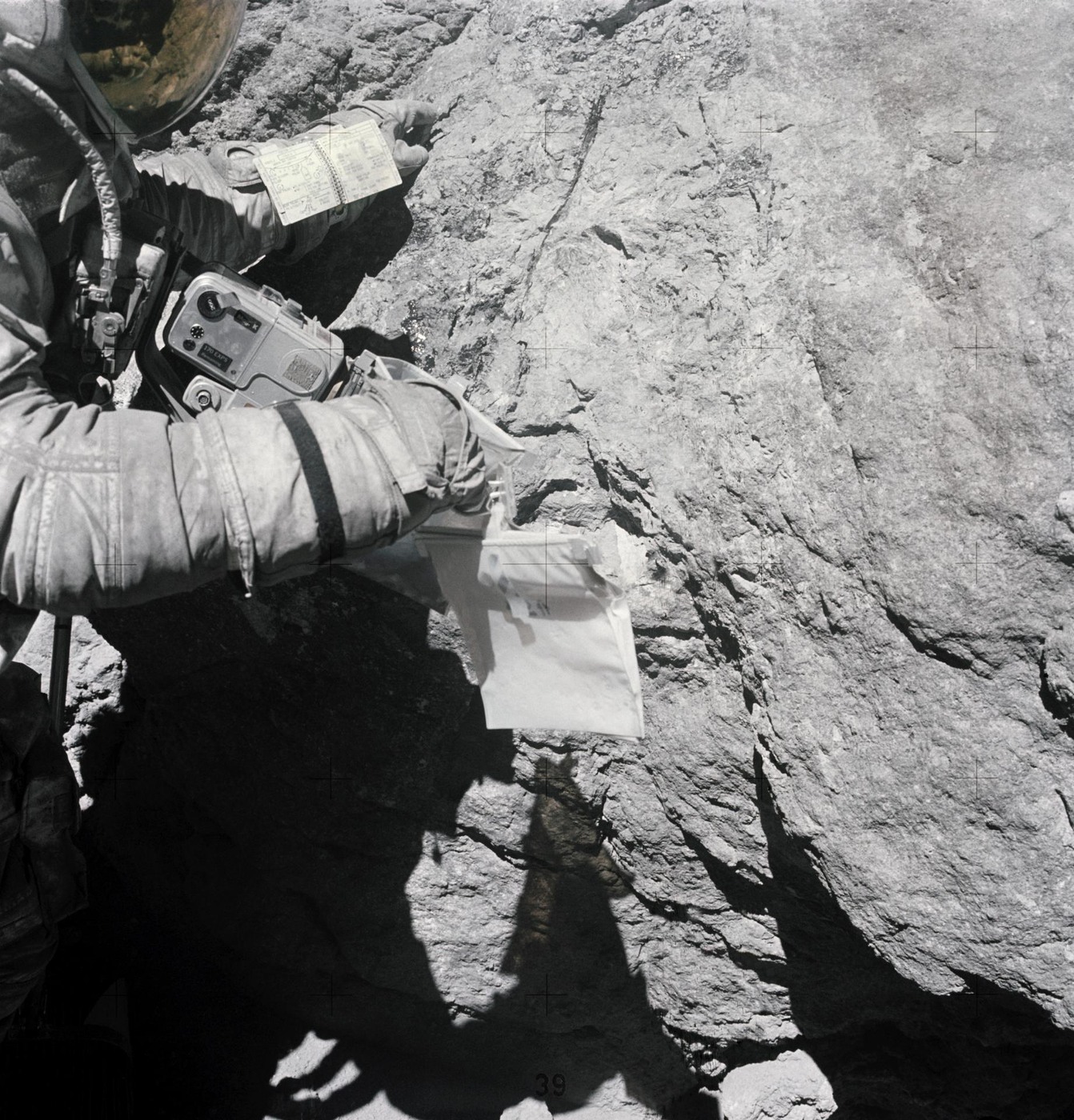
An impact can excavate material from depth, fracture existing rocks and melt some of them. Fragments can later be cemented together into breccia. A single hand specimen may therefore contain pieces with older histories inside a rock assembled by a later event. Calling it simply “a rock of this age” can hide the distinction between those histories. [1] [3]
Apollo 14 explored the Fra Mauro region to investigate material associated with the Imbrium impact. Apollo 16 sampled the Descartes highlands, where field and laboratory evidence helped test pre-mission ideas about the terrain’s origin. The point of reaching a particular site was to discriminate between explanations, not merely to bring home a different-looking stone. [2] [3]
The loose surface is a processed mixture
Regolith is the fragmented material covering much of the Moon. Repeated impacts break and mix the surface; exposure to the space environment alters grains. Soil collected at one point may contain material transported from elsewhere. A sample location is indispensable, but it does not guarantee that every grain formed in the bedrock directly underneath. [1]
That is why the collection sequence, photographs, tools, container history and laboratory curation are part of the scientific record. NASA’s sample catalogue keeps individual sample identities rather than reducing a mission’s return to one total weight. A new instrument can ask a new question of a carefully preserved old sample decades after collection. [3]
A far-side sample extends the map of evidence
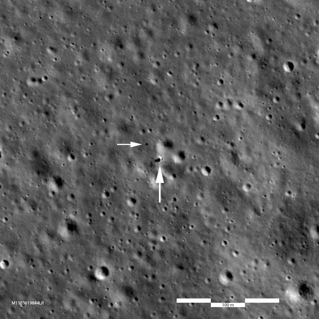
The six crewed Apollo landing sites are all on the near side. They covered several useful geological settings, but they were not a uniform survey of the Moon. Luna’s robotic returns and later Chinese sample missions add different sites and sampling methods. A larger collection is most useful when its provenance is known. [2] [5]
Chang’e 6 returned material from the far-side Apollo basin in 2024. Artemis IV is planned for another distinct setting near the South Pole. These sites are scientifically valuable because they test how well interpretations from one part of the Moon apply elsewhere. The atlas lets you move between them before opening the corresponding mission and sample explanation. [6] [7]
Read the evidence
Sources & image credits
- NASA · Formation and interior ↗
- NASA · Lunar exploration mission archive ↗
- NASA Astromaterials · Apollo sample catalogue ↗
- NASA · Apollo 15’s Genesis Rock ↗
- NASA NSSDC · Apollo landing coordinates from LRO ↗
- NASA · Chang’e 6 in the Apollo basin ↗
- NASA · Artemis IV surface expedition ↗
Technical explanation by Spacian, reviewed against the linked sources. Photographs retain their original dates, creators and reuse terms in their captions. Original diagrams explain mechanisms and do not reproduce engineering drawings or flight telemetry. Editorial policy and corrections.
Articles
More about the Moon
 Moon
What changes on the far side
Compare the two hemispheres, understand why a relay is needed, and see what far-side landing and sample missions can investigate.
Read the explanation Moon
Sunlight, shadows and polar ice
Follow grazing sunlight across polar terrain, separate evidence for water from an accessible resource, and understand why a landing region is not a landing point.
Read the explanation