

Inside spaceflight / 09Mars
How to read a vanished Martian lake
The planned Rosalind Franklin rover will investigate ancient Martian environments from the surface and below it. Understanding that investigation starts with a problem already visible at Jezero: how do you reconstruct a body of water when the water itself has disappeared?
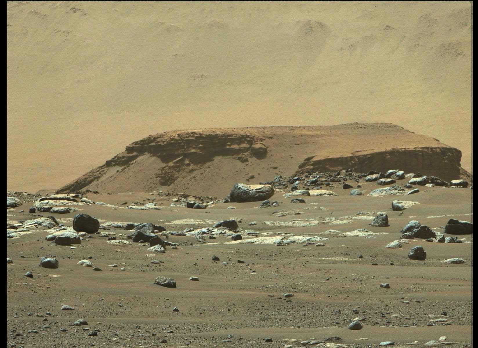
Start with the landscape, then test the explanation
Rosalind Franklin’s planned investigation combines geological context with samples collected below the surface. The landing site and the particular rocks matter because an instrument cannot recover an environmental history from the word “Mars” alone. Scientists need to know what a sample is part of, how it formed and what happened to it afterward. [1]
At Jezero Crater, orbital images revealed channels and a fan-shaped deposit near the edge of a basin. That geometry suggested a place where a river once entered a lake. Perseverance then supplied a different kind of evidence: close views of the rocks themselves. A distant outline became a hypothesis that could be checked on the ground. [2]
A delta records a change in the water’s motion
Moving water can transport sediment. When a river enters a quieter body of water, its ability to carry that material changes and sediment can accumulate. The resulting layers preserve information about transport and deposition. A fan shape is therefore a useful clue, but its outline alone is not a complete account of the water that built it. [3]
A rover can inspect grain sizes, layers and the boundaries between deposits. Fine material, coarse fragments and large transported boulders need not record the same conditions. Putting them in sequence helps distinguish a long-lived depositional setting from later, more energetic events. It also explains why researchers choose individual sampling sites rather than collect any convenient red rock. [2]
From a delta to an environmental history
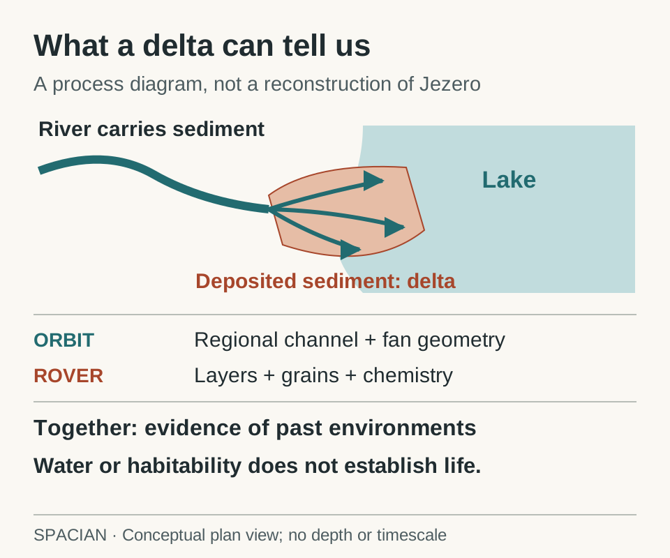
Conceptual sedimentary setting. Regional images and close measurements constrain different parts of the explanation.
- A river transports sediment. Where it enters a lake, deposition can build a delta. The drawing shows this process conceptually.
- Orbital images supply regional geometry. Rover measurements add local layers, grains and chemistry.
- The combined evidence constrains an environmental history. A habitable setting is not evidence that organisms existed.
Original Spacian illustration · [2] [4] Download diagram ↗
The diagram shows the reasoning, not an exact reconstruction of Jezero. Its river, shoreline and layers are conceptual. No water depth, flow speed or duration is inferred from the size of the illustration. Those quantities require their own evidence. [3]
Water can alter a rock without depositing it
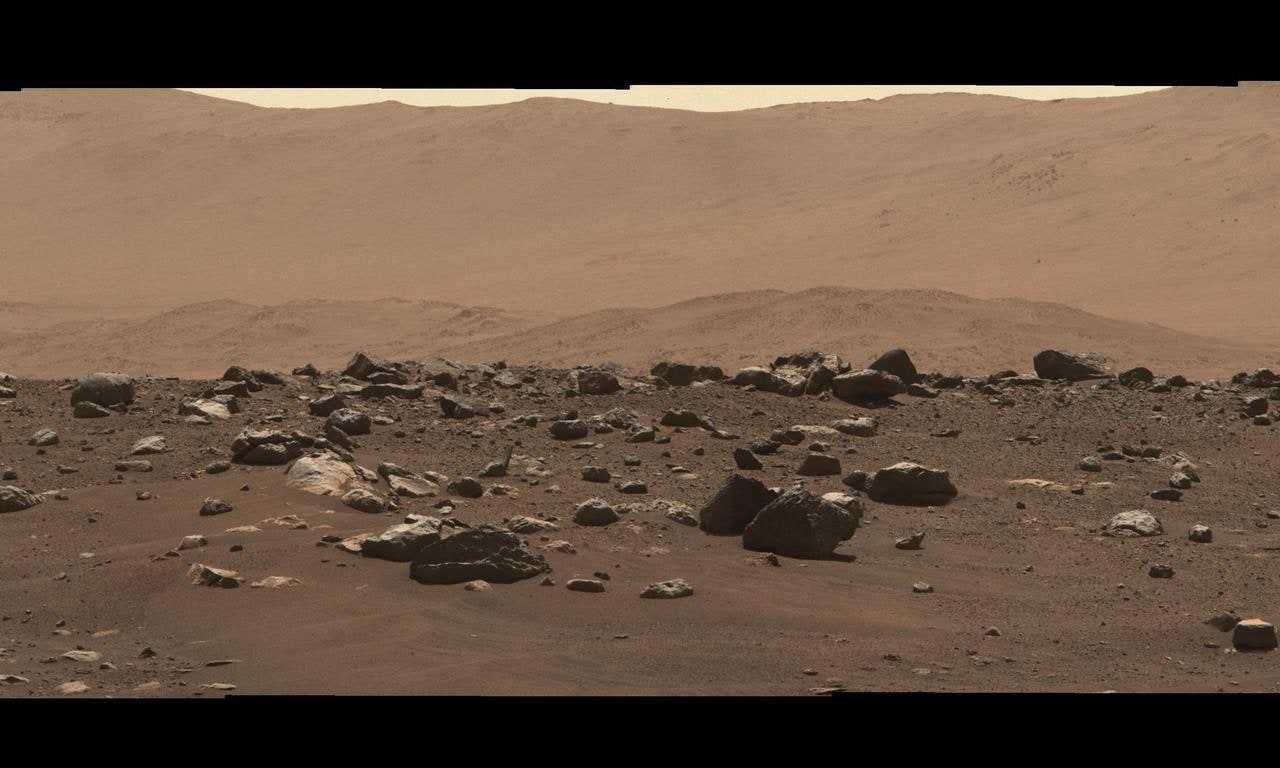
Jezero also contains rocks with an igneous history. A rock can form from magma and later interact with water. Its original formation and its later chemical alteration are separate chapters. Calling every rock in a former lake basin “lake sediment” would erase that distinction. [5]
The Margin Unit near Jezero’s inner rim made this distinction concrete. Orbital carbonate signals and its shoreline position had made lake sediments an attractive explanation. Perseverance instead found igneous rock. A September 2026 study identified evidence of at least three encounters with water. Carbonates had pointed toward an interesting place; the rover’s measurements showed why that place could not be understood from a shoreline outline alone. [5]
Mars changed, and the missing water has several destinations
Mars today has a thin atmosphere and a cold surface. Long-lived bodies of liquid water do not occupy its surface as they do on Earth. Some water remains as ice. Some of the planet’s earlier water inventory has been involved in chemical reactions and atmospheric escape. There is no single photograph that can divide the entire ancient inventory among those destinations. [6]
MAVEN investigated the upper atmosphere and its interaction with the Sun. Its measurements connected atmospheric escape to solar radiation and the solar wind. That is evidence about a loss process, rather than a measurement of the date on which a particular lake disappeared. [7]
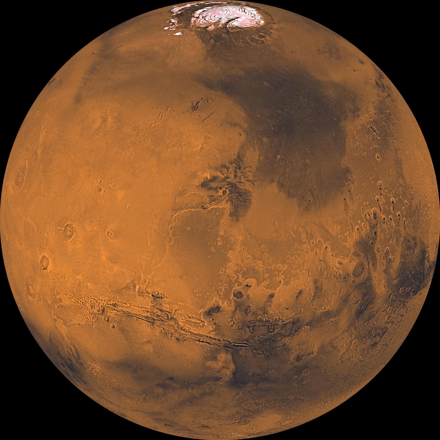
Studies using hydrogen and its heavier isotope, deuterium, add another constraint because the two do not escape in exactly the same way. Observations of the present atmosphere can therefore help investigate a much longer history, with assumptions and uncertainties that must remain visible. [8]
MAVEN’s current mission record reports that its mission has ended. Its scientific measurements remain useful. A spacecraft’s operational status and the continuing value of its data are different pieces of information. [9]
The next question is what the environment could preserve
A watery setting can be relevant to habitability: it may have offered conditions in which life could persist. Preservation asks another question. Even if a biological signal once existed, could the rock retain it through burial, radiation, chemical alteration and later exposure? A promising ancient environment and a promising sample are related, but they are not interchangeable. [10]
That is why the next investigation is not simply “find a place that was wet.” Rosalind Franklin’s subsurface sampling addresses material that has experienced a different exposure history. Read the companion explanation to see what a deeper sample changes—and why an interesting organic molecule would still need to be interpreted in its geological setting. [11]
Read the evidence
Sources & image credits
- NASA Astrobiology · ExoMars Rosalind Franklin ↗
- NASA · Perseverance science highlights ↗
- NASA/JPL · Reconstructing the history of Jezero’s lake ↗
- NASA/JPL · Potential biosignature in Sapphire Canyon, September 2025 ↗
- NASA · Complex water systems on early Mars ↗
- NASA · Mars facts ↗
- NASA · MAVEN’s evidence for atmospheric loss, March 2017 ↗
- NASA · Hubble and MAVEN investigate escaping water ↗
- NASA · MAVEN mission record, including its end of mission ↗
- ESA · Rosalind Franklin mission and its scientific investigation ↗
- ESA · Drilling into Mars, February 2025 ↗
Technical explanation by Spacian, reviewed against the linked sources. Photographs retain their original dates, creators and reuse terms in their captions. Original diagrams explain mechanisms and do not reproduce engineering drawings or flight telemetry. Editorial policy and corrections.
Continue the story
Follow the mechanism
 Mars
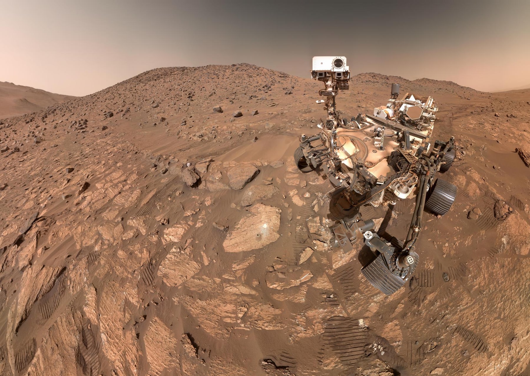
Searching for ancient life
Understand why habitability, organic chemistry and a potential biosignature are different claims, and what Rosalind Franklin’s deeper samples can add.
Read the explanation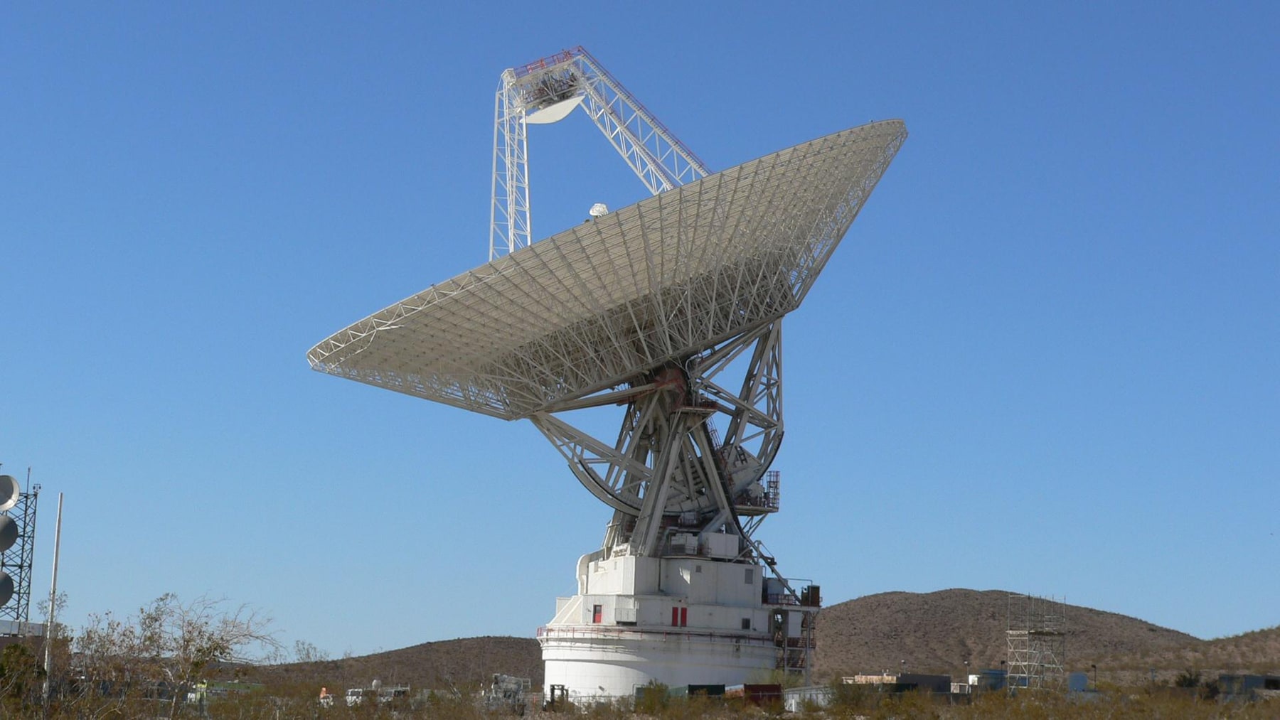 Mars
Communicating with a rover
Calculate one-way and round-trip radio delay, then see how command planning, onboard navigation and orbital relays change exploration on Mars.
Read the explanation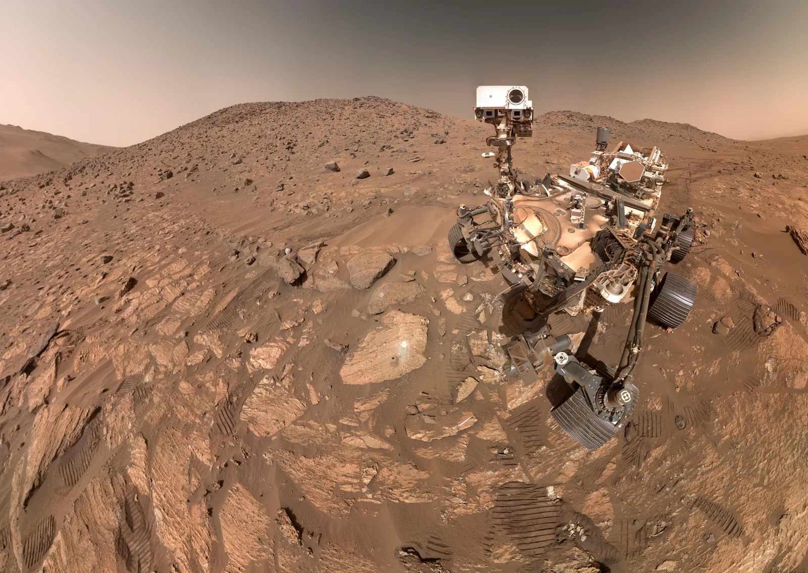 Mars
A world worth the wait.
A landscape you can photograph. A world you cannot control in real time.
Explore Mars missions