

地球
この天体の資料・解説は英語です。
Earth’s magnetic field is generated by motion in its electrically conducting outer core. The field shapes the planet’s interaction with the solar wind, while auroras reveal some of the resulting particle motion. Measurements combine signals from the core, crust, ionosphere and even moving ocean water. ESA’s Swarm mission helps separate those contributions, making the field a tool for investigating processes both above and below the surface.
- 平均直径
- 12,742 km
- 自転周期
- 23 h 56 min
- 年
- 1 Earth year
Ocean height
Timing a radar echo
Sentinel-6 combines radar range, a precisely determined orbit and atmospheric corrections to measure the ocean’s changing surface.
The magnetic environment
From the liquid core to the upper atmosphere
Swarm separates the overlapping magnetic signals of the core, crust, oceans and currents above Earth. Auroras reveal part of that interaction in visible light.
Earth from orbit
Building the Blue Marble
VIIRS observations from several orbital swaths form a global portrait. Wavelength, projection and acquisition time determine what the picture can tell us.
ほかの調査内容
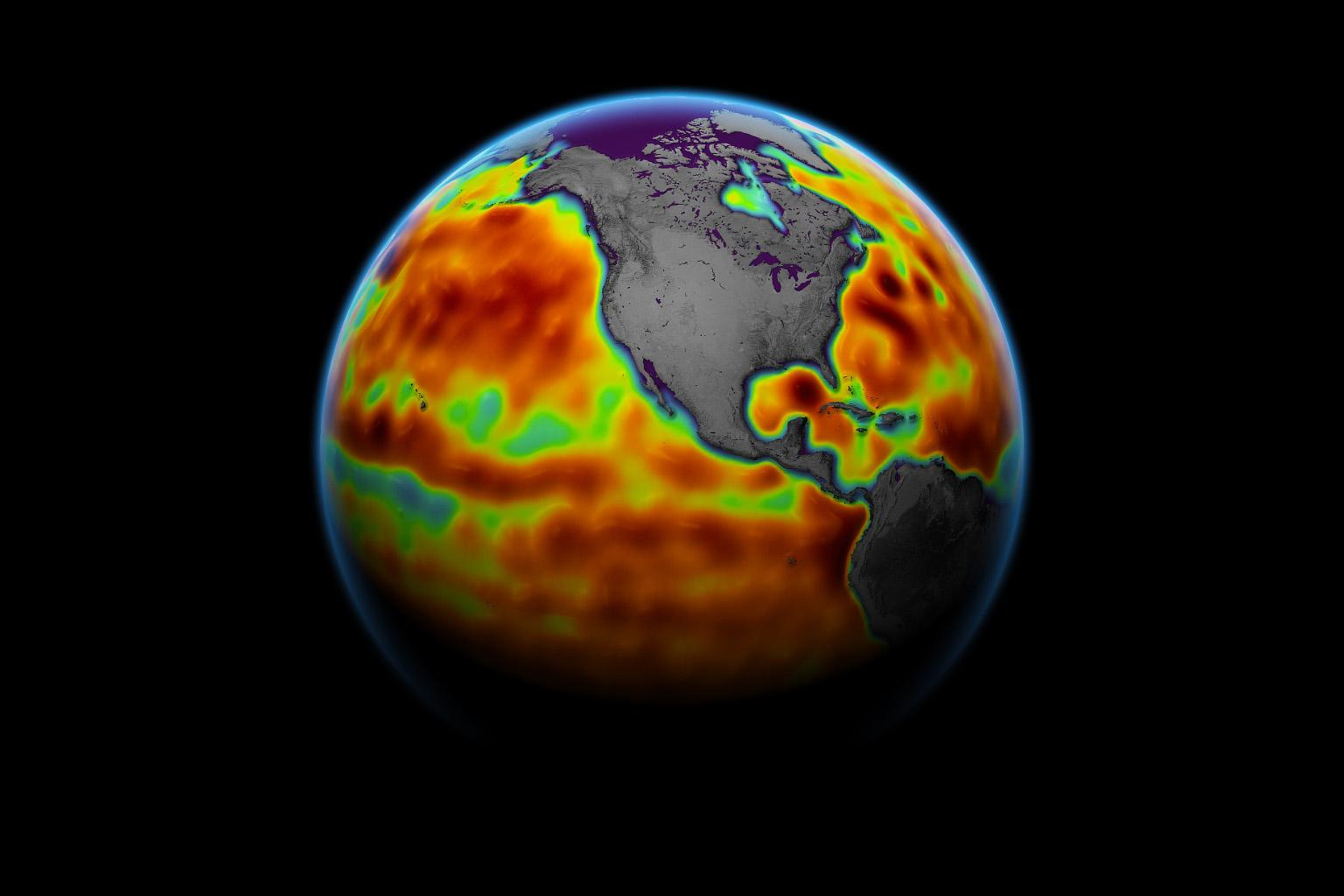
How a satellite measures the height of the ocean
3 min read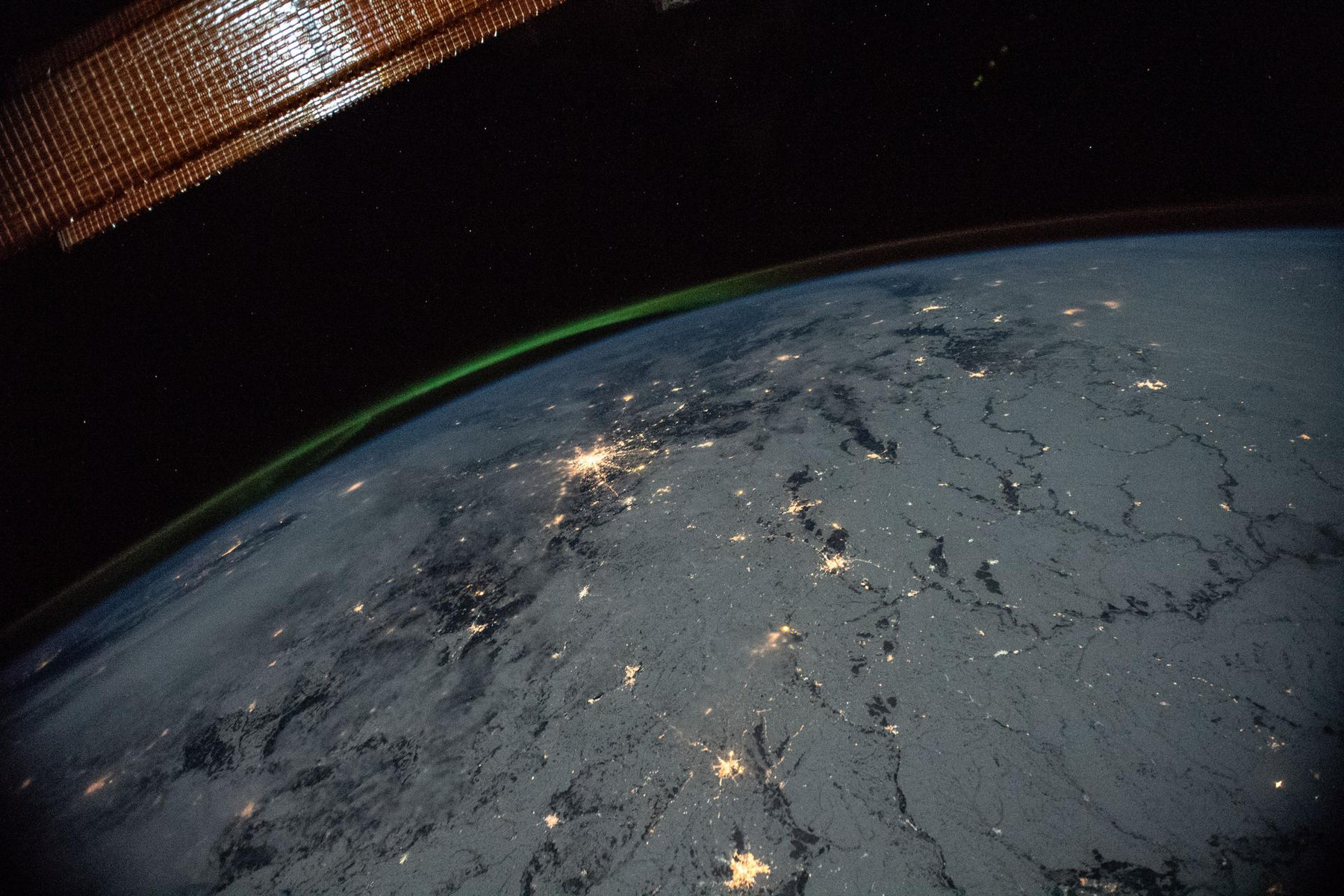
Reading Earth’s magnetic field from orbit
4 min read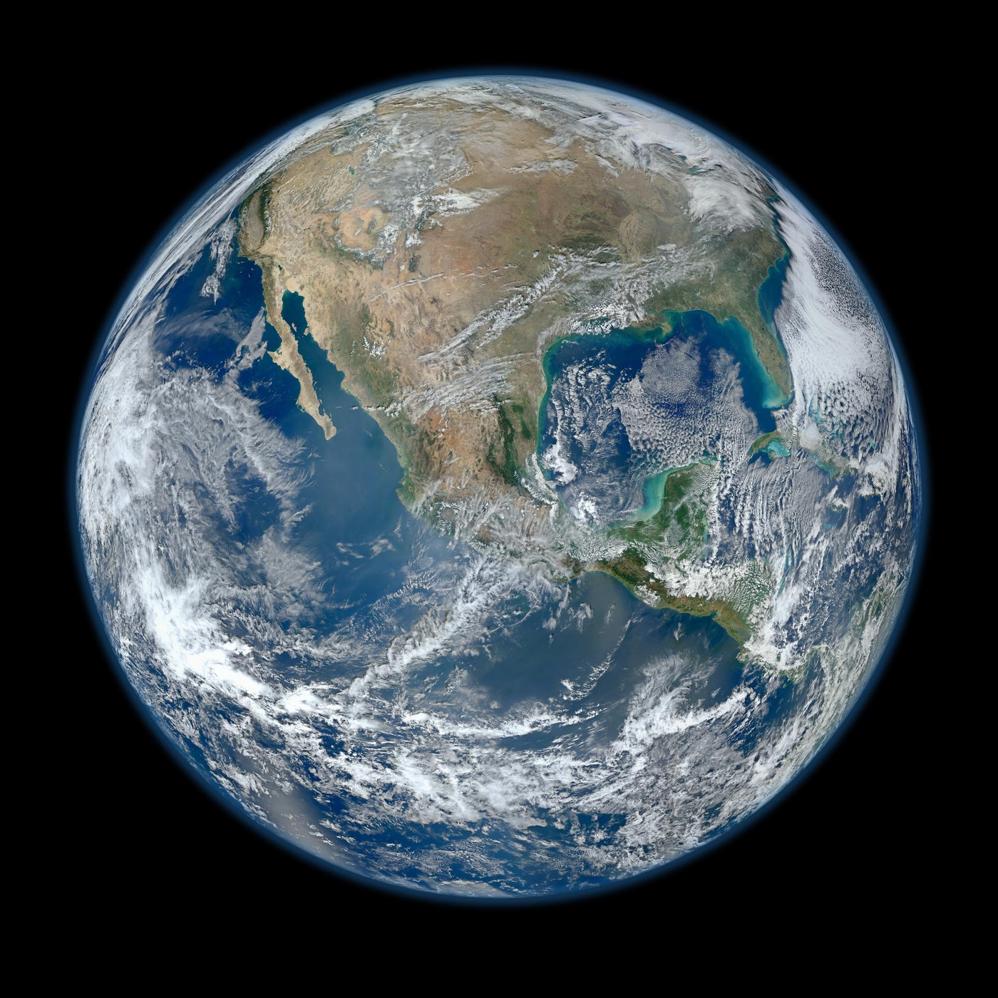
How a Blue Marble is built
3 min read
Where to see the February 6, 2027 annular solar eclipse
6 min read
The shortest day, minute by minute.
7 min read
August 2, 2027 Solar Eclipse: Where Totality Happens
6 min read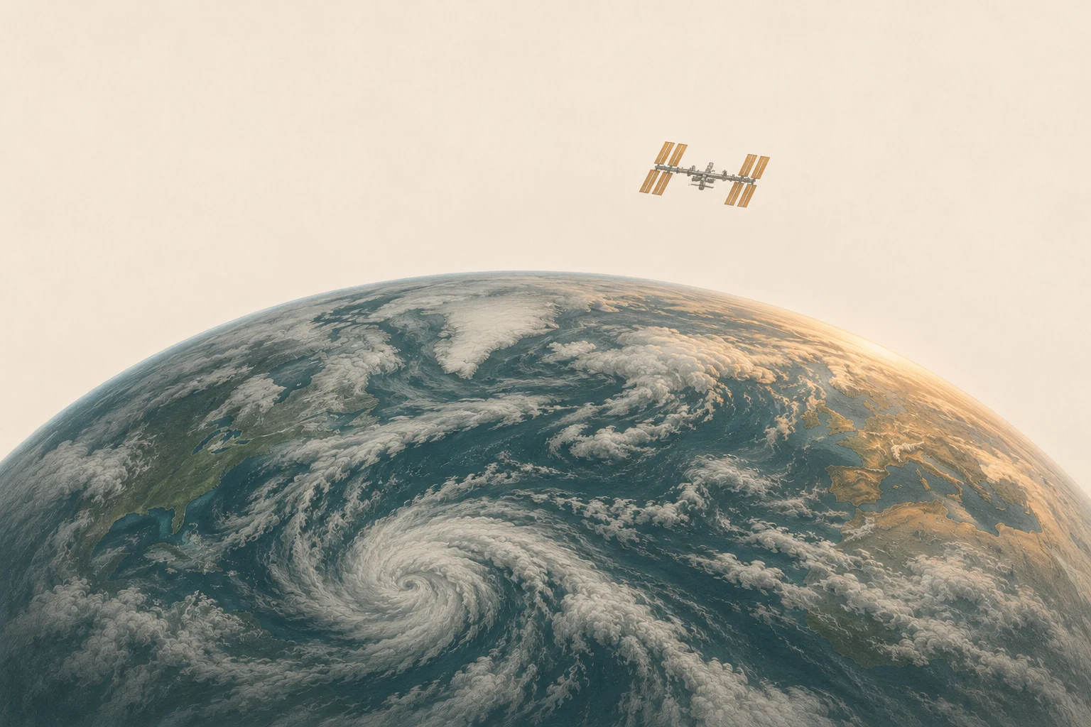
How to see the International Space Station tonight
7 min read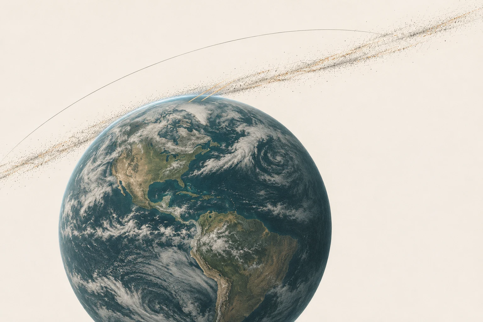
The Leonids after the peak
3 min read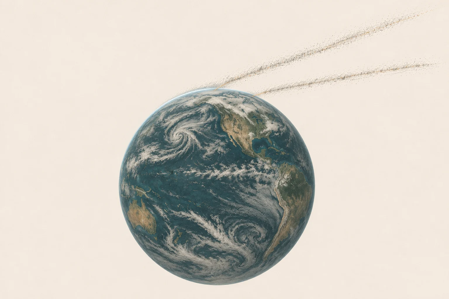
2027 Meteor shower calendar
8 min read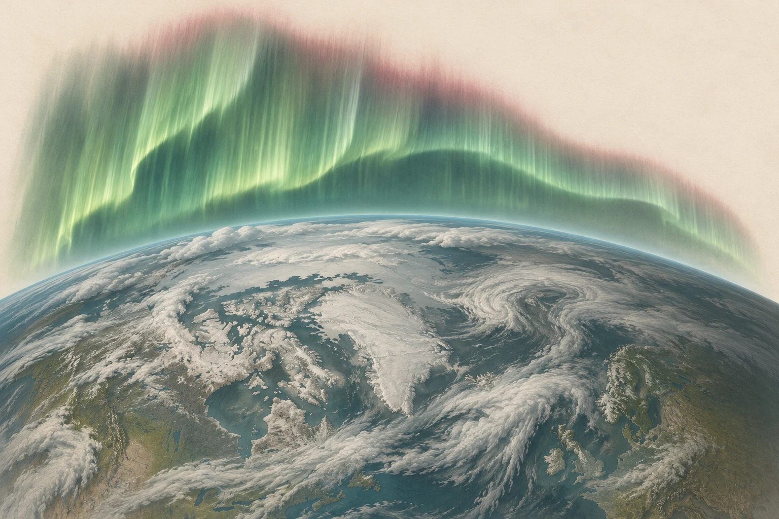
Read an aurora forecast
5 min read
When to watch the Quadrantids
8 min read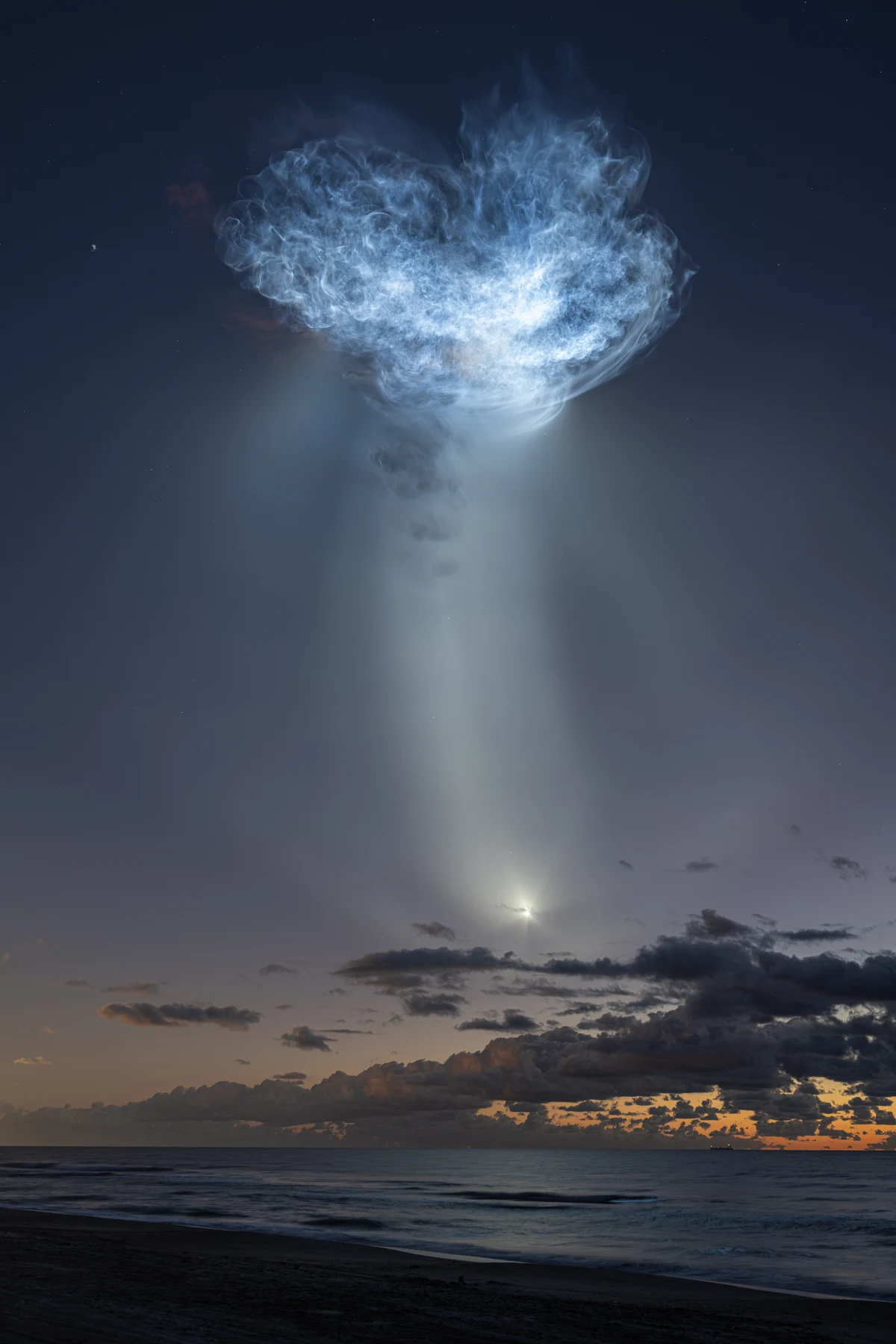
Why rocket plumes glow after sunset
3 min read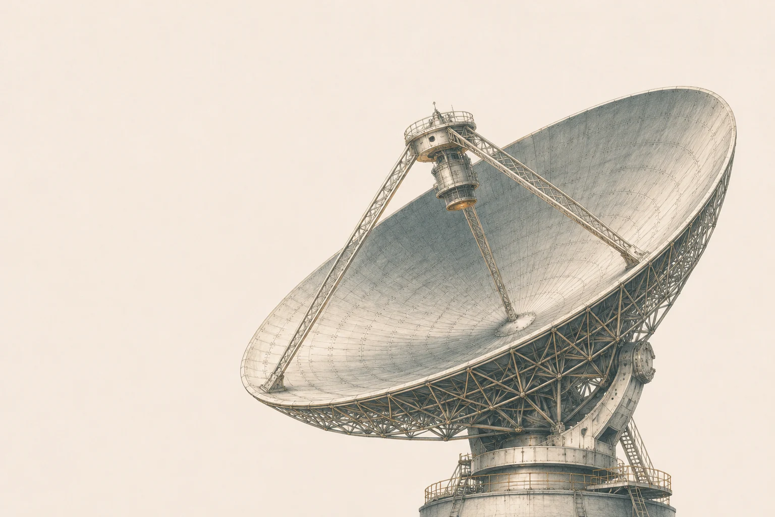
Voyager 1 is one light-day away. Why does a reply take two?
4 min read観測装置が捉えた姿
画像を開くと、全体と出典を確認できます。
Earth from Suomi NPP
NASA/NOAA/GSFC/Suomi NPP/VIIRS/Norman KuringSentinel-6’s first sea-level measurements
NASA Earth ObservatoryAurora over Earth’s limb
NASAVisualization of Earth’s compressed dayside magnetosphere and elongated magnetotail
NASA/Goddard Space Flight CenterA fine amber ring of sunlight surrounds a dark lunar disk.
Spacian · optical illustration from Eclipse Predictions by Fred Espenak, NASA’s GSFCTwo rays cross at a small pinhole and reach a paper screen, where a reversed ring appears.
Spacian · explanatory illustrationAn ink illustration of the Seattle skyline above Elliott Bay, with the Space Needle and a faint copper band in the clouds.
Spacian · AI-assisted editorial illustrationOn equal clock scales the morning change spans eight minute ticks, while the evening change spans two.
Spacian · graphic from U.S. Naval Observatory timesA dark lunar disk obscures the bright Sun, leaving soft ivory streamers of the corona.
Spacian · optical illustration from Eclipse Predictions by Fred Espenak, NASA’s GSFCTwo arrows cross a simplified round shadow. The route across the center is longer than the one near its edge.
Spacian · explanatory illustrationThe illustrated space station hangs above the curve of Earth, near the softly lit edge of the planet.
Spacian · AI-assisted editorial illustrationA roof hides the lowest start of a simple arch across the sky. The arch peaks high and ends above the horizon.
Spacian · explanatory illustrationOriginal illustration of Earth crossing a narrow stream of comet dust, with a few luminous atmospheric entry tracks.
Spacian · original illustration generated with OpenAI ImageGenSeveral Leonid meteor tracks recorded against stars during the 1999 airborne Leonid MAC campaign.
NASA/Ames Research Center/ISAS/Shinsuke Abe and Hajime YanoTwo thin bands of dust approach a textured Earth from different angles.
Spacian · AI-assisted editorial illustrationTwo sets of meteor trails on one patch of sky trace backward to different points.
Spacian · explanatory illustrationOriginal editorial illustration of a finely structured green auroral curtain above Earth’s curved atmospheric edge and low clouds.
Spacian · original illustration generated with OpenAI ImageGenA green auroral layer, the bright Moon and city lights viewed over Earth’s curved blue atmospheric limb from the International Space Station on 2 April 2014.
NASA · astronaut Rick MastracchioA diagonal ribbon of dense dark grains fades outward. An enlarged rocky fragment sits in the foreground.
Spacian · AI-assisted editorial illustrationFour marks on a common horizon. London and Tbilisi are well above it, New York is just above and Los Angeles is below.
Spacian · graphic from IMO radiant coordinates and USNO methodA broad pale exhaust cloud glows high above a darker predawn sea during the CRS-35 Falcon 9 launch.
NASA/John KrausA large radio dish shown at an angle, with its focal receiver suspended above the reflector.
Spacian · AI-assisted editorial illustrationTwo arrows of equal length point in opposite directions between an Earth symbol and a radio antenna.
Spacian · explanatory illustrationEarth observation missions
1082 launch records · 24 linked events
1106 related records
Night Owls Never Sleep (StriX Launch 14)
November 27, 2026 · UTC
Rocket Lab · Electron
Metop-SG B1
2026年12月17日・時刻未定
Arianespace · Ariane 62BlackSky Gen-3 6
日時未定
Rocket Lab · ElectronBlackSky Gen-3 7
日時未定
Rocket Lab · Electron
1 x Pelican satellite
日時未定
Isar Aerospace · Spectrum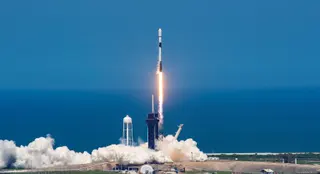
CHORUS
2026年12月・日付未定
SpaceX · Falcon 9 Block 5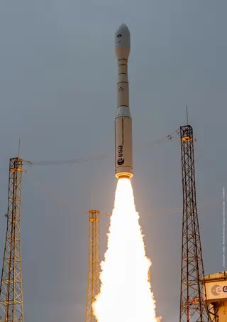
IRIDE 1
2026年12月・日付未定
Avio S.p.A · Vega-COwlet-01
日時未定
Unknown · Unknown Launch VehicleiQPS Launch 11
日時未定
Rocket Lab · Electron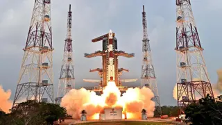
EOS-10 (Oceansat-3A)
2027年1月・日付未定
Indian Space Research Organization · PSLV XL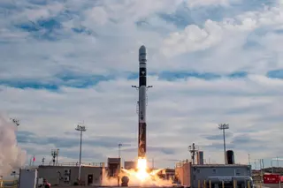
QuickSounder
2027年2月15日・時刻未定
Firefly Aerospace · Firefly Alpha Block 2WSF-M2 & BLAZE-2 (USSF-178)
日時未定
SpaceX · Falcon 9 Block 5KOMPSAT-6 & PLATiNO 1
2027年4月・日付未定
Avio S.p.A · Vega-CPolSIR-1
2027年6月・日付未定
Rocket Lab · Electron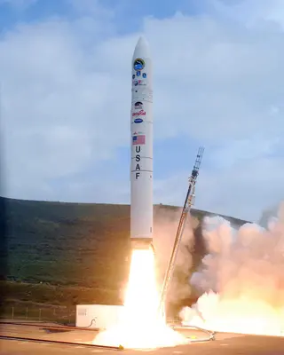
EWS OD-1
日時未定
Northrop Grumman Space Systems · Minotaur IVCSG-4
日時未定
Avio S.p.A · Vega-CKOMPSAT-7A
2027年6月・日付未定
SpaceX · Falcon 9 Block 5PolSIR-2
2027年6月・日付未定
Rocket Lab · ElectronSentinel CO2M-A
2027年11月・日付未定
Avio S.p.A · Vega-CPLATiNO-2
2027年11月・日付未定
Avio S.p.A · Vega-CFORMOSAT-8C
日時未定
Avio S.p.A · Vega-CFORUM
日時未定
Avio S.p.A · Vega-CBlackSky Gen-3 8
日時未定
Rocket Lab · ElectronAmazonia-1B
日時未定
Avio S.p.A · Vega-CBlackSky Gen-3 9
日時未定
Rocket Lab · Electron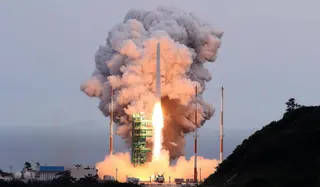
NeonSat-7 to 11
日時未定
Korea Aerospace Research Institute · KSLV-2 NuriCRISTAL-A
日時未定
Avio S.p.A · Vega-CStriX Launch 17
日時未定
Rocket Lab · ElectronStriX Launch 16
日時未定
Rocket Lab · ElectronStriX Launch 15
日時未定
Rocket Lab · ElectronINCUS
日時未定
Firefly Aerospace · Firefly Alpha Block 2JPSS 4 (Joint Polar Satellite System spacecraft No. 4)
2027年12月・日付未定
SpaceX · Falcon 9 Block 5IRIDE 2
日時未定
Avio S.p.A · Vega-CPléiades Neo Next 1
日時未定
Avio S.p.A · Vega-CSentinel CO2M-B
2028年3月・日付未定
Avio S.p.A · Vega-CGRACE-C
日時未定
SpaceX · Falcon 9 Block 5iQPS Launch 17
日時未定
Rocket Lab · ElectroniQPS Launch 12
日時未定
Rocket Lab · ElectroniQPS Launch 15
日時未定
Rocket Lab · ElectronFORMOSAT-8D
日時未定
Avio S.p.A · Vega-CCAS500-5
日時未定
Korea Aerospace Research Institute · KSLV-2 NuriiQPS Launch 16
日時未定
Rocket Lab · ElectroniQPS Launch 14
日時未定
Rocket Lab · ElectronSentinel-3D
2028年12月・日付未定
Avio S.p.A · Vega-CAltius
日時未定
Avio S.p.A · Vega-CFORMOSAT-9A
日時未定
Avio S.p.A · Vega-CAOS-Demo & Precursor
日時未定
Isar Aerospace · SpectrumiQPS Launch 13
日時未定
Rocket Lab · ElectronStriX Launch 46
日時未定
Rocket Lab · ElectronStriX Launch 26
日時未定
Rocket Lab · ElectronStriX Launch 31
日時未定
Rocket Lab · ElectronStriX Launch 43
日時未定
Rocket Lab · ElectronStriX Launch 38
日時未定
Rocket Lab · ElectronStriX Launch 27
日時未定
Rocket Lab · ElectronStriX Launch 24
日時未定
Rocket Lab · ElectronStriX Launch 34
日時未定
Rocket Lab · ElectronStriX Launch 42
日時未定
Rocket Lab · ElectronStriX Launch 29
日時未定
Rocket Lab · ElectronStriX Launch 20
日時未定
Rocket Lab · ElectronStriX Launch 41
日時未定
Rocket Lab · ElectronStriX Launch 35
日時未定
Rocket Lab · ElectronStriX Launch 47
日時未定
Rocket Lab · ElectronStriX Launch 19
日時未定
Rocket Lab · ElectronStriX Launch 32
日時未定
Rocket Lab · ElectronStriX Launch 36
日時未定
Rocket Lab · ElectronStriX Launch 21
日時未定
Rocket Lab · ElectronStriX Launch 30
日時未定
Rocket Lab · ElectronSBG-TIR
日時未定
Avio S.p.A · Vega-CStriX Launch 33
日時未定
Rocket Lab · ElectronStriX Launch 23
日時未定
Rocket Lab · ElectronStriX Launch 39
日時未定
Rocket Lab · ElectronStriX Launch 28
日時未定
Rocket Lab · ElectronStriX Launch 45
日時未定
Rocket Lab · ElectronStriX Launch 22
日時未定
Rocket Lab · ElectronStriX Launch 44
日時未定
Rocket Lab · ElectronStriX Launch 40
日時未定
Rocket Lab · ElectronStriX Launch 25
日時未定
Rocket Lab · ElectronStriX Launch 37
日時未定
Rocket Lab · ElectronHarmony
日時未定
Avio S.p.A · Vega-CStriX Launch 18
日時未定
Rocket Lab · ElectronFORMOSAT-9B
日時未定
Avio S.p.A · Vega-CTRUTHS
日時未定
Avio S.p.A · Vega-CMetop-SG A2
日時未定
Arianespace · Ariane 62Metop-SG B2
日時未定
Arianespace · Ariane 62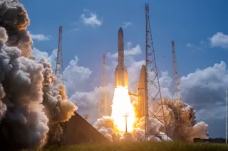
MTG-I3
日時未定
Arianespace · Ariane 64MTG-S2
日時未定
Arianespace · Ariane 64MTG-I4
日時未定
Arianespace · Ariane 64Metop-SG A3
日時未定
Arianespace · Ariane 62Metop-SG B3
日時未定
Arianespace · Ariane 62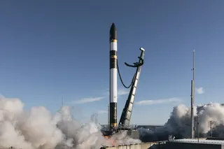
The Mountain God Rises (iQPS Launch 10)
November 14, 2026 · UTC
Rocket Lab · Electron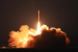
4 satellites
November 6, 2026 · UTC
Galactic Energy · Ceres-2The Sea God Surveys (iQPS Launch 9)
November 2, 2026 · UTC
Rocket Lab · ElectronWe're Not Hawking Around (3x HawkEye 360)
October 23, 2026 · UTC
Rocket Lab · Electron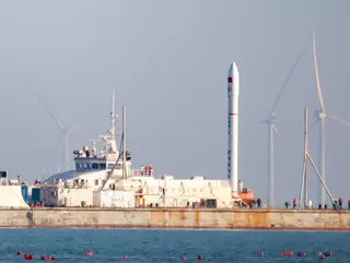
Xiguang-4 01
October 21, 2026 · UTC
Galactic Energy · Ceres-1SNeonSat-2 to 6
October 7, 2026 · UTC
Korea Aerospace Research Institute · KSLV-2 NuriOwlright, Owlright, Owlright (StriX Launch 13)
September 26, 2026 · UTC
Rocket Lab · Electron
9 satellites
September 20, 2026 · UTC
CAS Space · Kinetica 1
PIESAT-2 13-16
September 19, 2026 · UTC
China Aerospace Science and Technology Corporation · Long March 2DOwl By The Dozen (StriX Launch 12)
September 19, 2026 · UTC
Rocket Lab · Electron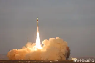
SpaceTY-51 & 52
September 17, 2026 · UTC
ExPace · Kuaizhou 11Sentinel-3C & FLEX
September 15, 2026 · UTC
Avio S.p.A · Vega-CHappily Ever Faster (BlackSky Gen-3 5)
September 11, 2026 · UTC
Rocket Lab · Electron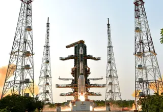
GISAT-1A (EOS-05)
September 3, 2026 · UTC
Indian Space Research Organization · GSLV Mk. IIOwl Around The World (StriX Launch 11)
September 2, 2026 · UTC
Rocket Lab · ElectronMTG-I2
August 27, 2026 · UTC
Arianespace · Ariane 62The Lightning God Defends (iQPS Launch 8)
August 20, 2026 · UTC
Rocket Lab · Electron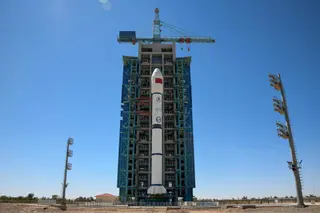
Satellite for Earth Observation (SEO)
August 17, 2026 · UTC
China Aerospace Science and Technology Corporation · Long March 2CThe Grain Goddess Provides (iQPS Launch 7)
August 6, 2026 · UTC
Rocket Lab · Electron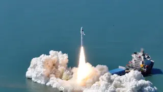
OSE HS-01 & 02
August 5, 2026 · UTC
China Rocket Co. Ltd. · Smart Dragon 35 satellites
July 23, 2026 · UTC
CAS Space · Kinetica 1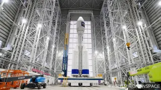
9 satellites
July 22, 2026 · UTC
Orienspace Technology · Gravity-1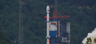
Haiyang 2E
July 1, 2026 · UTC
China Aerospace Science and Technology Corporation · Long March 4BTen Owl Of Ten (StriX Launch 10)
June 26, 2026 · UTC
Rocket Lab · Electron8 x Jilin-1
June 15, 2026 · UTC
CAS Space · Kinetica 1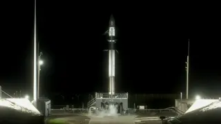
Viva La StriX (StriX Launch 9)
May 22, 2026 · UTC
Rocket Lab · Electron5 satellites
May 15, 2026 · UTC
CAS Space · Kinetica 1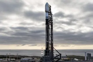
CAS500-2 & Others
May 3, 2026 · UTC
SpaceX · Falcon 9 Block 5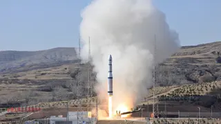
PRSC-EO3
April 25, 2026 · UTC
China Aerospace Science and Technology Corporation · Long March 6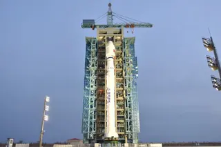
Daqi-2 (AEMS)
April 17, 2026 · UTC
China Aerospace Science and Technology Corporation · Long March 4C8 x Jilin-1
April 14, 2026 · UTC
CAS Space · Kinetica 1SuperView Neo 2-05 & 06
March 25, 2026 · UTC
China Aerospace Science and Technology Corporation · Long March 2D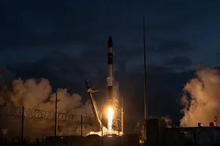
Eight Days A Week (StriX Launch 8)
March 20, 2026 · UTC
Rocket Lab · ElectronInsight At Speed Is A Friend Indeed (BlackSky Gen-3 4)
March 5, 2026 · UTC
Rocket Lab · Electron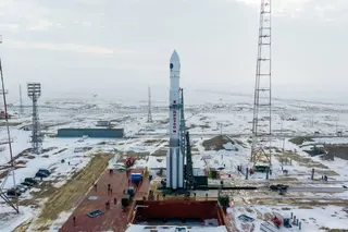
Elektro-L No.5
February 12, 2026 · UTC
Khrunichev State Research and Production Space Center · Proton-M Blok DM-03PRSC-EO2 & 6 satellites
February 12, 2026 · UTC
China Rocket Co. Ltd. · Smart Dragon 3AlSat 3B
January 31, 2026 · UTC
China Aerospace Science and Technology Corporation · Long March 2C
Bridging The Swarm (NeonSat-1A)
January 30, 2026 · UTC
Rocket Lab · ElectronAlSat 3A
January 15, 2026 · UTC
China Aerospace Science and Technology Corporation · Long March 2C
EOS-N1 and others
January 12, 2026 · UTC
Indian Space Research Organization · PSLV-DL
CSG-3
January 3, 2026 · UTC
SpaceX · Falcon 9 Block 5Tianhui 7
December 30, 2025 · UTC
China Aerospace Science and Technology Corporation · Long March 4B
AIST-2T 01 & 02
December 28, 2025 · UTC
Russian Federal Space Agency (ROSCOSMOS) · Soyuz 2.1b Fregat-M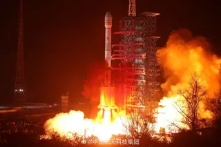
Fengyun-4C
December 26, 2025 · UTC
China Aerospace Science and Technology Corporation · Long March 3B/E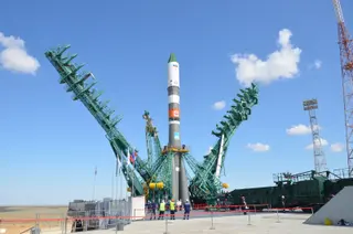
Obzor-R No.1
December 25, 2025 · UTC
Russian Federal Space Agency (ROSCOSMOS) · Soyuz 2.1aThe Wisdom God Guides (iQPS Launch 6)
December 21, 2025 · UTC
Rocket Lab · ElectronZiyuan-3-04
December 16, 2025 · UTC
China Aerospace Science and Technology Corporation · Long March 4B9 satellites
December 10, 2025 · UTC
CAS Space · Kinetica 1KOMPSAT-7
December 1, 2025 · UTC
Arianespace · Vega-CCAS500-3
November 26, 2025 · UTC
Korea Aerospace Research Institute · KSLV-2 Nuri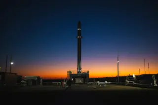
Follow My Speed (BlackSky Gen-3 3)
November 20, 2025 · UTC
Rocket Lab · Electron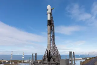
Sentinel-6B
November 17, 2025 · UTC
SpaceX · Falcon 9 Block 5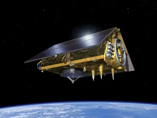
Sentinel-6B Prelaunch Media Teleconference
November 15, 2025 · UTC
National Aeronautics and Space AdministrationSentinel-6B Pre-Launch Media Briefing
November 13, 2025 · UTC
European Space Agency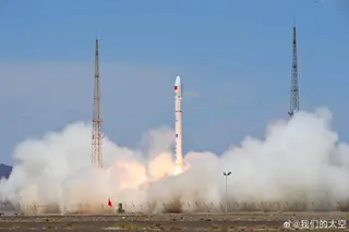
Jilin-1 High Resolution-04C and others
November 10, 2025 · UTC
Galactic Energy · Ceres-1Chutian-2 01 & 02
November 9, 2025 · UTC
CAS Space · Kinetica 1The Nation God Navigates (iQPS Launch 5)
November 5, 2025 · UTC
Rocket Lab · ElectronSentinel-1D Post-Launch Press Conference
November 4, 2025 · UTC
European Space AgencySentinel-1D
November 4, 2025 · UTC
Arianespace · Ariane 62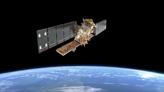
Sentinel-1D Pre-Launch Media Briefing
October 30, 2025 · UTC
European Space AgencyGaofen-14 02
October 26, 2025 · UTC
China Aerospace Science and Technology Corporation · Long March 3B/EPRSC-HS1 & AIRSAT-03/04
October 19, 2025 · UTC
CAS Space · Kinetica 1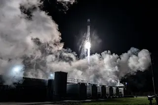
Owl New World (StriX Launch 7)
October 14, 2025 · UTC
Rocket Lab · Electron
3 satellites
October 11, 2025 · UTC
Orienspace Technology · Gravity-1Fengyun-3H
September 26, 2025 · UTC
China Aerospace Science and Technology Corporation · Long March 4CMetop-SG A1
August 13, 2025 · UTC
Arianespace · Ariane 62The Harvest Goddess Thrives (iQPS Launch 4)
August 5, 2025 · UTC
Rocket Lab · Electron
PRSC-S1
July 31, 2025 · UTC
ExPace · Kuaizhou 1ANISAR (NASA-ISRO Synthetic Aperture Radar)
July 30, 2025 · UTC
Indian Space Research Organization · GSLV Mk. II
Kunpeng-03
July 29, 2025 · UTC
i-Space · Hyperbola-1
NASA NISAR Pre-Launch Teleconference
July 28, 2025 · UTC
Jet Propulsion Laboratory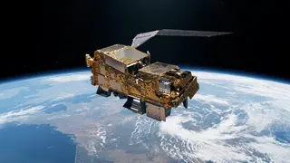
MetOp-SG A1 & Sentinel-5 Pre-Launch Media Briefing
July 28, 2025 · UTC
European Organisation for the Exploitation of Meteorological SatellitesCO3D & MicroCarb
July 26, 2025 · UTC
Arianespace · Vega-C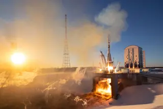
Ionosfera-M 3 & 4
July 25, 2025 · UTC
Russian Federal Space Agency (ROSCOSMOS) · Soyuz 2.1b Fregat-MNASA NISAR News Conference
July 21, 2025 · UTC
Indian Space Research OrganizationMTG-S1
July 1, 2025 · UTC
SpaceX · Falcon 9 Block 5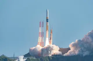
GOSAT-GW (Ibuki GW)
June 28, 2025 · UTC
Japan Aerospace Exploration Agency · H-IIA 202Get The Hawk Outta Here (4x HawkEye 360)
June 26, 2025 · UTC
Rocket Lab · ElectronZhangheng-1-02
June 14, 2025 · UTC
China Aerospace Science and Technology Corporation · Long March 2DThe Mountain God Guards (iQPS Launch 3)
June 11, 2025 · UTC
Rocket Lab · ElectronFull Stream Ahead (BlackSky Gen-3 2)
June 2, 2025 · UTC
Rocket Lab · Electron6 satellites
May 21, 2025 · UTC
CAS Space · Kinetica 1The Sea God Sees (iQPS Launch 2)
May 17, 2025 · UTC
Rocket Lab · ElectronBiomass
April 29, 2025 · UTC
Arianespace · Vega-CFinding Hot Wildfires Near You (OroraTech OTC-P1)
March 26, 2025 · UTC
Rocket Lab · ElectronYunyao-1 43-48
March 21, 2025 · UTC
Galactic Energy · Ceres-18 satellites
March 17, 2025 · UTC
Galactic Energy · Ceres-1SuperView Neo 3-02
March 15, 2025 · UTC
China Aerospace Science and Technology Corporation · Long March 2DThe Lightning God Reigns (iQPS Launch 1)
March 15, 2025 · UTC
Rocket Lab · ElectronSuperView Neo 1-03 & 04
February 27, 2025 · UTC
China Aerospace Science and Technology Corporation · Long March 2CFasten Your Space Belts (BlackSky Gen-3 1)
February 18, 2025 · UTC
Rocket Lab · ElectronWorldView Legion 5 & 6
February 4, 2025 · UTC
SpaceX · Falcon 9 Block 5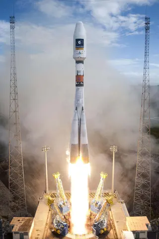
Metop-SG B1
日時未定
Arianespace · Soyuz STB Fregat5 satellites
January 20, 2025 · UTC
Galactic Energy · Ceres-1PRSC-EO1
January 17, 2025 · UTC
China Aerospace Science and Technology Corporation · Long March 2D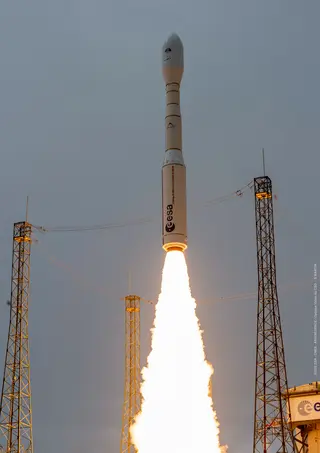
MicroCarb
日時未定
Arianespace · Vega-C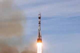
Resurs-P No.5
December 25, 2024 · UTC
Russian Federal Space Agency (ROSCOSMOS) · Soyuz 2.1bOwl The Way Up (StriX Launch 6)
December 21, 2024 · UTC
Rocket Lab · Electron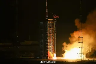
PIESAT-2 09-12
December 16, 2024 · UTC
China Aerospace Science and Technology Corporation · Long March 2D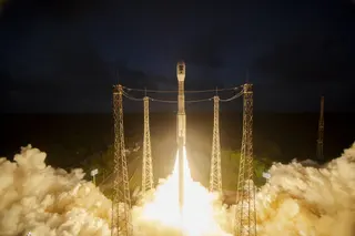
Sentinel-1C
December 5, 2024 · UTC
Arianespace · Vega-CHaishao-1
December 4, 2024 · UTC
ExPace · Kuaizhou 1A
Kondor-FKA No.2
November 29, 2024 · UTC
Russian Federal Space Agency (ROSCOSMOS) · Soyuz 2.1a Fregat-MSentinel-1C Pre-Launch Media Briefing
November 27, 2024 · UTC
European Space Agency
SuperView Neo 2-03 & 04
November 24, 2024 · UTC
China Aerospace Science and Technology Corporation · Long March 2CHaiyang 4-01
November 13, 2024 · UTC
China Aerospace Science and Technology Corporation · Long March 4B
PIESAT-2 01-04
November 9, 2024 · UTC
China Aerospace Science and Technology Corporation · Long March 2CIonosfera-M 1 & 2
November 4, 2024 · UTC
Russian Federal Space Agency (ROSCOSMOS) · Soyuz 2.1b Fregat-M
FLEX
日時未定
Arianespace · Vega-C
Gaofen-12 05
October 15, 2024 · UTC
China Aerospace Science and Technology Corporation · Long March 4C5 satellites
September 24, 2024 · UTC
CAS Space · Kinetica 1Jilin-1 Wideband 02B-01 to 06
September 20, 2024 · UTC
China Aerospace Science and Technology Corporation · Long March 2D
Sentinel-2C
September 5, 2024 · UTC
Arianespace · Vega6 satellites
August 29, 2024 · UTC
Galactic Energy · Ceres-1S
EOS-08/Microsat-2C
August 16, 2024 · UTC
Indian Space Research Organization · SSLV
WorldView Legion 3 & 4
August 15, 2024 · UTC
SpaceX · Falcon 9 Block 5A Sky Full of SARs (Capella Acadia 3)
August 11, 2024 · UTC
Rocket Lab · Electron
Owl For One, One For Owl (StriX Launch 5)
August 2, 2024 · UTC
Rocket Lab · Electron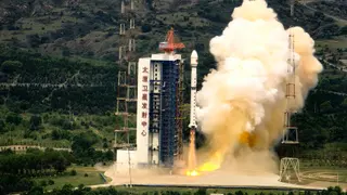
Gaofen-11-05
July 19, 2024 · UTC
China Aerospace Science and Technology Corporation · Long March 4BYunyao-1 15-17
July 10, 2024 · UTC
i-Space · Hyperbola-1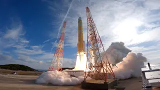
Advanced Land Observing Satellite-4 (ALOS-4)
July 1, 2024 · UTC
Mitsubishi Heavy Industries · H3-22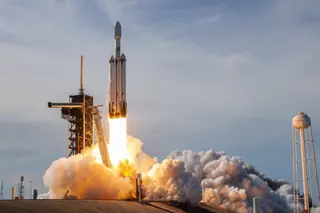
GOES-U
June 25, 2024 · UTC
SpaceX · Falcon Heavy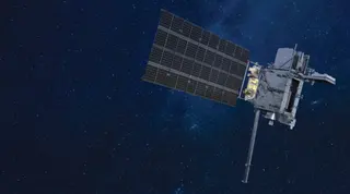
GOES-U Prelaunch News Conference
June 24, 2024 · UTC
National Aeronautics and Space AdministrationGOES-U Science Briefing
June 24, 2024 · UTC
National Aeronautics and Space Administration3 satellites
June 6, 2024 · UTC
Galactic Energy · Ceres-1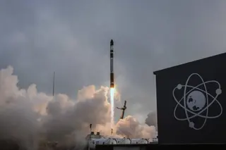
PREFIRE And Ice (PREFIRE 2)
June 5, 2024 · UTC
Rocket Lab · Electron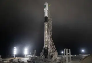
EarthCARE
May 28, 2024 · UTC
SpaceX · Falcon 9 Block 5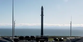
Ready, Aim, PREFIRE (PREFIRE 1)
May 25, 2024 · UTC
Rocket Lab · ElectronWuhan-1 and others
May 21, 2024 · UTC
ExPace · Kuaizhou 11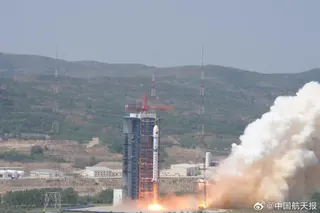
Beijing 3C
May 20, 2024 · UTC
China Aerospace Science and Technology Corporation · Long March 2D
NASA Prefire Pre-Launch Press Conference
May 15, 2024 · UTC
National Aeronautics and Space Administration
Maiden Flight
May 7, 2024 · UTC
China Aerospace Science and Technology Corporation · Long March 6C
WorldView Legion 1 & 2
May 2, 2024 · UTC
SpaceX · Falcon 9 Block 5
SuperView Neo 3-01
April 15, 2024 · UTC
China Aerospace Science and Technology Corporation · Long March 2D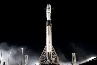
USSF-62
April 11, 2024 · UTC
SpaceX · Falcon 9 Block 5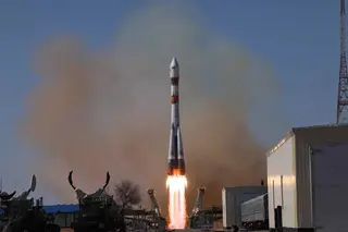
Resurs-P No.4
March 31, 2024 · UTC
Russian Federal Space Agency (ROSCOSMOS) · Soyuz 2.1b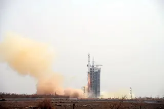
Yunhai-2 Group 02
March 21, 2024 · UTC
China Aerospace Science and Technology Corporation · Long March 2D/YZ-3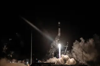
Owl Night Long (StriX-3)
March 12, 2024 · UTC
Rocket Lab · Electron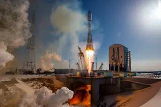
Meteor-M No.2-4 & others
February 29, 2024 · UTC
Russian Federal Space Agency (ROSCOSMOS) · Soyuz 2.1b Fregat-M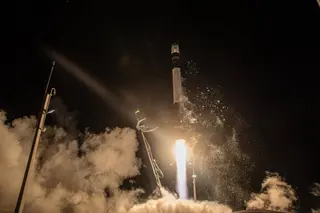
On Closer Inspection (ADRAS-J)
February 18, 2024 · UTC
Rocket Lab · Electron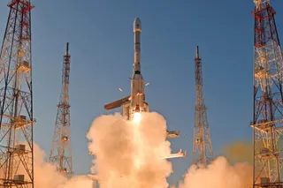
INSAT-3DS
February 17, 2024 · UTC
Indian Space Research Organization · GSLV Mk. II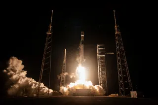
PACE (Plankton, Aerosol, Cloud, ocean Ecosystem)
February 8, 2024 · UTC
SpaceX · Falcon 9 Block 5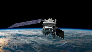
PACE Prelaunch News Conference
February 5, 2024 · UTC
National Aeronautics and Space Administration
NASA EDGE Pace Rollout Show
February 5, 2024 · UTC
National Aeronautics and Space AdministrationPACE Science Briefing
February 4, 2024 · UTC
National Aeronautics and Space Administration
Flight 3
January 23, 2024 · UTC
CAS Space · Kinetica 1
PACE Press Conference
January 17, 2024 · UTC
National Aeronautics and Space AdministrationMaiden flight
January 11, 2024 · UTC
Orienspace Technology · Gravity-1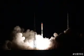
Tianmu-1 15-18
January 5, 2024 · UTC
ExPace · Kuaizhou 1A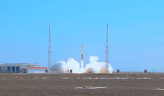
Tianmu-1 19-22
December 27, 2023 · UTC
ExPace · Kuaizhou 1A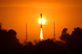
Tianmu-1 11-14
December 25, 2023 · UTC
ExPace · Kuaizhou 1A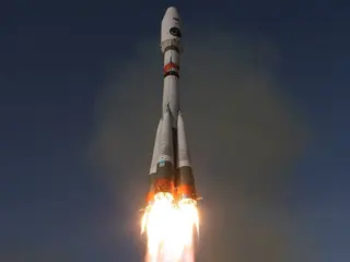
Arktika-M No.2
December 16, 2023 · UTC
Russian Federal Space Agency (ROSCOSMOS) · Soyuz 2.1b Fregat-M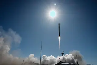
The Moon God Awakens (QPS-SAR-5)
December 15, 2023 · UTC
Rocket Lab · Electron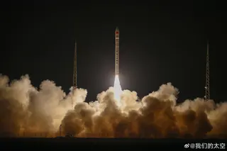
Tianyan-16 & Starpool-01A
December 4, 2023 · UTC
Galactic Energy · Ceres-1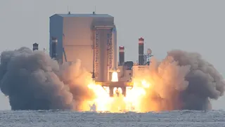
S-STEP
December 4, 2023 · UTC
Agency for Defense Development · Mir (3 stage)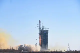
MisrSat-2
December 4, 2023 · UTC
China Aerospace Science and Technology Corporation · Long March 2C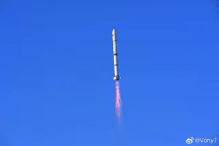
Haiyang 3-01
November 16, 2023 · UTC
China Aerospace Science and Technology Corporation · Long March 2C/YZ-1S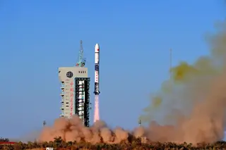
Yunhai-1-04
October 15, 2023 · UTC
China Aerospace Science and Technology Corporation · Long March 2DJilin-1 High Resolution 04B
September 21, 2023 · UTC
Galactic Energy · Ceres-1We Will Never Desert You (Capella Acadia 2)
September 19, 2023 · UTC
Rocket Lab · Electron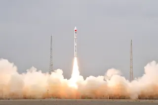
Jilin-1 Wideband-02A
August 25, 2023 · UTC
Galactic Energy · Ceres-1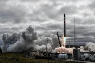
We Love the Nightlife (Capella Acadia 1)
August 23, 2023 · UTC
Rocket Lab · Electron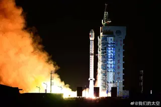
Gaofen-12 04
August 20, 2023 · UTC
China Aerospace Science and Technology Corporation · Long March 4C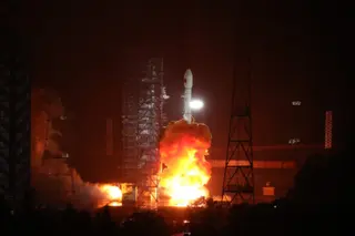
L-SAR4-01 (LTDC-4A)
August 12, 2023 · UTC
China Aerospace Science and Technology Corporation · Long March 3B/E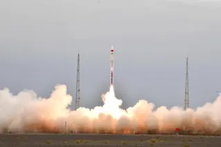
7 satellites
August 10, 2023 · UTC
Galactic Energy · Ceres-1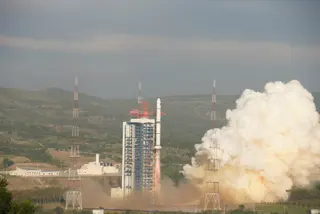
5 m S-SAR-02 (Huanjing-2F)
August 8, 2023 · UTC
China Aerospace Science and Technology Corporation · Long March 2C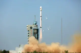
Fengyun-3F
August 3, 2023 · UTC
China Aerospace Science and Technology Corporation · Long March 4C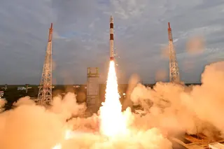
DS-SAR
July 30, 2023 · UTC
Indian Space Research Organization · PSLV-CA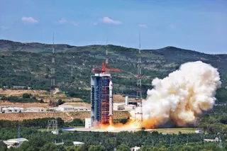
Skysight AS-01 to 03 & Lingxi-03
July 23, 2023 · UTC
China Aerospace Science and Technology Corporation · Long March 2D
Qiankun-1 & Xingshidai‐16
July 22, 2023 · UTC
Galactic Energy · Ceres-1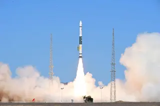
Tianmu-1 07-10
July 20, 2023 · UTC
ExPace · Kuaizhou 1A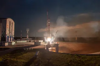
Meteor-M No.2-3 & others
June 27, 2023 · UTC
Russian Federal Space Agency (ROSCOSMOS) · Soyuz 2.1b Fregat-M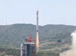
41 x Jilin-1
June 15, 2023 · UTC
China Aerospace Science and Technology Corporation · Long March 2D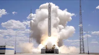
Flight 2
June 7, 2023 · UTC
CAS Space · Kinetica 1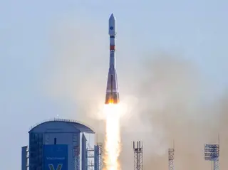
Kondor-FKA No.1
May 26, 2023 · UTC
Russian Federal Space Agency (ROSCOSMOS) · Soyuz 2.1a Fregat-M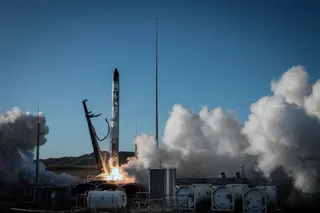
TROPICS-3
May 26, 2023 · UTC
Rocket Lab · ElectronNEXTSat-2 & SNIPE
May 25, 2023 · UTC
Korea Aerospace Research Institute · KSLV-2 Nuri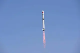
MUST-1A/B & Luojia-2 01
May 21, 2023 · UTC
China Aerospace Science and Technology Corporation · Long March 2C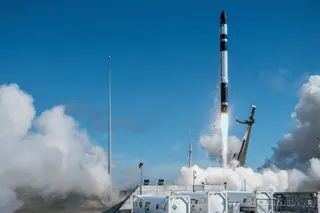
TROPICS-2
May 8, 2023 · UTC
Rocket Lab · Electron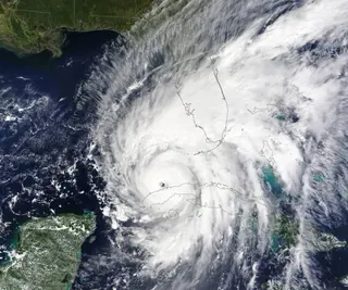
NASA TROPICS Teleconference
April 28, 2023 · UTC
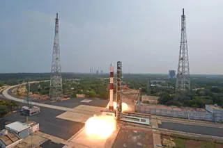
TeLEOS-2
April 22, 2023 · UTC
Indian Space Research Organization · PSLV-CA
Fengyun-3G
April 16, 2023 · UTC
China Aerospace Science and Technology Corporation · Long March 4B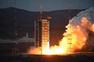
PIESAT-1 x 4
March 30, 2023 · UTC
China Aerospace Science and Technology Corporation · Long March 2D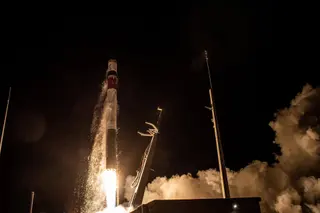
The Beat Goes On (BlackSky 18-19)
March 24, 2023 · UTC
Rocket Lab · Electron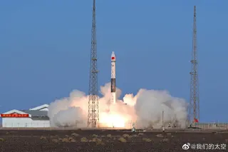
Tianmu-1 03-06
March 22, 2023 · UTC
ExPace · Kuaizhou 1A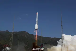
Gaofen 13-02
March 17, 2023 · UTC
China Aerospace Science and Technology Corporation · Long March 3B/E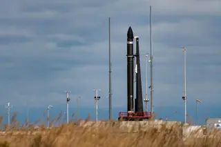
Stronger Together (Capella 9-10)
March 16, 2023 · UTC
Rocket Lab · Electron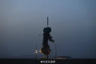
Shiyan 19
March 15, 2023 · UTC
China Aerospace Science and Technology Corporation · Long March 11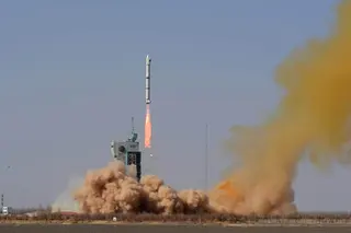
Horus 2
March 13, 2023 · UTC
China Aerospace Science and Technology Corporation · Long March 2C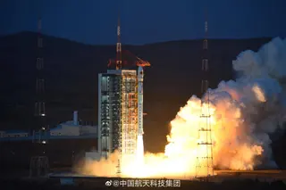
Tianhui-6 A/B
March 9, 2023 · UTC
China Aerospace Science and Technology Corporation · Long March 4C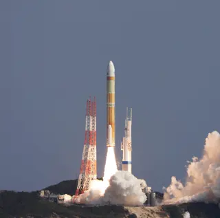
ALOS-3 (Maiden flight)
March 7, 2023 · UTC
Mitsubishi Heavy Industries · H3-22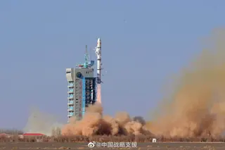
Horus 1
February 24, 2023 · UTC
China Aerospace Science and Technology Corporation · Long March 2C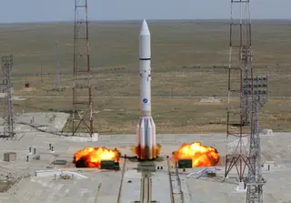
Elektro-L No.4
February 5, 2023 · UTC
Khrunichev State Research and Production Space Center · Proton-M Blok DM-03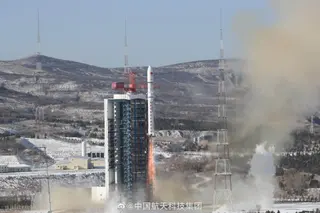
6 x Jilin-1, Qilu-2/3 & others
January 15, 2023 · UTC
China Aerospace Science and Technology Corporation · Long March 2D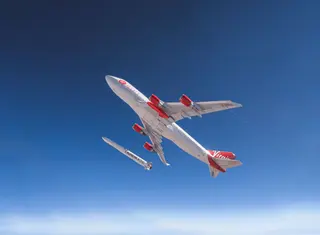
Start Me Up
January 9, 2023 · UTC
Virgin Orbit · LauncherOne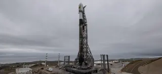
EROS-C3
December 30, 2022 · UTC
SpaceX · Falcon 9 Block 5Gaofen-11-04
December 27, 2022 · UTC
China Aerospace Science and Technology Corporation · Long March 4B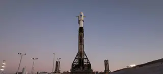
SWOT (Surface Water and Ocean Topography)
December 16, 2022 · UTC
SpaceX · Falcon 9 Block 5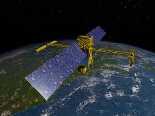
NASA SWOT Pre-Launch News Conference
December 14, 2022 · UTC
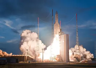
Galaxy 35 & 36, MTG-I1
December 13, 2022 · UTC
Arianespace · Ariane 5 ECA+NASA SWOT Science Briefing
December 13, 2022 · UTC
Gaofen-5-01A
December 8, 2022 · UTC
China Aerospace Science and Technology Corporation · Long March 2DEOS-6 (Oceansat-3) & rideshare
November 26, 2022 · UTC
Indian Space Research Organization · PSLV XL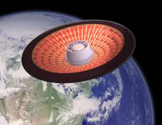
NASA LOFTID First Results Media Briefing
November 17, 2022 · UTC
Jilin-1 High Resolution 03D-08, 51 to 54
November 16, 2022 · UTC
Galactic Energy · Ceres-1NASA SWOT Pre-Launch Briefing
November 14, 2022 · UTC
JPSS 2 (Joint Polar Satellite System spacecraft No. 2) & LOFTID
November 10, 2022 · UTC
United Launch Alliance · Atlas V 401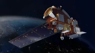
JPSS-2 Science and Technology Briefing
November 8, 2022 · UTC
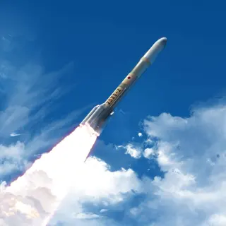
JAXA H3 Captive Firing Test
November 7, 2022 · UTC
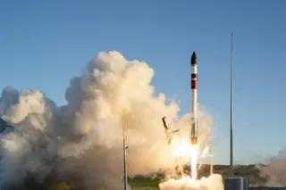
Catch Me If You Can (MATS)
November 4, 2022 · UTC
Rocket Lab · ElectronJPSS-2 Pre-Launch News Conference
October 28, 2022 · UTC
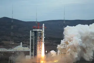
5 m S-SAR-01 (Huanjing-2E)
October 12, 2022 · UTC
China Aerospace Science and Technology Corporation · Long March 2CYunhai-1-03
September 20, 2022 · UTC
China Aerospace Science and Technology Corporation · Long March 2DThe Owl Spreads Its Wings (StriX 1)
September 15, 2022 · UTC
Rocket Lab · ElectronBeijing-3B
August 24, 2022 · UTC
China Aerospace Science and Technology Corporation · Long March 2DJilin-1 High Resolution 03D-09, 35 to 43 & Infrared A01 to 06
August 10, 2022 · UTC
China Aerospace Science and Technology Corporation · Long March 6Khayyam & rideshare
August 9, 2022 · UTC
Russian Federal Space Agency (ROSCOSMOS) · Soyuz 2.1b Fregat-MTaijing-1-01 & 02
August 9, 2022 · UTC
Galactic Energy · Ceres-1Terrestrial Ecosystem Carbon Inventory Satellite (TECIS)
August 4, 2022 · UTC
China Aerospace Science and Technology Corporation · Long March 4BSuperView Neo 2-01 & 02
July 15, 2022 · UTC
China Aerospace Science and Technology Corporation · Long March 2CLARES-2 (Maiden flight)
July 13, 2022 · UTC
European Space Agency · Vega-C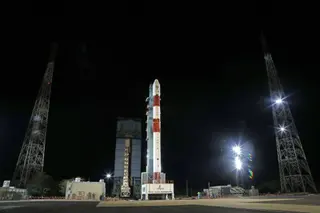
DS-EO & others
June 30, 2022 · UTC
Indian Space Research Organization · PSLV-CAGaofen-12-03
June 27, 2022 · UTC
China Aerospace Science and Technology Corporation · Long March 4C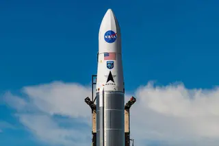
TROPICS-1
June 12, 2022 · UTC
Astra Space · Astra Rocket 3Jilin-1 Mofang-01A(R)
May 13, 2022 · UTC
i-Space · Hyperbola-1Jilin-1 Wideband-01C & High Resolution 03D-27 to 33
May 5, 2022 · UTC
China Aerospace Science and Technology Corporation · Long March 2D
Jilin-1 Gaofen 03D-04 to 07 & 04A
April 30, 2022 · UTC
China Aerospace Science and Technology Corporation · Long March 11SuperView Neo 1-01 & 02
April 29, 2022 · UTC
China Aerospace Science and Technology Corporation · Long March 2CDaqi-1 (AEMS)
April 15, 2022 · UTC
China Aerospace Science and Technology Corporation · Long March 4CGaofen-3 03
April 6, 2022 · UTC
China Aerospace Science and Technology Corporation · Long March 4C
Without Mission A Beat (BlackSky 16-17)
April 2, 2022 · UTC
Rocket Lab · Electron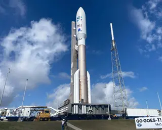
GOES-T
March 1, 2022 · UTC
United Launch Alliance · Atlas V 541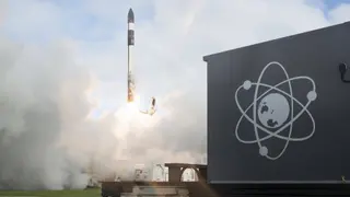
The Owl’s Night Continues (StriX-β)
February 28, 2022 · UTC
Rocket Lab · Electron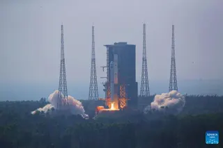
Hainan-1 to 4 & others
February 27, 2022 · UTC
China Aerospace Science and Technology Corporation · Long March 8 (Core Only)L-SAR 01B
February 26, 2022 · UTC
China Aerospace Science and Technology Corporation · Long March 4CEOS-4 (RISAT-1A)
February 14, 2022 · UTC
Indian Space Research Organization · PSLV XL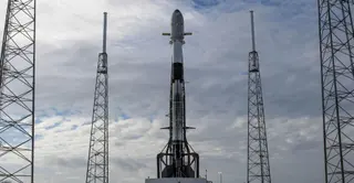
CSG-2
January 31, 2022 · UTC
SpaceX · Falcon 9 Block 5L-SAR 01A
January 25, 2022 · UTC
China Aerospace Science and Technology Corporation · Long March 4CTianhui 4
December 29, 2021 · UTC
China Aerospace Science and Technology Corporation · Long March 2DZhiyuan 1-02E
December 26, 2021 · UTC
China Aerospace Science and Technology Corporation · Long March 4CA Data With Destiny (BlackSky 14-15)
December 9, 2021 · UTC
Rocket Lab · ElectronGaofen-3 02
November 22, 2021 · UTC
China Aerospace Science and Technology Corporation · Long March 4CGaofen-11-03
November 20, 2021 · UTC
China Aerospace Science and Technology Corporation · Long March 4BLove At First Insight (BlackSky 10-11)
November 18, 2021 · UTC
Rocket Lab · ElectronSDGSAT-1
November 5, 2021 · UTC
China Aerospace Science and Technology Corporation · Long March 6Jilin-1-02F
October 27, 2021 · UTC
ExPace · Kuaizhou 1ALandsat 9
September 27, 2021 · UTC
United Launch Alliance · Atlas V 401Jilin-1-02D
September 27, 2021 · UTC
ExPace · Kuaizhou 1AGaofen-5-02
September 7, 2021 · UTC
China Aerospace Science and Technology Corporation · Long March 4CTianhui-2-02
August 18, 2021 · UTC
China Aerospace Science and Technology Corporation · Long March 4BGISAT-1
August 12, 2021 · UTC
Indian Space Research Organization · GSLV Mk. IIJilin-1 Mofang-01A (?)
August 3, 2021 · UTC
i-Space · Hyperbola-1Tianhui-1-04
July 29, 2021 · UTC
China Aerospace Science and Technology Corporation · Long March 2DZhongzi Group 02 (Ningxia-1-02)
July 9, 2021 · UTC
China Aerospace Science and Technology Corporation · Long March 6Fengyun-3E
July 4, 2021 · UTC
China Aerospace Science and Technology Corporation · Long March 4CJilin-1 Wideband-01B & High Resolution 03D
July 3, 2021 · UTC
China Aerospace Science and Technology Corporation · Long March 2DBeijing-3
June 11, 2021 · UTC
China Aerospace Science and Technology Corporation · Long March 2D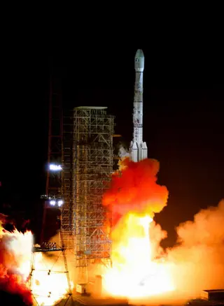
Fengyun-4B
June 2, 2021 · UTC
China Aerospace Science and Technology Corporation · Long March 3BHaiyang 2D
May 19, 2021 · UTC
China Aerospace Science and Technology Corporation · Long March 4B
Running Out of Toes (BlackSky 8-9)
May 15, 2021 · UTC
Rocket Lab · ElectronGaofen-12-02
March 30, 2021 · UTC
China Aerospace Science and Technology Corporation · Long March 4C
CAS500-1 & rideshare
March 22, 2021 · UTC
GK Launch Services · Soyuz 2.1a Fregat-MArktika-M No.1
February 28, 2021 · UTC
Russian Federal Space Agency (ROSCOSMOS) · Soyuz 2.1b Fregat-MAmazonia & 18 others
February 28, 2021 · UTC
Indian Space Research Organization · PSLV-DLThe Owl's Night Begins (StriX-α)
December 15, 2020 · UTC
Rocket Lab · ElectronGaofen 14
December 6, 2020 · UTC
China Aerospace Science and Technology Corporation · Long March 3B/E
Sentinel-6 Michael Freilich (Sentinel-6A; Jason-CS)
November 21, 2020 · UTC
SpaceX · Falcon 9 Block 5
Arianespace VV17 failure press conference
November 17, 2020 · UTC
SEOSAT-Ingenio & Taranis
November 17, 2020 · UTC
Arianespace · VegaEOS-01 (RISAT-2BR2)
November 7, 2020 · UTC
Indian Space Research Organization · PSLV-DLSatellogic x 10
November 6, 2020 · UTC
China Aerospace Science and Technology Corporation · Long March 6Gaofen 13
October 11, 2020 · UTC
China Aerospace Science and Technology Corporation · Long March 3B/EHuanjing 2A, 2B
September 27, 2020 · UTC
China Aerospace Science and Technology Corporation · Long March 4BHaiyang 2C
September 21, 2020 · UTC
China Aerospace Science and Technology Corporation · Long March 4BJilin-1 High Resolution 03B 01-06 & 03C 01-03
September 15, 2020 · UTC
China Aerospace Science and Technology Corporation · Long March 11Jilin-1-02C
September 12, 2020 · UTC
ExPace · Kuaizhou 1AGaofen-11-02
September 7, 2020 · UTC
China Aerospace Science and Technology Corporation · Long March 4BI Can’t Believe It’s Not Optical (Capella 2 & First Light)
August 31, 2020 · UTC
Rocket Lab · ElectronGaofen-9-05
August 23, 2020 · UTC
China Aerospace Science and Technology Corporation · Long March 2DGaofen-9-04
August 6, 2020 · UTC
China Aerospace Science and Technology Corporation · Long March 2DZiyuan-3-03
July 25, 2020 · UTC
China Aerospace Science and Technology Corporation · Long March 4BGaofen Multimode
July 3, 2020 · UTC
China Aerospace Science and Technology Corporation · Long March 4BGaofen-9-03
June 17, 2020 · UTC
China Aerospace Science and Technology Corporation · Long March 2DHaiyang 1D
June 10, 2020 · UTC
China Aerospace Science and Technology Corporation · Long March 2CGaofen-9-02
May 31, 2020 · UTC
China Aerospace Science and Technology Corporation · Long March 2DXJS-G & XJS-H
May 29, 2020 · UTC
China Aerospace Science and Technology Corporation · Long March 11XJS-C, XJS-D, XJS-E, XJS-F
February 19, 2020 · UTC
China Aerospace Science and Technology Corporation · Long March 2DZafar-1
February 9, 2020 · UTC
Iranian Space Agency · SimorghElektro-L No.3
December 24, 2019 · UTC
Khrunichev State Research and Production Space Center · Proton-M Blok DM-03CBERS-4A
December 20, 2019 · UTC
China Aerospace Science and Technology Corporation · Long March 4B
RISAT-2BR1 & others
December 11, 2019 · UTC
Indian Space Research Organization · PSLV-QLJilin-1-02B
December 7, 2019 · UTC
ExPace · Kuaizhou 1AGaofen-12
November 27, 2019 · UTC
China Aerospace Science and Technology Corporation · Long March 4CCartosat-3 & others
November 27, 2019 · UTC
Indian Space Research Organization · PSLV XLNingxia 1 (x5)
November 13, 2019 · UTC
China Aerospace Science and Technology Corporation · Long March 6Jilin-1-02A
November 13, 2019 · UTC
ExPace · Kuaizhou 1AGaofen-7
November 3, 2019 · UTC
China Aerospace Science and Technology Corporation · Long March 4BAs The Crow Flies (Palisade)
October 17, 2019 · UTC
Rocket Lab · Electron
Ionospheric Connection Explorer (ICON)
October 11, 2019 · UTC
Northrop Grumman Space Systems · Pegasus XLGaofen-10R
October 4, 2019 · UTC
China Aerospace Science and Technology Corporation · Long March 4CYunhai-1-02
September 25, 2019 · UTC
China Aerospace Science and Technology Corporation · Long March 2D
Geo-IK-2 N13L (Kosmos 2540)
August 30, 2019 · UTC
Russian Space Forces · Rokot/Briz-KMMeteor-M No.2-2 & rideshare payloads
July 5, 2019 · UTC
Russian Federal Space Agency (ROSCOSMOS) · Soyuz 2.1b FregatRADARSAT Constellation
June 12, 2019 · UTC
SpaceX · Falcon 9 Block 5Jilin-1 & others
June 5, 2019 · UTC
China Aerospace Science and Technology Corporation · Long March 11RISAT-2B
May 22, 2019 · UTC
Indian Space Research Organization · PSLV-CA
NS-11
May 2, 2019 · UTC
Blue Origin · New ShepardTianhui-2-01
April 29, 2019 · UTC
China Aerospace Science and Technology Corporation · Long March 4BLingque-1B
March 27, 2019 · UTC
OneSpace · OS-M1PRISMA
March 22, 2019 · UTC
Arianespace · VegaEgyptSat-A
February 21, 2019 · UTC
Russian Federal Space Agency (ROSCOSMOS) · Soyuz 2.1b Fregat-MDoosti
February 5, 2019 · UTC
Iranian Space Agency · Safir 1BMicrosat-R
January 24, 2019 · UTC
Indian Space Research Organization · PSLV-DLNS-10
January 23, 2019 · UTC
Blue Origin · New ShepardJilin-1 Hyperspectral 01, 02, Xiaoxiang-1-03, Lingque-1A
January 21, 2019 · UTC
China Aerospace Science and Technology Corporation · Long March 11Payam
January 15, 2019 · UTC
Iranian Space Agency · Simorgh
Kanopus-V No.5 & Kanopus-V No.6
December 27, 2018 · UTC
Russian Federal Space Agency (ROSCOSMOS) · Soyuz 2.1a Fregat-MSaudiSat 5A & 5B
December 7, 2018 · UTC
China Aerospace Science and Technology Corporation · Long March 2DHysIS
November 29, 2018 · UTC
Indian Space Research Organization · PSLV-CAMohammed VI-B
November 21, 2018 · UTC
Arianespace · Vega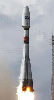
MetOp-C
November 7, 2018 · UTC
Arianespace · Soyuz STB Fregat-MTKhalifaSat & GOSAT-2
October 29, 2018 · UTC
Mitsubishi Heavy Industries · H-IIA 202CFOSAT
October 29, 2018 · UTC
China Aerospace Science and Technology Corporation · Long March 2CWeilai-1 (Future-1)
October 27, 2018 · UTC
LandSpace · Zhuque-1Haiyang 2B
October 24, 2018 · UTC
China Aerospace Science and Technology Corporation · Long March 4BSSTL-S1 & NovaSAR-S
September 16, 2018 · UTC
Indian Space Research Organization · PSLV-CA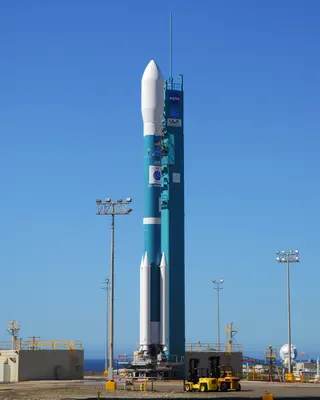
ICESat-2
September 15, 2018 · UTC
United Launch Alliance · Delta II 7420-10CHaiyang 1C
September 7, 2018 · UTC
China Aerospace Science and Technology Corporation · Long March 2CADM-Aeolus
August 22, 2018 · UTC
Arianespace · VegaGaofen-11
July 31, 2018 · UTC
China Aerospace Science and Technology Corporation · Long March 4BNS-9
July 18, 2018 · UTC
Blue Origin · New Shepard
PRSS-1 & PakTes-1A
July 9, 2018 · UTC
China Aerospace Science and Technology Corporation · Long March 2C/SMA
Fengyun-2H
June 5, 2018 · UTC
China Aerospace Science and Technology Corporation · Long March 3AGaofen 6 & Luojia-1
June 2, 2018 · UTC
China Aerospace Science and Technology Corporation · Long March 2DGaofen 5
May 8, 2018 · UTC
China Aerospace Science and Technology Corporation · Long March 4CNS-8
April 29, 2018 · UTC
Blue Origin · New ShepardZhuhai-1-02
April 26, 2018 · UTC
China Aerospace Science and Technology Corporation · Long March 11Sentinel-3B
April 25, 2018 · UTC
Eurockot Launch Services · Rokot/Briz-KMGaofen 1-02, 1-03 & 1-04
March 31, 2018 · UTC
China Aerospace Science and Technology Corporation · Long March 4CLand Survey Satellite-4
March 17, 2018 · UTC
China Aerospace Science and Technology Corporation · Long March 2D
GOES-S
March 1, 2018 · UTC
United Launch Alliance · Atlas V 541TRICOM-1R
February 3, 2018 · UTC
Japan Aerospace Exploration Agency · SS-520-5Kanopus-V No.3 & Kanopus-V No.4
February 1, 2018 · UTC
Russian Federal Space Agency (ROSCOSMOS) · Soyuz 2.1a Fregat-MJilin-1-07 (Deqing-1), Jilin-1-08
January 19, 2018 · UTC
China Aerospace Science and Technology Corporation · Long March 11
ASNARO-2
January 17, 2018 · UTC
Japan Aerospace Exploration Agency · EpsilonCartosat-2F (Cartosat-2S4)
January 12, 2018 · UTC
Indian Space Research Organization · PSLV XLSuperView-1 (Gaojing 1-03 & Gaojing 1-04)
January 9, 2018 · UTC
China Aerospace Science and Technology Corporation · Long March 2DGCOM-C1 & SLATS
December 23, 2017 · UTC
Mitsubishi Heavy Industries · H-IIA 202NS-7
December 12, 2017 · UTC
Blue Origin · New ShepardMeteor-M No.2-1 & rideshare payloads
November 28, 2017 · UTC
Russian Federal Space Agency (ROSCOSMOS) · Soyuz 2.1b FregatJilin-1-04, Jilin-1-05 & Jilin-1-06
November 21, 2017 · UTC
China Aerospace Science and Technology Corporation · Long March 6
JPSS 1 (Joint Polar Satellite System spacecraft No. 1)
November 18, 2017 · UTC
United Launch Alliance · Delta II 7920-10Fengyun-3D
November 14, 2017 · UTC
China Aerospace Science and Technology Corporation · Long March 4CMohammed VI-A
November 8, 2017 · UTC
Arianespace · VegaSentinel-5P
October 13, 2017 · UTC
Eurockot Launch Services · Rokot/Briz-KMVRSS-2 (Antonio José de Sucre)
October 9, 2017 · UTC
China Aerospace Science and Technology Corporation · Long March 2D
Formosat 5
August 24, 2017 · UTC
SpaceX · Falcon 9 Full ThrustOptSat 3000 & VENµS (VENUS)
August 2, 2017 · UTC
Arianespace · VegaKanopus-V-IK
July 14, 2017 · UTC
Russian Federal Space Agency (ROSCOSMOS) · Soyuz 2.1a Fregat-MCartosat-2E
June 23, 2017 · UTC
Indian Space Research Organization · PSLV XLSentinel-2A
March 7, 2017 · UTC
Arianespace · VegaCartosat-2D & 103 others
February 15, 2017 · UTC
Indian Space Research Organization · PSLV XLTRICOM-1
January 14, 2017 · UTC
Japan Aerospace Exploration Agency · SS-520-4Multiple payloads
January 9, 2017 · UTC
ExPace · Kuaizhou 1AGaojing-1
December 28, 2016 · UTC
China Aerospace Science and Technology Corporation · Long March 2DTansat (CarbonSat)
December 21, 2016 · UTC
China Aerospace Science and Technology Corporation · Long March 2DERG (Exploration of energization and Radiation in Geospace)
December 20, 2016 · UTC
Japan Aerospace Exploration Agency · Epsilon8 x CYGNSS
December 15, 2016 · UTC
Orbital ATK · Pegasus XLFengyun-4A
December 10, 2016 · UTC
China Aerospace Science and Technology Corporation · Long March 3BResourcesat-2A
December 7, 2016 · UTC
Indian Space Research Organization · PSLV XLGöktürk-1A
December 5, 2016 · UTC
Arianespace · VegaGOES-R
November 19, 2016 · UTC
United Launch Alliance · Atlas V 541Yunhai 1-01
November 11, 2016 · UTC
China Aerospace Science and Technology Corporation · Long March 2DWorldView-4
November 11, 2016 · UTC
United Launch Alliance · Atlas V 401Himawari-9
November 2, 2016 · UTC
Mitsubishi Heavy Industries · H-IIA 202SCATSat-1
September 26, 2016 · UTC
Indian Space Research Organization · PSLVPerúSAT-1 / SkySat x 4
September 16, 2016 · UTC
Arianespace · VegaINSAT-3DR
September 8, 2016 · UTC
Indian Space Research Organization · GSLV Mk. IIGaofen 10
August 31, 2016 · UTC
China Aerospace Science and Technology Corporation · Long March 4CGaofen 3
August 9, 2016 · UTC
China Aerospace Science and Technology Corporation · Long March 4CCartosat 2C & 19 small satellites
June 22, 2016 · UTC
Indian Space Research Organization · PSLV XLGeo-IK-2 No.12L (Kosmos 2517)
June 4, 2016 · UTC
Russian Space Forces · Rokot/Briz-KMZiyuan 3-02 & ÑuSat-1 & -2 (Fresco and Batata)
May 30, 2016 · UTC
China Aerospace Science and Technology Corporation · Long March 4BMikhailo Lomonosov, Aist-2D & SamSat 218
April 28, 2016 · UTC
Russian Federal Space Agency (ROSCOSMOS) · Soyuz 2.1a Volga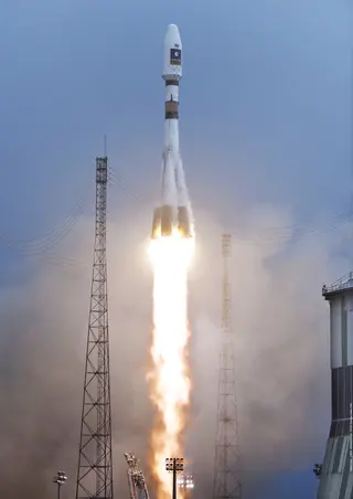
Sentinel-1B
April 25, 2016 · UTC
Arianespace · Soyuz STA FregatShijian-10
April 5, 2016 · UTC
China Aerospace Science and Technology Corporation · Long March 2DResurs-P No.3
March 13, 2016 · UTC
Russian Federal Space Agency (ROSCOSMOS) · Soyuz 2.1bSentinel-3A
February 16, 2016 · UTC
Eurockot Launch Services · Rokot/Briz-KM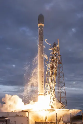
Jason 3
January 17, 2016 · UTC
SpaceX · Falcon 9 v1.1Gaofen 4
December 28, 2015 · UTC
China Aerospace Science and Technology Corporation · Long March 3B/ETeLEOS-1
December 16, 2015 · UTC
Antrix Corporation Limited · PSLV-CAElectro-L No.2
December 11, 2015 · UTC
Russian Federal Space Agency (ROSCOSMOS) · ZenitJilin-1
October 7, 2015 · UTC
China Aerospace Science and Technology Corporation · Long March 2DDMC-3, CBNT-1 & DeOrbitSAIL
July 10, 2015 · UTC
Antrix Corporation Limited · PSLV XLDSCOVR
February 11, 2015 · UTC
SpaceX · Falcon 9 v1.1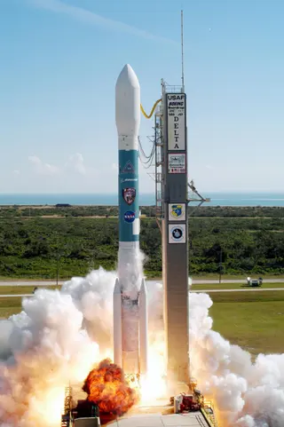
SMAP, FIREBIRD II A, FIREBIRD II B, GRIFEX, ExoCube
January 31, 2015 · UTC
United Launch Alliance · Delta II 7320-10CHimawari-8
October 7, 2014 · UTC
Mitsubishi Heavy Industries · H-IIA 202WorldView-3
August 13, 2014 · UTC
United Launch Alliance · Atlas V 401ALOS-2
May 24, 2014 · UTC
Mitsubishi Heavy Industries · H-IIA 202DZZ-HR
April 30, 2014 · UTC
Arianespace · Vega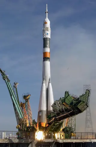
EgyptSat 2
April 16, 2014 · UTC
Russian Federal Space Agency (ROSCOSMOS) · Soyuz USentinel-1A
April 3, 2014 · UTC
Arianespace · Soyuz STA Fregat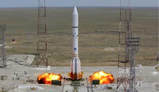
Express AT1 & AT2
March 15, 2014 · UTC
Khrunichev State Research and Production Space Center · Proton-M Briz-MGPM Core
February 27, 2014 · UTC
Mitsubishi Heavy Industries · H-IIA 202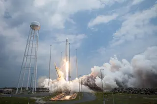
Cygnus CRS Orb-1 (S.S. C. Gordon Fullerton)
January 9, 2014 · UTC
Orbital Sciences Corporation · Antares 120Thaicom-6
January 6, 2014 · UTC
SpaceX · Falcon 9 v1.1CBERS-3
December 9, 2013 · UTC
China Aerospace Science and Technology Corporation · Long March 4BSwarm A, B, C
November 22, 2013 · UTC
Eurockot Launch Services · Rokot/Briz-KMCASSIOPE
September 29, 2013 · UTC
SpaceX · Falcon 9 v1.1Resurs-P No.1
June 25, 2013 · UTC
Russian Federal Space Agency (ROSCOSMOS) · Soyuz 2.1bProba-V and VNREDSat 1A
May 7, 2013 · UTC
Arianespace · VegaLandsat 8 (DCM)
February 11, 2013 · UTC
United Launch Alliance · Atlas V 401MetOp-B
September 17, 2012 · UTC
Starsem SA · Soyuz 2.1a Fregat-MRadiation Belt Storm Probe A
August 30, 2012 · UTC
United Launch Alliance · Atlas V 401GCOM-W1
May 17, 2012 · UTC
Mitsubishi Heavy Industries · H-IIA 202Yaogan 12 & Tianxun-1
November 9, 2011 · UTC
China Aerospace Science and Technology Corporation · Long March 4B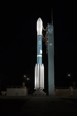
Delta II 7920-10C | NPP
October 28, 2011 · UTC
United Launch Alliance · Delta II 7920-10CGeo-IK-2 No.11L (Kosmos 2470)
February 1, 2011 · UTC
Russian Space Forces · Rokot/Briz-KMElektro-L No.1
January 20, 2011 · UTC
Russian Federal Space Agency (ROSCOSMOS) · ZenitCartosat-2B, AlSat-2A, StudSat, AISSat-1, TIsat-1
July 12, 2010 · UTC
Indian Space Research Organization · PSLV-CAYaogan Weixing 7
December 9, 2009 · UTC
China Aerospace Science and Technology Corporation · Long March 2DSMOS
November 2, 2009 · UTC
Eurockot Launch Services · Rokot/Briz-KMDMSP-5D3 F18 (USA-210)
October 18, 2009 · UTC
United Launch Alliance · Atlas V 401WorldView-2
October 8, 2009 · UTC
United Launch Alliance · Delta II 7920-10COceansat-2
September 23, 2009 · UTC
Indian Space Research Organization · PSLV-CAMeteor-M 1
September 17, 2009 · UTC
Russian Federal Space Agency (ROSCOSMOS) · Soyuz 2.1b Fregat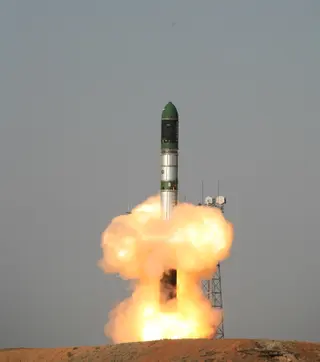
DubaiSat 1
July 29, 2009 · UTC
ISC Kosmotras · Dnepr 1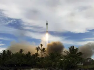
RazakSAT
July 14, 2009 · UTC
SpaceX · Falcon 1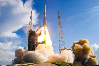
GOES-14
June 27, 2009 · UTC
United Launch Alliance · Delta IV M+(4,2)Yaogan Weixing 6
April 22, 2009 · UTC
China Aerospace Science and Technology Corporation · Long March 2CRISAT-2
April 20, 2009 · UTC
Indian Space Research Organization · PSLV-CAGOCE
March 17, 2009 · UTC
Eurockot Launch Services · Rokot/Briz-KMOCO
February 24, 2009 · UTC
Orbital Sciences Corporation · Minotaur-C 3110NOAA-19 (NOAA N)
February 6, 2009 · UTC
United Launch Alliance · Delta II 7320-10CGOSAT
January 23, 2009 · UTC
Japan Aerospace Exploration Agency · H-IIA 202Feng Yun 2E
December 23, 2008 · UTC
China Aerospace Science and Technology Corporation · Long March 3AYaogan Weixing 5
December 15, 2008 · UTC
China Aerospace Science and Technology Corporation · Long March 4BYaogan Weixing 4
December 1, 2008 · UTC
China Aerospace Science and Technology Corporation · Long March 2DShiyan Weixing 3
November 5, 2008 · UTC
China Aerospace Science and Technology Corporation · Long March 2DThaichote
October 1, 2008 · UTC
ISC Kosmotras · Dnepr 1GeoEye-1
September 6, 2008 · UTC
United Launch Alliance · Delta II 7420-10CHuan Jing 1A & 1B
September 6, 2008 · UTC
China Aerospace Science and Technology Corporation · Long March 2C/SMARapidEye 1 to 5
August 29, 2008 · UTC
ISC Kosmotras · Dnepr 1Jason-2
June 20, 2008 · UTC
United Launch Alliance · Delta II 7320Feng Yun 3A
May 27, 2008 · UTC
China Aerospace Science and Technology Corporation · Long March 4CCartosat 2A
April 28, 2008 · UTC
Indian Space Research Organization · PSLV-CATECSAR 1
January 21, 2008 · UTC
Indian Space Research Organization · PSLV-CA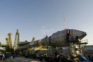
Radarsat-2
December 14, 2007 · UTC
Russian Federal Space Agency (ROSCOSMOS) · Soyuz-FG FregatZi Yuan 1-2B
September 19, 2007 · UTC
China Aerospace Science and Technology Corporation · Long March 4BWorldView-1
September 18, 2007 · UTC
United Launch Alliance · Delta II 7920-10TerraSAR-X
June 15, 2007 · UTC
ISC Kosmotras · Dnepr 1Hai Yang 1B
April 11, 2007 · UTC
China Aerospace Science and Technology Corporation · Long March 2C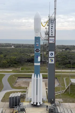
THEMIS
February 17, 2007 · UTC
United Launch Alliance · Delta II 7925-10CFeng Yun 2D
December 8, 2006 · UTC
China Aerospace Science and Technology Corporation · Long March 3A
DMSP F-17
November 4, 2006 · UTC
United States Air Force · Delta IV MMETOP A
October 19, 2006 · UTC
Russian Federal Space Agency (ROSCOSMOS) · Soyuz 2.1a FregatShi Jian 8
September 9, 2006 · UTC
China Aerospace Science and Technology Corporation · Long March 2CArirang-2
July 28, 2006 · UTC
Eurockot Launch Services · Rokot/Briz-KMBelKA
July 26, 2006 · UTC
ISC Kosmotras · Dnepr 1
Resurs-DK
June 15, 2006 · UTC
Russian Federal Space Agency (ROSCOSMOS) · Soyuz-U-PVBGOES 13
May 24, 2006 · UTC
United States Air Force · Delta IV M+(4,2)Cloudsat
April 28, 2006 · UTC
United States Air Force · Delta II 7420-10C
EROS B
April 25, 2006 · UTC
Russian Space Forces · Start-1
COSMIC 1-6
April 15, 2006 · UTC
Orbital Sciences Corporation · Minotaur I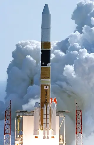
Himawari-7 (MTSAT-2)
February 18, 2006 · UTC
Japan Aerospace Exploration Agency · H-IIA 2024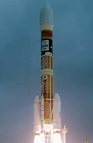
Daichi
January 24, 2006 · UTC
Japan Aerospace Exploration Agency · H-IIA 2022Monitor-E No. 1
August 26, 2005 · UTC
Russian Space Forces · Rokot/Briz-KMCosmos-1
June 21, 2005 · UTC
Makeyev Rocket Design Bureau · VolnaKT-1 satellite?
June 9, 2005 · UTC
China Aerospace Science and Technology Corporation · Kaituozhe-1Foton-M No. 2
May 31, 2005 · UTC
Russian Federal Space Agency (ROSCOSMOS) · Soyuz-U-PVBNOAA 18
May 20, 2005 · UTC
United States Air Force · Delta II 7320-10CCartosat-1
May 5, 2005 · UTC
Indian Space Research Organization · PSLVHimawari-6 (MTSAT-1R)
February 26, 2005 · UTC
Japan Aerospace Exploration Agency · H-IIA 2022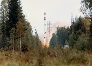
Sich-1M
December 24, 2004 · UTC
Russian Space Forces · Tsiklon-3Shiyan Weixing 2
November 18, 2004 · UTC
China Aerospace Science and Technology Corporation · Long March 2CZi Yuan 2-3
November 6, 2004 · UTC
China Aerospace Science and Technology Corporation · Long March 4BFeng Yun 2C
October 19, 2004 · UTC
China Aerospace Science and Technology Corporation · Long March 3AFanhui Shi Weixing (19)
August 29, 2004 · UTC
China Aerospace Science and Technology Corporation · Long March 2C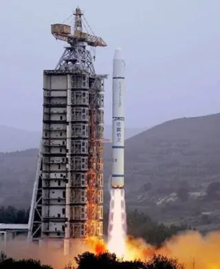
Tan Ce 2
July 25, 2004 · UTC
China Aerospace Science and Technology Corporation · Long March 2C/SMAura
July 15, 2004 · UTC
United States Air Force · Delta II 7920-10LFormosat-2
May 20, 2004 · UTC
Orbital Sciences Corporation · Minotaur-C 3210Shiyan Weixing 1
April 18, 2004 · UTC
China Aerospace Science and Technology Corporation · Long March 2CTan Ce 1
December 29, 2003 · UTC
China Aerospace Science and Technology Corporation · Long March 2C/SMZi Yuan 1-2
October 21, 2003 · UTC
China Aerospace Science and Technology Corporation · Long March 4B
DMSP F-16
October 18, 2003 · UTC
United States Air Force · Titan II SLVResourcesat
October 17, 2003 · UTC
Indian Space Research Organization · PSLVHangtian Tsinghua 1-02
September 16, 2003 · UTC
China Aerospace Science and Technology Corporation · Kaituozhe-1Icesat
January 13, 2003 · UTC
United States Air Force · Delta II 7320Coriolis
January 6, 2003 · UTC
United States Air Force · Titan II SLVMidori-2
December 14, 2002 · UTC
Japan Aerospace Exploration Agency · H-IIA 202
AlSat-1
November 28, 2002 · UTC
Production Corporation Polyot · Kosmos-3M (11K65M)Zi Yuan-2 02 xing
October 27, 2002 · UTC
China Aerospace Science and Technology Corporation · Long March 4BFoton-M No. 1
October 15, 2002 · UTC
Russian Space Forces · Soyuz-U-PVBKALPANA-1
September 12, 2002 · UTC
Indian Space Research Organization · PSLVNOAA 17
June 24, 2002 · UTC
United States Air Force · Titan II SLVHai Yang 1 & Feng Yun 1D
May 15, 2002 · UTC
China Aerospace Science and Technology Corporation · Long March 4BAqua
May 4, 2002 · UTC
United States Air Force · Delta II 7920-10L
SPOT 5
May 4, 2002 · UTC
Arianespace · Ariane 42PGRACE
March 17, 2002 · UTC
Eurockot Launch Services · Rokot/Briz-KM
Envisat
March 1, 2002 · UTC
Arianespace · Ariane 5 G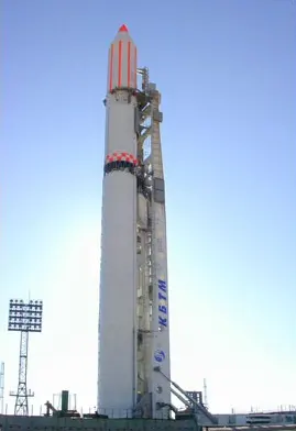
Meteor-3M No. 1
December 10, 2001 · UTC
Russian Federal Space Agency (ROSCOSMOS) · Zenit-2Jason
December 7, 2001 · UTC
United States Air Force · Delta II 7920-10TES
October 22, 2001 · UTC
Indian Space Research Organization · PSLVQuickBird 2
October 18, 2001 · UTC
United States Air Force · Delta II 7320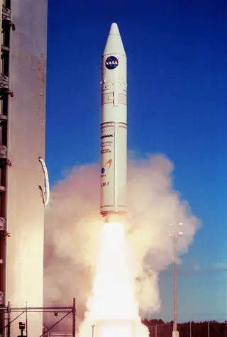
Starshine-OSCAR-43
September 30, 2001 · UTC
Lockheed Martin · Athena IOrbView-4
September 21, 2001 · UTC
Orbital Sciences Corporation · Minotaur-C 2110Odin
February 20, 2001 · UTC
Russian Space Forces · Start-1EROS A1
December 5, 2000 · UTC
Strategic Rocket Forces · Start-1EO 1 & SAC C
November 21, 2000 · UTC
United States Air Force · Delta II 7320QuickBird 1
November 20, 2000 · UTC
Production Corporation Polyot · Kosmos-3M (11K65M)NOAA 16
September 21, 2000 · UTC
United States Air Force · Titan II SLVZi Yuan-2 01 xing
September 1, 2000 · UTC
China Aerospace Science and Technology Corporation · Long March 4BCluster Rumba & Tango
August 9, 2000 · UTC
Russian Federal Space Agency (ROSCOSMOS) · Soyuz-U-PVBCluster Salsa & Samba
July 16, 2000 · UTC
Russian Federal Space Agency (ROSCOSMOS) · Soyuz-U-PVBCHAMP & MITA
July 15, 2000 · UTC
Production Corporation Polyot · Kosmos-3M (11K65M)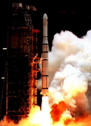
Feng Yun 2B
June 25, 2000 · UTC
China Aerospace Science and Technology Corporation · Long March 3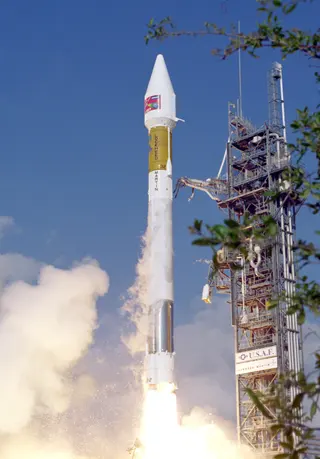
GOES 11
May 3, 2000 · UTC
Lockheed Martin · Atlas IIAMTI
March 12, 2000 · UTC
Orbital Sciences Corporation · Minotaur-C 1110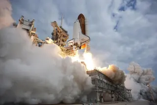
STS-99
February 11, 2000 · UTC
United Space Alliance · Space ShuttleIRDT 1
February 8, 2000 · UTC
Russian Federal Space Agency (ROSCOSMOS) · Soyuz-U-PVBArirang-1 & ACRIMSat
December 21, 1999 · UTC
Orbital Sciences Corporation · Minotaur-C 2110Terra
December 18, 1999 · UTC
Lockheed Martin · Atlas IIASDMSP F-15
December 12, 1999 · UTC
United States Air Force · Titan II SLV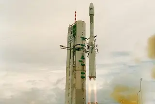
Helios 1B
December 3, 1999 · UTC
Arianespace · Ariane 40Zi Yuan 1-1
October 14, 1999 · UTC
China Aerospace Science and Technology Corporation · Long March 4B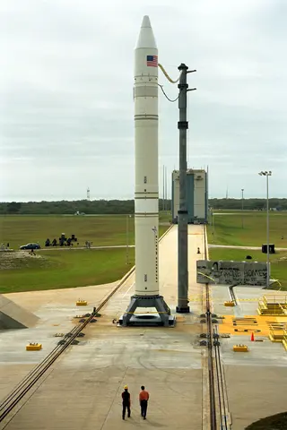
Ikonos
September 24, 1999 · UTC
Lockheed Martin · Athena IIOkean-O
July 17, 1999 · UTC
Russian Federal Space Agency (ROSCOSMOS) · Zenit-2QuikScat
June 20, 1999 · UTC
United States Air Force · Titan II SLVIRS-P4 & Uribyol-3
May 26, 1999 · UTC
Indian Space Research Organization · PSLVFeng Yun 1C
May 10, 1999 · UTC
China Aerospace Corporation · Long March 4BIkonos 1
April 27, 1999 · UTC
Lockheed Martin · Athena IIUOSAT-OSCAR-36
April 21, 1999 · UTC
ISC Kosmotras · Dnepr 1Landsat 7
April 15, 1999 · UTC
United States Air Force · Delta II 7920-10Formosat-1
January 27, 1999 · UTC
Lockheed Martin · Athena IResurs-O1
July 10, 1998 · UTC
Russian Federal Space Agency (ROSCOSMOS) · Zenit-2
NOAA 15
May 13, 1998 · UTC
United States Air Force · Titan II SLVSPOT-4
March 24, 1998 · UTC
Arianespace · Ariane 40EarlyBird
December 24, 1997 · UTC
Strategic Rocket Forces · Start-1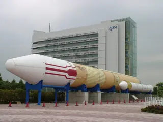
TRMM & ETS 7
November 27, 1997 · UTC
Japan Aerospace Exploration Agency · H-IIIRS-1D
September 29, 1997 · UTC
Indian Space Research Organization · PSLVLewis
August 23, 1997 · UTC
Lockheed Martin · Athena ISTS-85
August 7, 1997 · UTC
United Space Alliance · Space ShuttleFeng Yun 2A
June 10, 1997 · UTC
China Aerospace Corporation · Long March 3GOES 10
April 25, 1997 · UTC
General Dynamics · Atlas IMidori
August 17, 1996 · UTC
Japan Aerospace Exploration Agency · H-IICluster
June 4, 1996 · UTC
Arianespace · Ariane 5 GIRS-P3
March 21, 1996 · UTC
Indian Space Research Organization · PSLV
IRS-1C & Skipper
December 28, 1995 · UTC
Progress Rocket Space Center · Molniya-M 2BLRadarsat
November 4, 1995 · UTC
United States Air Force · Delta II 7920-10Okean-O1 8
August 31, 1995 · UTC
Russian Space Forces · Tsiklon-3GOES 9
May 23, 1995 · UTC
General Dynamics · Atlas IERS-2
April 21, 1995 · UTC
Arianespace · Ariane 40NOAA 14
December 30, 1994 · UTC
United States Air Force · SM-65E AtlasGeo-IK 14
November 29, 1994 · UTC
Russian Space Forces · Tsiklon-3Resurs-O1
November 4, 1994 · UTC
Russian Federal Space Agency (ROSCOSMOS) · Zenit-2STS-66
November 3, 1994 · UTC
Lockheed Space Operations Company · Space Shuttle
Elektro
October 31, 1994 · UTC
Khrunichev State Research and Production Space Center · Proton K/DM-2IRS-P2
October 15, 1994 · UTC
Indian Space Research Organization · PSLVOkean-O1 7
October 11, 1994 · UTC
Russian Space Forces · Tsiklon-3STS-68
September 30, 1994 · UTC
Lockheed Space Operations Company · Space ShuttleSTS-64
September 9, 1994 · UTC
Lockheed Space Operations Company · Space ShuttleObzor Test
August 2, 1994 · UTC
Production Corporation Polyot · Kosmos-3M (11K65M)GOES 8
April 13, 1994 · UTC
General Dynamics · Atlas ISTS-59
April 9, 1994 · UTC
Lockheed Space Operations Company · Space ShuttleMeteor-3 6
January 25, 1994 · UTC
Russian Space Forces · Tsiklon-3Landsat 6
October 5, 1993 · UTC
United States Air Force · Titan II SLVSPOT 3
September 26, 1993 · UTC
Arianespace · Ariane 40IRS-P1
September 20, 1993 · UTC
Indian Space Research Organization · PSLVMeteor-2 21
August 31, 1993 · UTC
Russian Space Forces · Tsiklon-3Resurs-F 19
August 24, 1993 · UTC
Russian Space Forces · Soyuz-U-PVBNOAA 13
August 9, 1993 · UTC
United States Air Force · SM-65E AtlasResurs-F 18
June 25, 1993 · UTC
Russian Space Forces · Soyuz-U-PVBSTS-56
April 8, 1993 · UTC
Lockheed Space Operations Company · Space ShuttleGeo-IK 13
December 22, 1992 · UTC
Russian Space Forces · Tsiklon-3MSTI-1
November 21, 1992 · UTC
United States Air Force · Scout G-1Resurs-500
November 15, 1992 · UTC
Russian Space Forces · Soyuz-U-PVBSTS-52
October 22, 1992 · UTC
Lockheed Space Operations Company · Space ShuttleResurs-F 16
August 19, 1992 · UTC
Russian Space Forces · Soyuz UTopex-Poseidon, Kitsat 1 & S80/T
August 10, 1992 · UTC
Arianespace · Ariane 42PFanhui Shi Weixing (13)
August 9, 1992 · UTC
Ministry of Aerospace Industry · Long March 2DResurs-F 15
June 23, 1992 · UTC
Russian Space Forces · Soyuz-U-PVB
SROSS-C
May 20, 1992 · UTC
Indian Space Research Organization · ASLV
Fuyo 1
February 11, 1992 · UTC
Mitsubishi Heavy Industries · H-IAUOS-Z-AP-IK 1
December 18, 1991 · UTC
Soviet Space Program · Tsiklon-3STS-48
September 12, 1991 · UTC
Lockheed Space Operations Company · Space ShuttleYohkoh
August 30, 1991 · UTC
Institute of Space and Astronautical Science · Mu-3S-II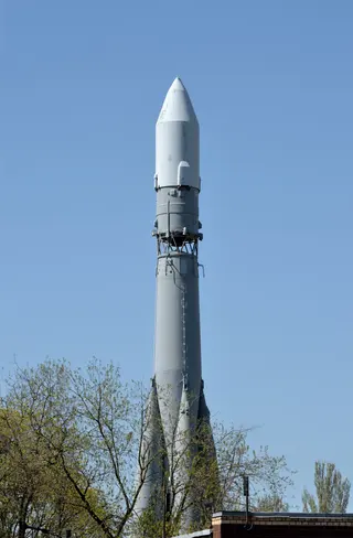
IRS-1B
August 29, 1991 · UTC
Soviet Space Program · Vostok 8A92MMeteor-3 5
August 15, 1991 · UTC
Soviet Space Program · Tsiklon-3Resurs-F 12
July 23, 1991 · UTC
Soviet Space Program · Soyuz UERS-1
July 17, 1991 · UTC
Arianespace · Ariane 40REX
June 29, 1991 · UTC
United States Air Force · Scout G-1Resurs-F 11
June 28, 1991 · UTC
Soviet Space Program · Soyuz-U-PVBOkean-O1 6
June 4, 1991 · UTC
Soviet Space Program · Tsiklon-3NOAA 12
May 14, 1991 · UTC
United States Air Force · SM-65E AtlasMeteor-3 4
April 24, 1991 · UTC
Soviet Space Program · Tsiklon-3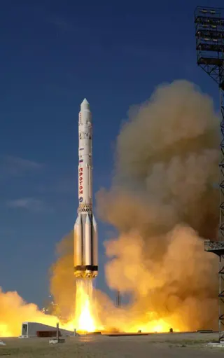
Almaz-1
March 31, 1991 · UTC
Soviet Space Program · Proton-KMeteor-2 20
September 28, 1990 · UTC
Soviet Space Program · Tsiklon-3Resurs-F 9
September 7, 1990 · UTC
Soviet Space Program · Soyuz-U-PVBFeng Yun 1B
September 3, 1990 · UTC
Ministry of Aerospace Industry · Long March 4AResurs-F 8
August 16, 1990 · UTC
Soviet Space Program · Soyuz-U-PVBGeo-IK 12
July 30, 1990 · UTC
Soviet Space Program · Tsiklon-3CRRES
July 25, 1990 · UTC
General Dynamics · Atlas IMeteor-2 19
June 27, 1990 · UTC
Soviet Space Program · Tsiklon-3Resurs-F 6
May 29, 1990 · UTC
Soviet Space Program · Soyuz UPOGS & SSR, TEX, SCE
April 11, 1990 · UTC
United States Air Force · Atlas E AltairOkean-O1 5
February 28, 1990 · UTC
Soviet Space Program · Tsiklon-3Momo 1b
February 7, 1990 · UTC
Mitsubishi Heavy Industries · H-ISPOT 2
January 22, 1990 · UTC
Arianespace · Ariane 40Meteor-3 3
October 24, 1989 · UTC
Soviet Space Program · Tsiklon-3Resurs-F 5
September 6, 1989 · UTC
Soviet Space Program · Soyuz-U-PVBHimawari 4
September 5, 1989 · UTC
Mitsubishi Heavy Industries · H-IGeo-IK 11
August 28, 1989 · UTC
Soviet Space Program · Tsiklon-3Resurs-F 3
July 18, 1989 · UTC
Soviet Space Program · Soyuz UResurs-F 2
June 27, 1989 · UTC
Soviet Space Program · Soyuz UOkean-O1 4
June 9, 1989 · UTC
Soviet Space Program · Tsiklon-3Resurs-F 1
May 25, 1989 · UTC
Soviet Space Program · Soyuz-U-PVBMeteor-2 18
February 28, 1989 · UTC
Soviet Space Program · Tsiklon-3Akebono
February 21, 1989 · UTC
Institute of Space and Astronautical Science · Mu-3S-IINOAA 11
September 24, 1988 · UTC
United States Air Force · SM-65E AtlasResurs-F1 17F43 31L 4
September 9, 1988 · UTC
Soviet Space Program · Soyuz UFeng Yun 1A
September 6, 1988 · UTC
Ministry of Aerospace Industry · Long March 4AResurs-F1 17F43 30L 3
July 27, 1988 · UTC
Soviet Space Program · Soyuz UMeteor-3 2
July 26, 1988 · UTC
Soviet Space Program · Tsiklon-3SROSS-B
July 13, 1988 · UTC
Indian Space Research Organization · ASLVResurs-F1 17F43 29L 2
July 7, 1988 · UTC
Soviet Space Program · Soyuz UOkean-O1 3
July 5, 1988 · UTC
Soviet Space Program · Tsiklon-3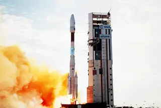
Meteosat 3
June 15, 1988 · UTC
Arianespace · Ariane 44LPResurs-F1 17F43 28L 1
May 31, 1988 · UTC
Soviet Space Program · Soyuz UGeo-IK 10
May 30, 1988 · UTC
Soviet Space Program · Tsiklon-3Resurs-O1 2
April 20, 1988 · UTC
Soviet Space Program · Vostok 8A92MSan Marco 5
March 25, 1988 · UTC
National Aeronautics and Space Administration · Scout G-1IRS-1A
March 17, 1988 · UTC
Soviet Space Program · Vostok 8A92MResurs-F1 17F40 108L 7
February 18, 1988 · UTC
Soviet Space Program · Soyuz UMeteor-2 17
January 30, 1988 · UTC
Soviet Space Program · Tsiklon-3Resurs-F1 17F40 107L 6
September 15, 1987 · UTC
Soviet Space Program · Soyuz UMeteor-2 16
August 18, 1987 · UTC
Soviet Space Program · Tsiklon-3Almaz-T 2
July 25, 1987 · UTC
Soviet Space Program · Proton-KOkean-O1 2
July 16, 1987 · UTC
Soviet Space Program · Tsiklon-3
Plasma-A 2
July 10, 1987 · UTC
Soviet Space Program · Tsiklon-2Resurs-F1 17F40 105L 5
June 18, 1987 · UTC
Soviet Space Program · Soyuz UResurs-F1 17F40 104L 4
May 21, 1987 · UTC
Soviet Space Program · Soyuz U
GOES 7
February 26, 1987 · UTC
United States Air Force · Delta 3924Geo-IK 9
February 20, 1987 · UTC
Soviet Space Program · Tsiklon-3Momo 1a
February 19, 1987 · UTC
National Space Development Agency of Japan · N-2Plasma-A 1
February 1, 1987 · UTC
Soviet Space Program · Tsiklon-2Meteor-2 15
January 5, 1987 · UTC
Soviet Space Program · Tsiklon-3Ionozond-E
December 18, 1986 · UTC
Soviet Space Program · Tsiklon-3Geo-IK 8
December 2, 1986 · UTC
Soviet Space Program · Tsiklon-3Almaz-T 1
November 29, 1986 · UTC
Soviet Space Program · Proton-KResurs-F1 17F40 61L 3
October 31, 1986 · UTC
Soviet Space Program · Soyuz UNOAA 10
September 17, 1986 · UTC
United States Air Force · SM-65E AtlasAjisai
August 12, 1986 · UTC
Mitsubishi Heavy Industries · H-IResurs-F1 17F40 60L 2
August 2, 1986 · UTC
Soviet Space Program · Soyuz UOkean-O1 1
July 28, 1986 · UTC
Soviet Space Program · Tsiklon-3Resurs-F1 17F40 59L 1
July 10, 1986 · UTC
Soviet Space Program · Soyuz UResurs-F1 17F41 58L
May 28, 1986 · UTC
Soviet Space Program · Soyuz UMeteor-2 14
May 27, 1986 · UTC
Soviet Space Program · Tsiklon-3GOES G
May 3, 1986 · UTC
United States Air Force · Delta 3914
SPOT 1 & Viking
February 22, 1986 · UTC
Arianespace · Ariane 1Geo-IK 7
February 11, 1986 · UTC
Soviet Space Program · Tsiklon-3Meteor-2 13
December 26, 1985 · UTC
Soviet Space Program · Tsiklon-3Resurs-F1 17F41 56L
December 13, 1985 · UTC
Soviet Space Program · Soyuz UMeteor-3 1
October 24, 1985 · UTC
Soviet Space Program · Tsiklon-3Resurs-O1 1
October 3, 1985 · UTC
Soviet Space Program · Vostok 8A92MResurs-F1 17F41 53L
August 29, 1985 · UTC
Soviet Space Program · Soyuz UResurs-F1 17F41 57L
August 7, 1985 · UTC
Soviet Space Program · Soyuz UResurs-F1 17F41 55L
June 21, 1985 · UTC
Soviet Space Program · Soyuz UGeo-IK 6
June 14, 1985 · UTC
Soviet Space Program · Tsiklon-3Resurs-F1 17F41 54L
June 7, 1985 · UTC
Soviet Space Program · Soyuz-U-PVBResurs-F1 17F41 52L
May 22, 1985 · UTC
Soviet Space Program · Soyuz UGeosat 1
March 13, 1985 · UTC
United States Air Force · Atlas E/OISMeteor-2 12
February 6, 1985 · UTC
Soviet Space Program · Tsiklon-3NOAA 9
December 12, 1984 · UTC
United States Air Force · SM-65E AtlasMeteor-3 1a
November 27, 1984 · UTC
Soviet Space Program · Tsiklon-3STS-41-G
October 5, 1984 · UTC
Lockheed Space Operations Company · Space ShuttleOkean-OE 2
September 28, 1984 · UTC
Soviet Space Program · Tsiklon-3Resurs-F1 17F41 51L
August 30, 1984 · UTC
Soviet Space Program · Soyuz UResurs-F1 17F41 50L
August 16, 1984 · UTC
Soviet Space Program · Soyuz UGeo-IK 5
August 8, 1984 · UTC
Soviet Space Program · Tsiklon-3Himawari 3
August 2, 1984 · UTC
National Space Development Agency of Japan · N-2Resurs-F1 17F41 49L
July 19, 1984 · UTC
Soviet Space Program · Soyuz UMeteor-2 11
July 5, 1984 · UTC
Soviet Space Program · Tsiklon-3Resurs-F1 17F41 48L
June 22, 1984 · UTC
Soviet Space Program · Soyuz UResurs-F1 17F41 26L
June 15, 1984 · UTC
Soviet Space Program · Soyuz ULandsat 5
March 1, 1984 · UTC
United States Air Force · Delta 3920Resurs-F1 17F41 27L
February 16, 1984 · UTC
Soviet Space Program · Soyuz UOhzora
February 14, 1984 · UTC
Institute of Space and Astronautical Science · Mu-3SGeo-IK 4
November 24, 1983 · UTC
Soviet Space Program · Tsiklon-3Meteor-2 10
October 28, 1983 · UTC
Soviet Space Program · Vostok 8A92MOkean-OE 1
September 28, 1983 · UTC
Soviet Space Program · Tsiklon-3Resurs-F1 17F41 24L
September 14, 1983 · UTC
Soviet Space Program · Soyuz UResurs-F1 17F41 25L
August 5, 1983 · UTC
Soviet Space Program · Soyuz UResurs-OE 1
July 24, 1983 · UTC
Soviet Space Program · Vostok 8A92MResurs-F1 17F41 23L
July 20, 1983 · UTC
Soviet Space Program · Soyuz U
HILAT
June 27, 1983 · UTC
United States Air Force · Scout D-1Resurs-F1 17F41 22L
June 7, 1983 · UTC
Soviet Space Program · Soyuz UResurs-F1 17F41 21L
May 17, 1983 · UTC
Soviet Space Program · Soyuz UGOES 6
April 28, 1983 · UTC
United States Air Force · Delta 3914
Rohini RS-D-2
April 17, 1983 · UTC
Indian Space Research Organization · SLV-3NOAA 8
March 28, 1983 · UTC
United States Air Force · SM-65E AtlasResurs-F1 17F41 20L
February 10, 1983 · UTC
Soviet Space Program · Soyuz UMeteor-2 9
December 14, 1982 · UTC
Soviet Space Program · Vostok 8A92MGeo-IK 3
September 24, 1982 · UTC
Soviet Space Program · Tsiklon-3Resurs-F1 17F41 19L
August 20, 1982 · UTC
Soviet Space Program · Soyuz ULandsat 4
July 16, 1982 · UTC
United States Air Force · Delta 3920Resurs-F1 17F41 18L
June 8, 1982 · UTC
Soviet Space Program · Soyuz UResurs-F1 17F41 17L
May 25, 1982 · UTC
Soviet Space Program · Soyuz UMeteor-2 8
March 25, 1982 · UTC
Soviet Space Program · Tsiklon-3Bhaskara 2
November 20, 1981 · UTC
Soviet Space Program · Kosmos-3M (11K65M)
Solar Mesosphere Explorer
October 6, 1981 · UTC
United States Air Force · Delta 2310Geo-IK 2
September 30, 1981 · UTC
Soviet Space Program · Tsiklon-3Aureole 3
September 21, 1981 · UTC
Soviet Space Program · Tsiklon-3Resurs-F1 17F41 16L
August 27, 1981 · UTC
Soviet Space Program · Soyuz UHimawari 2
August 10, 1981 · UTC
National Space Development Agency of Japan · N-2Dynamics Explorer 1 & 2
August 3, 1981 · UTC
United States Air Force · Delta 3913Meteor-Priroda 2-4
July 10, 1981 · UTC
Soviet Space Program · Vostok 8A92MResurs-F1 17F41 15L
July 2, 1981 · UTC
Soviet Space Program · Soyuz UNOAA 7
June 23, 1981 · UTC
United States Air Force · SM-65F AtlasMeteosat 2
June 19, 1981 · UTC
Arianespace · Ariane 1Rohini RS-D-1
May 31, 1981 · UTC
Indian Space Research Organization · SLV-3GOES 5
May 22, 1981 · UTC
United States Air Force · Delta 3914Meteor-2 7
May 14, 1981 · UTC
Soviet Space Program · Vostok 8A92MAUOS-Z-R-P-IK 2
February 6, 1981 · UTC
Soviet Space Program · Kosmos-3M (11K65M)Geo-IK 1
January 23, 1981 · UTC
Soviet Space Program · Tsiklon-3GOES 4
September 9, 1980 · UTC
United States Air Force · Delta 3914Meteor-2 6
September 9, 1980 · UTC
Soviet Space Program · Vostok 8A92MResurs-F1 17F41 14L
September 3, 1980 · UTC
Soviet Space Program · Soyuz UResurs-F1 17F41 13L
July 31, 1980 · UTC
Soviet Space Program · Soyuz UMeteor-Priroda 3-1
June 18, 1980 · UTC
Soviet Space Program · Vostok 8A92MResurs-F1 17F41 12L
June 6, 1980 · UTC
Soviet Space Program · Soyuz UNOAA B
May 29, 1980 · UTC
United States Air Force · SM-65F AtlasFirewheel
May 23, 1980 · UTC
Arianespace · Ariane 1Okean-E 2
January 23, 1980 · UTC
Soviet Space Program · Tsiklon-3AUOS-Z-R-P-IK 1
November 1, 1979 · UTC
Soviet Space Program · Kosmos-3M (11K65M)Meteor-2 5
October 31, 1979 · UTC
Soviet Space Program · Vostok 8A92MMagsat
October 30, 1979 · UTC
National Aeronautics and Space Administration · Scout G-1Resurs-F1 17F41 11L
September 5, 1979 · UTC
Soviet Space Program · Soyuz UZenit-2M/NKh 5
August 17, 1979 · UTC
Soviet Space Program · Soyuz UZenit-2M/NKh 4
July 27, 1979 · UTC
Soviet Space Program · Soyuz UNOAA 6
June 27, 1979 · UTC
United States Air Force · SM-65F AtlasZenit-2M/NKh 3
June 12, 1979 · UTC
Soviet Space Program · Soyuz UBhaskara 1
June 7, 1979 · UTC
Soviet Space Program · Kosmos-3M (11K65M)Zenit-2M/NKh 2
May 25, 1979 · UTC
Soviet Space Program · Soyuz UMeteor-2 4
March 1, 1979 · UTC
Soviet Space Program · Vostok 8A92MAUOS-Z-I-IK 1
February 27, 1979 · UTC
Soviet Space Program · Kosmos-3M (11K65M)SAGE
February 18, 1979 · UTC
National Aeronautics and Space Administration · Scout D-1Okean-E 1
February 12, 1979 · UTC
Soviet Space Program · Tsiklon-3Meteor-Priroda 2-3
January 25, 1979 · UTC
Soviet Space Program · Vostok 8A92MSfera 18
December 26, 1978 · UTC
Soviet Space Program · Kosmos-3M (11K65M)AUOS-Z-M-IK 1
October 24, 1978 · UTC
Soviet Space Program · Kosmos-3M (11K65M)
Nimbus 7
October 24, 1978 · UTC
United States Air Force · Delta 2910Tiros-N
October 13, 1978 · UTC
United States Air Force · SM-65F AtlasJikiken
September 16, 1978 · UTC
Institute of Space and Astronautical Science · Mu-3HSeasat 1
June 27, 1978 · UTC
United States Air Force · Atlas F/Agena DGOES 3
June 16, 1978 · UTC
United States Air Force · Delta 2914HCMM
April 26, 1978 · UTC
National Aeronautics and Space Administration · Scout D-1Landsat 3
March 5, 1978 · UTC
United States Air Force · Delta 2910Ume 2
February 16, 1978 · UTC
National Space Development Agency of Japan · N-IKyokko
February 4, 1978 · UTC
Institute of Space and Astronautical Science · Mu-3HMeteor-2 3
December 14, 1977 · UTC
Soviet Space Program · Vostok 8A92MSfera 17
November 24, 1977 · UTC
Soviet Space Program · Kosmos-3M (11K65M)Meteosat 1
November 23, 1977 · UTC
United States Air Force · Delta 2914Himawari
July 14, 1977 · UTC
United States Air Force · Delta 2914Meteor-Priroda 2-2
June 29, 1977 · UTC
Soviet Space Program · Vostok 8A92MSigne 3
June 17, 1977 · UTC
Soviet Space Program · Kosmos-3M (11K65M)GOES 2
June 16, 1977 · UTC
United States Air Force · Delta 2914Sfera 16
May 25, 1977 · UTC
Soviet Space Program · Kosmos-3M (11K65M)Geos 1
April 20, 1977 · UTC
United States Air Force · Delta 2914Meteor-1 27 (39L)
April 5, 1977 · UTC
Soviet Space Program · Vostok 8A92MMeteor-2 2
January 6, 1977 · UTC
Soviet Space Program · Vostok 8A92MMeteor-1 26 (35L)
October 15, 1976 · UTC
Soviet Space Program · Vostok 8A92MNOAA 5
July 29, 1976 · UTC
United States Air Force · Delta 2310Sfera 15
July 21, 1976 · UTC
Soviet Space Program · Kosmos-3M (11K65M)Meteor-Priroda 2-1
May 15, 1976 · UTC
Soviet Space Program · Vostok 8A92MLageos 1
May 4, 1976 · UTC
United States Air Force · Delta 2913Meteor-1 24 (37L)
April 7, 1976 · UTC
Soviet Space Program · Vostok 8A92MUme 1
February 29, 1976 · UTC
National Space Development Agency of Japan · N-IMeteor-1 23 (38L)
December 25, 1975 · UTC
Soviet Space Program · Vostok 8A92MDS-U2-IK 7
December 11, 1975 · UTC
Soviet Space Program · Kosmos-3M (11K65M)DAD-A & B
December 6, 1975 · UTC
National Aeronautics and Space Administration · Scout F-1AE-E
November 20, 1975 · UTC
United States Air Force · Delta 2910GOES 1
October 16, 1975 · UTC
United States Air Force · Delta 2914AE-D
October 6, 1975 · UTC
United States Air Force · Delta 2910Aura
September 27, 1975 · UTC
National Center of Space Research · Diamant BP4Sfera 14
September 24, 1975 · UTC
Soviet Space Program · Kosmos-3M (11K65M)Meteor-1 22 (28L)
September 18, 1975 · UTC
Soviet Space Program · Vostok 8A92MMeteor-2 1
July 11, 1975 · UTC
Soviet Space Program · Vostok 8A92MNimbus 6
June 12, 1975 · UTC
United States Air Force · Delta 2910DS-U3-IK 5
June 3, 1975 · UTC
Soviet Space Program · Kosmos-3M (11K65M)
Zenit-2M/NKh 1
May 30, 1975 · UTC
Soviet Space Program · VoskhodCastor & Pollux
May 17, 1975 · UTC
National Center of Space Research · Diamant BP4Aryabhata
April 19, 1975 · UTC
Soviet Space Program · Kosmos-3M (11K65M)P72-2
April 13, 1975 · UTC
United States Air Force · SM-65F AtlasGeos 3
April 9, 1975 · UTC
United States Air Force · Delta 1410Meteor-1 21 (31L)
April 1, 1975 · UTC
Soviet Space Program · Vostok 8A92MDS-U2-IK 6
March 27, 1975 · UTC
Soviet Space Program · Kosmos-3M (11K65M)Taiyo
February 24, 1975 · UTC
Institute of Space and Astronautical Science · Mu-3CSfera 13
February 12, 1975 · UTC
Soviet Space Program · Kosmos-3M (11K65M)SMS 2
February 6, 1975 · UTC
United States Air Force · Delta 2914Starlette
February 6, 1975 · UTC
National Center of Space Research · Diamant BP4Landsat 2
January 22, 1975 · UTC
United States Air Force · Delta 2910Meteor-1 20 (32L)
December 17, 1974 · UTC
Soviet Space Program · Vostok 8A92MNOAA 4
November 15, 1974 · UTC
United States Air Force · Delta 2310DS-U2-IK 5
October 31, 1974 · UTC
Soviet Space Program · Kosmos-3M (11K65M)Meteor-1 19 (33L)
October 28, 1974 · UTC
Soviet Space Program · Vostok 8A92MSfera 12
August 29, 1974 · UTC
Soviet Space Program · Kosmos-3M (11K65M)Aeros 2
July 16, 1974 · UTC
National Aeronautics and Space Administration · Scout D-1Meteor-Priroda 1
July 9, 1974 · UTC
Soviet Space Program · Vostok 8A92MHawkeye 1
June 3, 1974 · UTC
National Aeronautics and Space Administration · Scout E-1SMS 1
May 17, 1974 · UTC
United States Air Force · Delta 2914Sfera 11
April 29, 1974 · UTC
Soviet Space Program · Kosmos-3M (11K65M)Meteor-1 17 (22L)
April 24, 1974 · UTC
Soviet Space Program · Vostok 8A92MMeteor-1 16 (30L)
March 5, 1974 · UTC
Soviet Space Program · Vostok 8A92MSan Marco 4
February 18, 1974 · UTC
Italian Space Agency · Scout D-1Aureole 2
December 26, 1973 · UTC
Soviet Space Program · Kosmos-3M (11K65M)AE-C
December 16, 1973 · UTC
United States Air Force · Delta 1900NOAA 3
November 6, 1973 · UTC
United States Air Force · Delta 0300DS-U2-IK 4
October 30, 1973 · UTC
Soviet Space Program · Kosmos-3M (11K65M)Sfera 10
September 8, 1973 · UTC
Soviet Space Program · Kosmos-3M (11K65M)ITOS E
July 16, 1973 · UTC
United States Air Force · Delta 0300Meteor-1 15 (27L)
May 29, 1973 · UTC
Soviet Space Program · Vostok 8A92M
Castor & Pollux
May 21, 1973 · UTC
National Center of Space Research · Diamant B
DS-U2-IK 3 & Kopernik-500
April 19, 1973 · UTC
Soviet Space Program · Kosmos 11K63Meteor-1 14 (29L)
March 20, 1973 · UTC
Soviet Space Program · Vostok 8A92MSfera 9
December 21, 1972 · UTC
Soviet Space Program · Kosmos-3M (11K65M)Aeros 1
December 16, 1972 · UTC
National Aeronautics and Space Administration · Scout D-1
Nimbus 5
December 11, 1972 · UTC
United States Air Force · Delta 0900DS-U1-IK 2
November 30, 1972 · UTC
Soviet Space Program · Kosmos 11K63ESRO 4
November 22, 1972 · UTC
European Space Research Organisation · Scout D-1Meteor-1 13 (25L)
October 26, 1972 · UTC
Soviet Space Program · Vostok 8A92MNOAA 2
October 15, 1972 · UTC
United States Air Force · Delta 0300Denpa
August 19, 1972 · UTC
Institute of Space and Astronautical Science · Mu-4SLandsat 1
July 23, 1972 · UTC
United States Air Force · Delta 0900Meteor-1 12 (26L)
June 30, 1972 · UTC
Soviet Space Program · Vostok 8A92MMeteor-1 11 (23L)
March 30, 1972 · UTC
Soviet Space Program · Vostok 8A92MSfera 8
March 25, 1972 · UTC
Soviet Space Program · Kosmos-3M (11K65M)Meteor-1 10 (18L)
December 29, 1971 · UTC
Soviet Space Program · Vostok 8A92MAureole 1
December 27, 1971 · UTC
Soviet Space Program · Kosmos-3M (11K65M)
Ariel 4
December 11, 1971 · UTC
Science and Engineering Research Council · Scout B-1DS-U2-IK 2
December 2, 1971 · UTC
Soviet Space Program · Kosmos 11K63Sfera 7
November 20, 1971 · UTC
Soviet Space Program · Kosmos-3M (11K65M)
SSS 1
November 15, 1971 · UTC
National Aeronautics and Space Administration · Scout BITOS B
October 21, 1971 · UTC
United States Air Force · Thor Delta N6BIC
September 20, 1971 · UTC
National Aeronautics and Space Administration · Scout BLOADS 2
August 7, 1971 · UTC
United States Air Force · SM-65F AtlasMeteor-1 9 (20L)
July 16, 1971 · UTC
Soviet Space Program · Vostok 8A92MDS-U2-K
June 4, 1971 · UTC
Soviet Space Program · Kosmos-3M (11K65M)Sfera 6
April 28, 1971 · UTC
Soviet Space Program · Kosmos-3M (11K65M)San Marco 3
April 24, 1971 · UTC
Italian Space Agency · Scout BMeteor-1 8 (21L)
April 17, 1971 · UTC
Soviet Space Program · Vostok 8A92M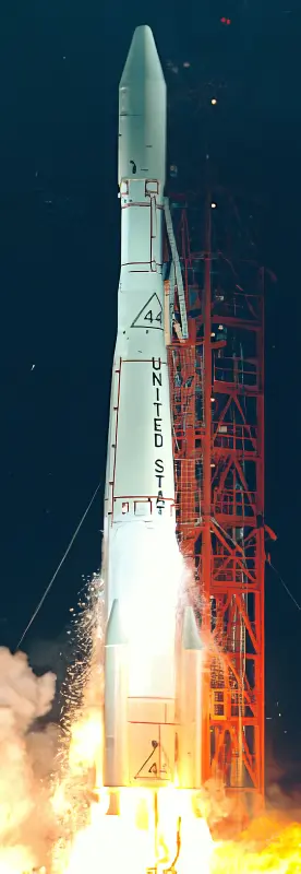
Isis 2
April 1, 1971 · UTC
United States Air Force · Thor Delta E1Meteor-1 7 (19L)
January 20, 1971 · UTC
Soviet Space Program · Vostok 8A92MNOAA 1
December 11, 1970 · UTC
United States Air Force · Thor Delta N6Ionosfernaya Stantsiya 2
December 2, 1970 · UTC
Soviet Space Program · Kosmos-3M (11K65M)DS-U2-IP
November 17, 1970 · UTC
Soviet Space Program · Kosmos-3M (11K65M)Meteor-1 6 (16L)
October 15, 1970 · UTC
Soviet Space Program · Vostok 8A92MDS-U2-MG 2
August 10, 1970 · UTC
Soviet Space Program · Kosmos 11K63DS-U2-IK 1
August 7, 1970 · UTC
Soviet Space Program · Kosmos 11K63Meteor-1 5 (17L)
June 23, 1970 · UTC
Soviet Space Program · Vostok 8A92MDS-U2-GK 2
June 13, 1970 · UTC
Soviet Space Program · Kosmos 11K63Meteor-1 4 (13L)
April 28, 1970 · UTC
Soviet Space Program · Vostok 8A92MDS-U1-R
April 24, 1970 · UTC
Soviet Space Program · Kosmos 11K63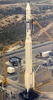
Nimbus 4
April 8, 1970 · UTC
United States Air Force · Thorad SLV-2G Agena DMeteor-1 3 (14L)
March 17, 1970 · UTC
Soviet Space Program · Vostok 8A92MDial Wika
March 10, 1970 · UTC
National Center of Space Research · Diamant BITOS 1
January 23, 1970 · UTC
United States Air Force · Thor Delta N6DS-U2-MG 1
January 20, 1970 · UTC
Soviet Space Program · Kosmos 11K63Ionosfernaya Stantsiya 1
December 27, 1969 · UTC
Soviet Space Program · Kosmos-3M (11K65M)DS-U1-IK 1
December 25, 1969 · UTC
Soviet Space Program · Kosmos 11K63Sfera 5
November 24, 1969 · UTC
Soviet Space Program · Kosmos-3M (11K65M)Azur
November 8, 1969 · UTC
German Aerospace Center · Scout BMeteor-1 2 (15L)
October 6, 1969 · UTC
Soviet Space Program · Vostok 8A92MESRO 1B (Boreas)
October 1, 1969 · UTC
European Space Research Organisation · Scout B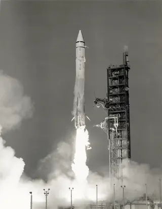
ATS 5
August 12, 1969 · UTC
United States Air Force · Atlas SLV-3C CentaurDSAP-4B F3
July 23, 1969 · UTC
United States Air Force · Thor Burner 2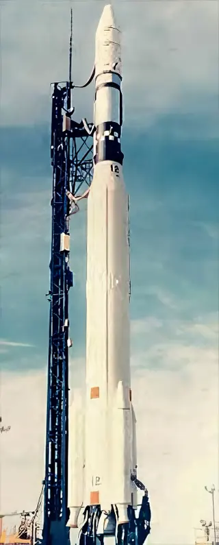
OGO 6
June 5, 1969 · UTC
United States Air Force · Thorad SLV-2H Agena DNimbus 3
April 14, 1969 · UTC
United States Air Force · Thorad SLV-2G Agena DMeteor-1 1 (12L)
March 26, 1969 · UTC
Soviet Space Program · Vostok 8A92MSfera 4
March 17, 1969 · UTC
Soviet Space Program · Kosmos-3M (11K65M)ESSA 9
February 26, 1969 · UTC
United States Air Force · Thor Delta E1Meteor-1 11
February 1, 1969 · UTC
Soviet Space Program · Vostok 8A92MIsis 1
January 30, 1969 · UTC
United States Air Force · Thor Delta E1DS-U2-GK 1
December 19, 1968 · UTC
Soviet Space Program · Kosmos 11K63ESSA 8
December 15, 1968 · UTC
United States Air Force · Thor Delta NDS-U2-I 3
December 14, 1968 · UTC
Soviet Space Program · Kosmos 11K63Sfera 3
November 30, 1968 · UTC
Soviet Space Program · Kosmos-3M (11K65M)Proton-4
November 16, 1968 · UTC
Soviet Space Program · Proton-KDSAP-4B F2
October 23, 1968 · UTC
United States Air Force · Thor Burner 2ESRO 1A (Aurorae)
October 3, 1968 · UTC
European Space Research Organisation · Scout BESSA 7
August 16, 1968 · UTC
United States Air Force · Thor Delta NATS 4
August 10, 1968 · UTC
United States Air Force · Atlas SLV-3C CentaurExplorer 39
August 8, 1968 · UTC
National Aeronautics and Space Administration · Scout BMeteor-1 10
June 12, 1968 · UTC
Soviet Space Program · Vostok 8A92MDS-U1-Ya 2
June 11, 1968 · UTC
Soviet Space Program · Kosmos 11K63Sfera 2
June 4, 1968 · UTC
Soviet Space Program · Kosmos-3M (11K65M)DSAP-4B F1
May 23, 1968 · UTC
United States Air Force · Thor Burner 2Nimbus B
May 18, 1968 · UTC
United States Air Force · Thorad SLV-2G Agena DDS-U2-D 2
April 26, 1968 · UTC
Soviet Space Program · Kosmos 11K63Meteor-1 9
March 14, 1968 · UTC
Soviet Space Program · Vostok 8A92MDS-U1-Ya 1
March 6, 1968 · UTC
Soviet Space Program · Kosmos 11K63
OGO 5
March 4, 1968 · UTC
United States Air Force · Atlas SLV-3A Agena DSfera 1
February 20, 1968 · UTC
Soviet Space Program · Kosmos-3M (11K65M)DS-U2-V 4
February 20, 1968 · UTC
Soviet Space Program · Kosmos 11K63GEOS B
January 11, 1968 · UTC
United States Air Force · Thor Delta E1DS-U2-V 3
December 26, 1967 · UTC
Soviet Space Program · Kosmos 11K63
DS-U1-G 2
December 19, 1967 · UTC
Soviet Space Program · Kosmos-2IOV3-6
December 5, 1967 · UTC
United States Air Force · Scout BESSA 6
November 10, 1967 · UTC
United States Air Force · Thor Delta E1
ATS 3
November 5, 1967 · UTC
United States Air Force · Atlas SLV-3 Agena DMeteor-1 8
October 24, 1967 · UTC
Soviet Space Program · Vostok 8A92MDSAP-4A F4
October 11, 1967 · UTC
United States Air Force · Thor Burner 2DSAP-4A F3
August 23, 1967 · UTC
United States Air Force · Thor Burner 2
OGO 4
July 28, 1967 · UTC
United States Air Force · Thor SLV-2A Agena DAurora 1 & SECOR 9
June 29, 1967 · UTC
United States Air Force · Thor Burner 2DS-U2-MP 2
June 5, 1967 · UTC
Soviet Space Program · Kosmos 11K63Ariel 3
May 5, 1967 · UTC
Science and Engineering Research Council · Scout AMeteor-1 7
April 27, 1967 · UTC
Soviet Space Program · Vostok 8A92MSan Marco 2
April 26, 1967 · UTC
National Research Council · Scout B
ESSA 5
April 20, 1967 · UTC
United States Air Force · Thor Delta EATS 2
April 6, 1967 · UTC
United States Air Force · Atlas SLV-3 Agena DMeteor-1 6
February 28, 1967 · UTC
Soviet Space Program · Vostok 8A92M
Diademe D-1D
February 15, 1967 · UTC
National Center of Space Research · Diamant ADS-U2-I 2
February 14, 1967 · UTC
Soviet Space Program · Kosmos 11K63Diademe D-1C
February 8, 1967 · UTC
National Center of Space Research · Diamant ADSAP-4A F2
February 8, 1967 · UTC
United States Air Force · Thor Burner 2OV3-5
January 31, 1967 · UTC
United States Air Force · Scout BESSA 4
January 26, 1967 · UTC
United States Air Force · Thor Delta EDS-U2-D 1
December 21, 1966 · UTC
Soviet Space Program · Kosmos-2IDS-U2-MP 1
December 12, 1966 · UTC
Soviet Space Program · Kosmos 11K63ATS 1
December 7, 1966 · UTC
United States Air Force · Atlas SLV-3 Agena DOV3-2
October 28, 1966 · UTC
United States Air Force · Scout BESSA 3
October 2, 1966 · UTC
United States Air Force · Thor Delta EDSAP-4A F1
September 16, 1966 · UTC
United States Air Force · Thor Burner 2OV3-3
August 4, 1966 · UTC
United States Air Force · Scout BMeteor-1 5
June 25, 1966 · UTC
Soviet Space Program · Vostok 8A92MPageos
June 24, 1966 · UTC
United States Air Force · Thor SLV-2A Agena DOV3-4
June 10, 1966 · UTC
United States Air Force · Scout BOGO 3
June 7, 1966 · UTC
United States Air Force · Atlas SLV-3 Agena BExplorer 32
May 25, 1966 · UTC
United States Air Force · Thor Delta C1DS-U2-I 1
May 24, 1966 · UTC
Soviet Space Program · Kosmos 11K63Nimbus 2
May 15, 1966 · UTC
United States Air Force · Thor SLV-2A Agena BMeteor-1 4
May 11, 1966 · UTC
Soviet Space Program · Vostok 8A92MOV3-1
April 22, 1966 · UTC
United States Air Force · Scout BESSA 2
February 28, 1966 · UTC
United States Air Force · Thor Delta EDiapason D-1A
February 17, 1966 · UTC
National Center of Space Research · Diamant ADS-U1-G 1
February 11, 1966 · UTC
Soviet Space Program · Kosmos-2I
ESSA 1
February 3, 1966 · UTC
United States Air Force · Thor Delta CMeteor-1 3
December 17, 1965 · UTC
Soviet Space Program · Vostok 8A92M
FR-1
December 6, 1965 · UTC
National Center of Space Research · Scout X-4Alouette 2
November 29, 1965 · UTC
United States Air Force · Thor SLV-2 Agena BGEOS A
November 6, 1965 · UTC
United States Air Force · Thor Delta EDS-U2-V 2
November 4, 1965 · UTC
Soviet Space Program · Kosmos 11K63DS-U2-V 1
October 19, 1965 · UTC
Soviet Space Program · Kosmos 11K63
OV2-1
October 15, 1965 · UTC
United States Air Force · Titan IIICOGO 2
October 14, 1965 · UTC
United States Air Force · Thor SLV-2A Agena D
MRPV
September 2, 1965 · UTC
United States Air Force · Thor SLV-2 Agena D
Pegasus 3
July 30, 1965 · UTC
National Aeronautics and Space Administration · Saturn ITiros 10
July 2, 1965 · UTC
United States Air Force · Thor Delta C
OAR 22-5
June 9, 1965 · UTC
United States Air Force · Blue Scout JrPegasus 2
May 25, 1965 · UTC
National Aeronautics and Space Administration · Saturn IOAR 22-8
May 12, 1965 · UTC
United States Air Force · Blue Scout JrBeacon Explorer C
April 29, 1965 · UTC
National Aeronautics and Space Administration · Scout X-4OAR 22-9
April 9, 1965 · UTC
United States Air Force · Blue Scout JrOAR 22-4
March 30, 1965 · UTC
United States Air Force · Blue Scout JrMeteor-1 2
February 26, 1965 · UTC
Soviet Space Program · Vostok 8A92MPegasus 1
February 16, 1965 · UTC
National Aeronautics and Space Administration · Saturn ITiros 9
January 22, 1965 · UTC
United States Air Force · Thor Delta CExplorer 26
December 21, 1964 · UTC
United States Air Force · Thor Delta CExplorer 24 & 25
November 21, 1964 · UTC
National Aeronautics and Space Administration · Scout X-4DS-MG 2
October 24, 1964 · UTC
Soviet Space Program · Kosmos-2IBeacon Explorer B
October 10, 1964 · UTC
National Aeronautics and Space Administration · Scout X-4
OGO 1
September 5, 1964 · UTC
United States Air Force · Atlas LV-3 Agena BMeteor-1 1
August 28, 1964 · UTC
Soviet Space Program · Vostok 8A92MNimbus 1
August 28, 1964 · UTC
United States Air Force · Thor SLV-2 Agena BExplorer 20
August 25, 1964 · UTC
National Aeronautics and Space Administration · Scout X-4
Elektron-3 &4
July 10, 1964 · UTC
Soviet Space Program · Vostok-KESRS
June 25, 1964 · UTC
United States Air Force · Scout X-4Beacon Explorer A
March 19, 1964 · UTC
United States Air Force · Thor Delta BDS-MG 1
March 18, 1964 · UTC
Soviet Space Program · Kosmos-2IElektron-1 & 2
January 30, 1964 · UTC
Soviet Space Program · Vostok-KTiros 8
December 21, 1963 · UTC
United States Air Force · Thor Delta BExplorer 19
December 19, 1963 · UTC
National Aeronautics and Space Administration · Scout X-4GRS
June 28, 1963 · UTC
United States Air Force · Scout X-4Tiros 7
June 19, 1963 · UTC
United States Air Force · Thor Delta BExplorer 17
April 3, 1963 · UTC
United States Air Force · Thor Delta BExplorer 16
December 16, 1962 · UTC
National Aeronautics and Space Administration · Scout X-3
ANNA 1B
October 31, 1962 · UTC
United States Air Force · Thor DM-21 AblestarExplorer 15
October 27, 1962 · UTC
United States Air Force · Thor Delta A
Alouette 1
September 29, 1962 · UTC
United States Air Force · Thor DM-21 Agena-B
Tiros 6
September 18, 1962 · UTC
United States Air Force · Thor DeltaSputnik 18
August 18, 1962 · UTC
Soviet Space Program · Kosmos-2ITiros 5
June 19, 1962 · UTC
United States Air Force · Thor DeltaANNA 1A
May 10, 1962 · UTC
United States Air Force · Thor DM-21 AblestarTrailblazer IIb
May 6, 1962 · UTC
National Aeronautics and Space Administration · Trailblazer 2Ariel 1
April 26, 1962 · UTC
United States Air Force · Thor DeltaP-21A
March 29, 1962 · UTC
National Aeronautics and Space Administration · Scout X-2Tiros 4
February 8, 1962 · UTC
United States Air Force · Thor DeltaBlue Scout Jr. O-2
December 4, 1961 · UTC
United States Air Force · Blue Scout Jr
P-21
October 19, 1961 · UTC
National Aeronautics and Space Administration · Scout X-1O-1
August 17, 1961 · UTC
United States Air Force · Blue Scout JrTiros 2
November 23, 1960 · UTC
United States Air Force · Thor Delta
Explorer 8
November 3, 1960 · UTC
National Aeronautics and Space Administration · Juno IIST-2
October 4, 1960 · UTC
National Aeronautics and Space Administration · Scout X-1Blue Scout D-1
September 21, 1960 · UTC
United States Air Force · Blue Scout JrTiros 1
April 1, 1960 · UTC
United States Air Force · Thor Able IINASA S-46
March 23, 1960 · UTC
National Aeronautics and Space Administration · Juno II
Vanguard III
September 18, 1959 · UTC
US Navy · VanguardExplorer 6
August 7, 1959 · UTC
United States Air Force · Thor Able IIINASA S-1
July 16, 1959 · UTC
National Aeronautics and Space Administration · Juno IIVanguard
June 22, 1959 · UTC
US Navy · VanguardVanguard
April 14, 1959 · UTC
US Navy · VanguardVanguard II
February 17, 1959 · UTC
US Navy · VanguardVanguard
September 26, 1958 · UTC
US Navy · Vanguard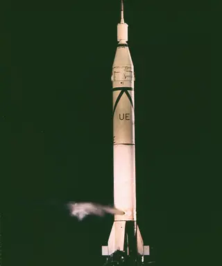
Explorer 5
August 24, 1958 · UTC
Army Ballistic Missile Agency · Juno-IExplorer 4
July 26, 1958 · UTC
Army Ballistic Missile Agency · Juno-I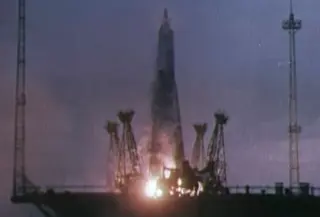
D1- 2
May 15, 1958 · UTC
Soviet Space Program · Sputnik 8A91D-1 1
April 27, 1958 · UTC
Soviet Space Program · Sputnik 8A91Explorer 3
March 26, 1958 · UTC
Army Ballistic Missile Agency · Juno-Iこの条件に合う記録はありません。
Programs (8)
この記録について
Every launch classified Earth Science by the production source, including commercial Earth observation and failed attempts; linked events follow the same canonical graph. Communications and navigation launches are excluded unless explicitly classified Earth Science. Reviewed canonical exceptions include Suomi NPP, whose lightweight source projection omits its mission type. Launch outcomes describe the recorded flight. They do not establish whether an old spacecraft is operating today. Events show published targets unless the record confirms an outcome.